


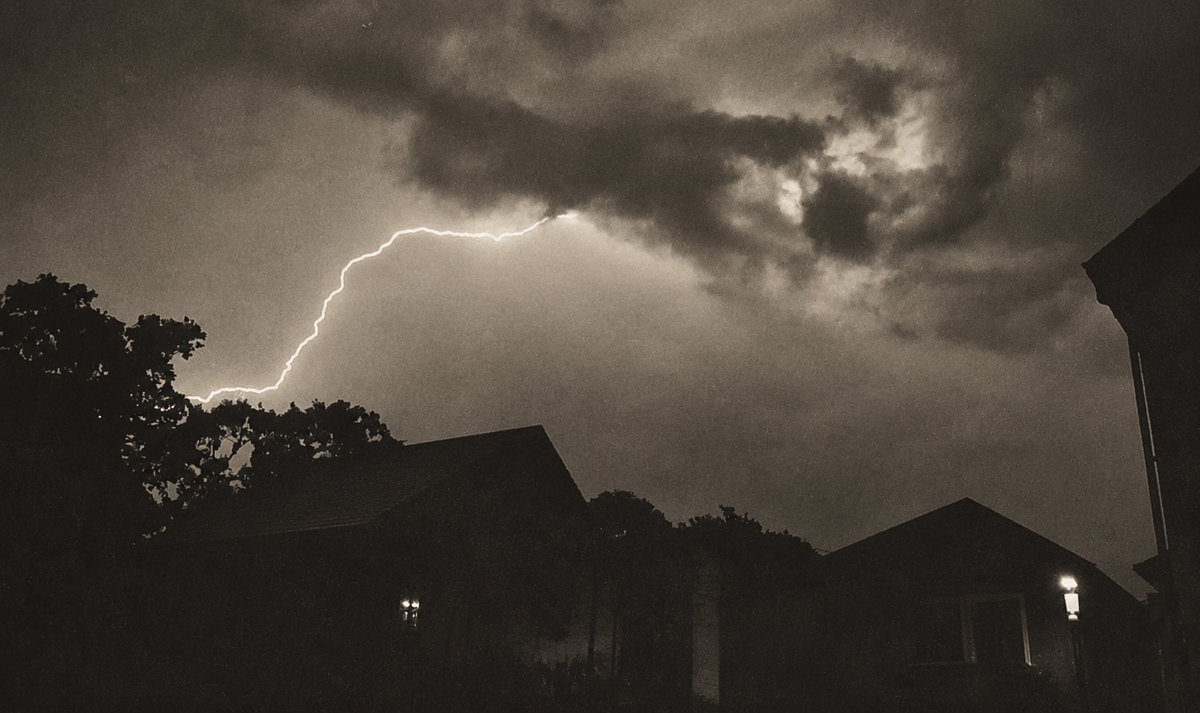


 UPDATED: Islanders are being warned about the potential for isolated heavy and possibly severe thunderstorms tomorrow evening (Friday) and overnight into Saturday morning.
The Met Office have issued a yellow weather warning for rain between 19:00 on Friday and midday on Saturday and say up to 30mm of rainfall is possible in under an hour, with as much as 50mm possible in just 3 hours.
Another hot and increasingly humid airmass is expected to spread into the south from the Continent, bringing thunderstorms with it which could become more frequent later in the night. With large amounts of energy again available in this atmosphere, storms could be severe with torrential downpours and large hail.


 UPDATE FRIDAY @ 12:15 – The Met Office have this afternoon updated their weather warning to indicate an increased likelihood of severe weather, although there is still some uncertainty regarding which areas are most at risk from the storms.
Forecasters are warning that localised surface water flooding, with hail, frequent lightning and squally winds are likely hazards throughout this evening and overnight into Saturday.
Local weather forecasters IOW Weather say some computer models show the strongest storms will be over the Isle of Wight, but other models suggest the more severe weather will develop over the mainland.
Stay connected with Island Echo for all the latest on the storm and related breaking news on Facebook, Twitter and www.islandecho.co.uk.
Featured photograph of Ventnor thanks to Dan Spurgin