


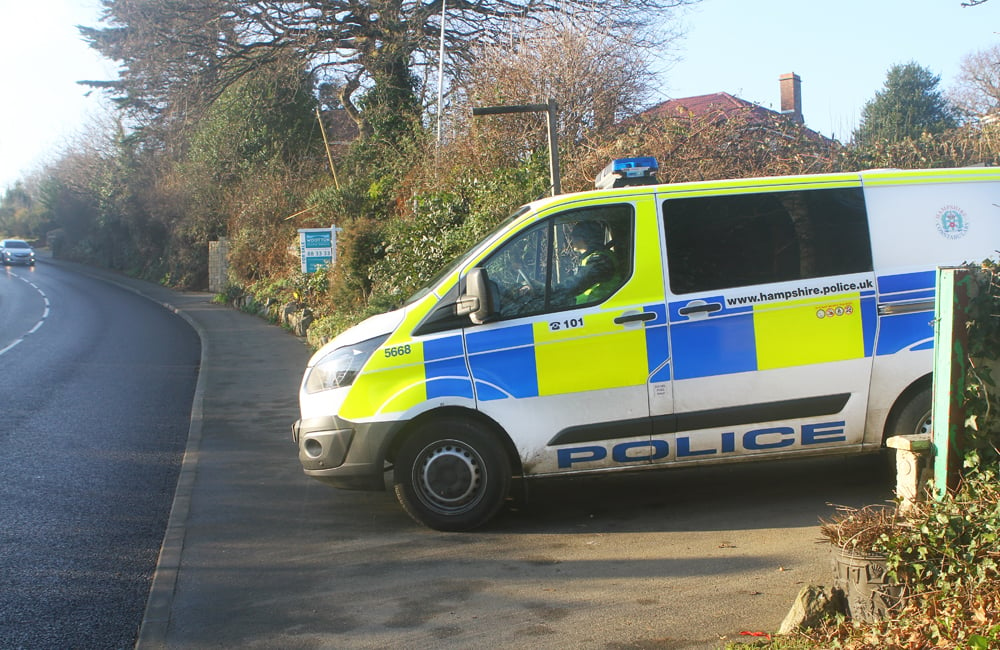


 Several flood warnings have been issued for the Isle of Wight with towns such as East Cowes, Cowes, Freshwater, Newport, Wootton and Yarmouth said to be at risk of flooding overnight. The Environment Agency says that Monday night’s late tide/Tuesday’s early morning tide will be higher than normal due to unsettled weather with strong Southerly Force 6 winds. The weather is set to increase tide table values by 0.57m in Cowes, with the total forecast tide 5.29m. It could be the ‘highest recorded’ tide, indicating the severity of the risk to property. Property owners are being urged to install flood protection, whilst motorists are being told to move cars from seafront car parks. It’s said that for 1 hour either side of high water, property flooding is expected at the bottom of Medina Road, near the floating bridge, as well as on Cowes High Street. The Esplanade, Parade, Egypt Point and seafront parking areas in Cowes could become impassable. On the other side of the River Medina, Albany Road, Well Road, York Avenue, Castle Street and Ferry Road in East Cowes could also flood, as will Little London and Newport Quay in the centre of the Island. Flooding is expected to a small number of properties at Wootton Bridge, including Mill Square.
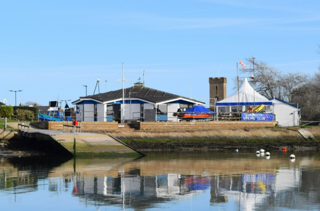
  In Yarmouth, overtopping will occur on Quay Street, Pier Square, Mill Road and Gasworks Lane. The Wightlink ferry terminal will also be flooded. Freshwater will see significant amounts of water surrounding the Albion Hotel and lifeboat station. The tide will also be high at Fort Albert. A separate flood alert for the Isle of Wight coast remains in force.
After this tide, the Environment Agency says the weather will become more settled but minor impacts could continue until Thursday, Islanders are warning. Sandbags Sandbags are being deployed throughout the afternoon and will be available to residents in the following locations:
- St Mary’s Carpark, Cowes
- Well Road, East Cowes
- Simeon Street Recreation Ground, Ryde
- Wootton – adj. slipway at Mill Square
- Gurnard – junction of Rew street and Lower Church Rd
- Newport – Newport Harbour junction of Sea Street.
- Yarmouth – Riverway Car Park
Who to contact in the event of a flood For key contact information and advice, visit our flooding page: Flooding (iow.gov.uk) To report flooding in your area, or to contact your local Environment Agency Duty Officer, call the Incident Communication Service on 0845 850 3518. To check the latest information for your area:

- Visit the GOV.UK website to see the current flood warnings, view river and sea levels or check the 5-day flood risk forecast: Flood warning for Cowes, East Cowes, and Newport – GOV.UK (check-for-flooding.service.gov.uk)
- Follow @EnvAgency and #floodaware on Twitter.
- Further detailed forecasting from the Met Office: Weather and climate change – Met Office
What you should consider doing now
- Monitor local water levels and weather conditions
- Get ready to act on your flood plan if you have one
- Move cars or other vehicles to higher ground, if it is safe to do so
- Check that you know how to turn off your gas, electricity and water mains supplies
- Avoid walking, cycling or driving through flood water. 30cm of fast-flowing water can move a car and 6 inches can knock an adult off their feet
- Flood water is dangerous and may be polluted. Wash your hands thoroughly if you've been in contact with it