


 Strong winds of between 50-70mph are expected to hit the Isle of Wight on Tuesday, with a yellow weather warning issued as a result. Forecasters at IW Met Service say that a small but rather intense area of low pressure will arrive during the early hours of Tuesday morning, bringing strong southerly winds initially with gusts up to 50mph. This will be followed by a spell of southwesterly winds with gusts potentially reaching 60-65mph across some parts, perhaps even as high as 70mph around headlands and over high ground. Through the daylight hours of Tuesday morning very strong gusts up to 50-55mph will continue, but slowly easing as the afternoon progresses.
 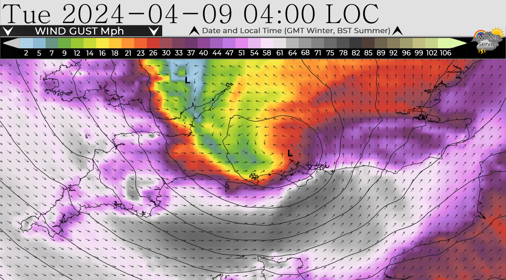 Jamie Russell, Chief Forecaster at IW Met Service, says:
“It should be noted that there is some uncertainty to the exact track of the storm system, meaning that a slight shift to the south and the worst of the winds will miss the island. “We now base our warnings on our summer threshold”.
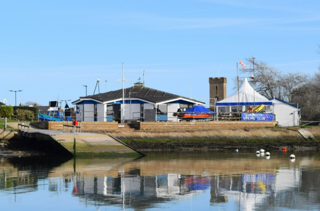
Islanders should be aware of the risk of falling tree debris, the risk of damage to outdoor furniture and possible delays to cross-Solent transportation. Very large waves are expected around eastern and southern coasts overnight, shifting more to western and southern coasts Tuesday daytime with the risk of sudden surges.