



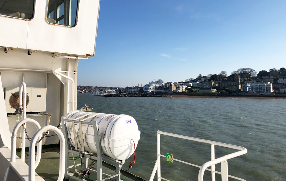





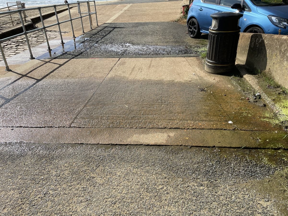




































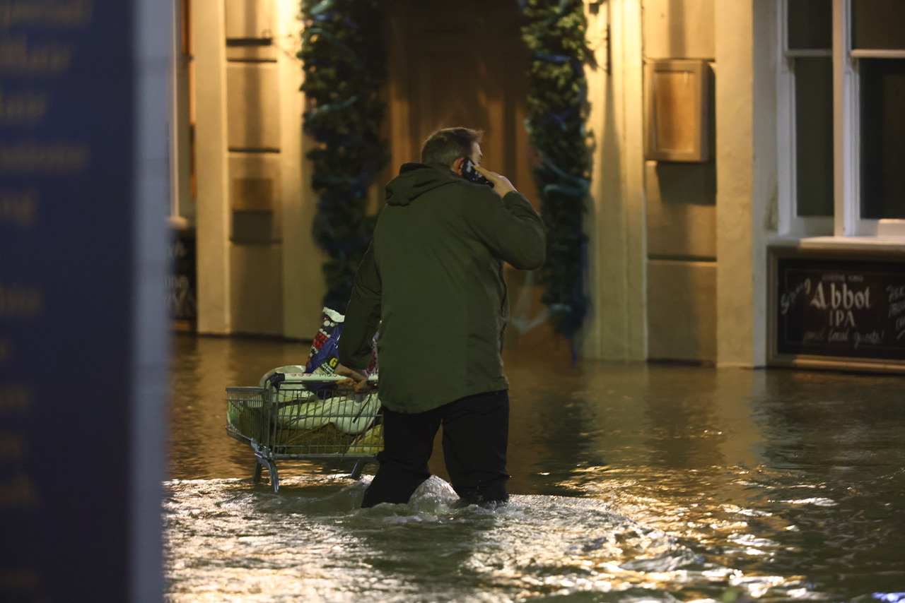
 The Environment Agency (EA) has issued a further update warning of flooding in areas of the North Wight this lunchtime (Tuesday). As previously reported by Island Echo, extreme tidal flooding hit areas across the Island – including Cowes, East Cowes, Yarmouth and Wootton. Business and homeowners were up until the early hours battling the elements as they fought back against what was described as the ‘highest recorded tide’. Despite water levels dropping considerably after around 02:00 this morning, a further warning has since been issued. Tuesday afternoon‘s tide at 12:00, is higher than normal due to unsettled weather with strong Westerly Force 6 winds. The weather increases tide table values by 0.38m, with the forecast tide is 4.83 metres Chart Datum (2.24 mAOD) at Cowes. For 1 hour either side of high water, very minor impact flooding will affect some sea front roads, esplanades and car parks across the island. Water will be high up slipways in Cowes, affecting Medina Road and the floating bridge. In East Cowes, sea water forced up through drains may cause very minor impacts to the road at Albany Road. After this tide‚ the weather becomes more settled‚ so levels will reduce and no further impacts are expected.



ENVIRONMENT AGENCY WARN OF FURTHER FLOODING IN THE NORTH WIGHT


- Trending
- Comments
- Latest





TOP STORIES THIS WEEK
-

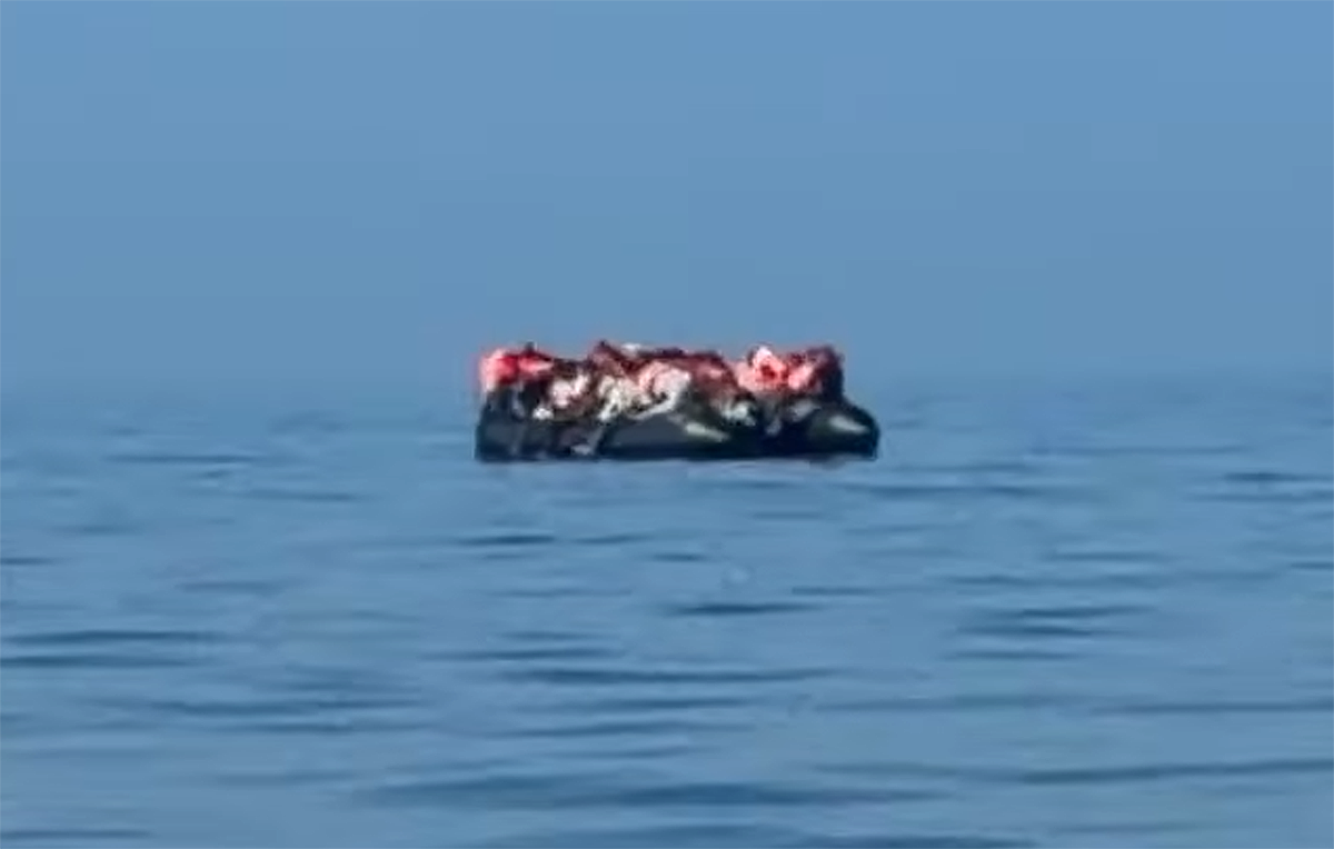
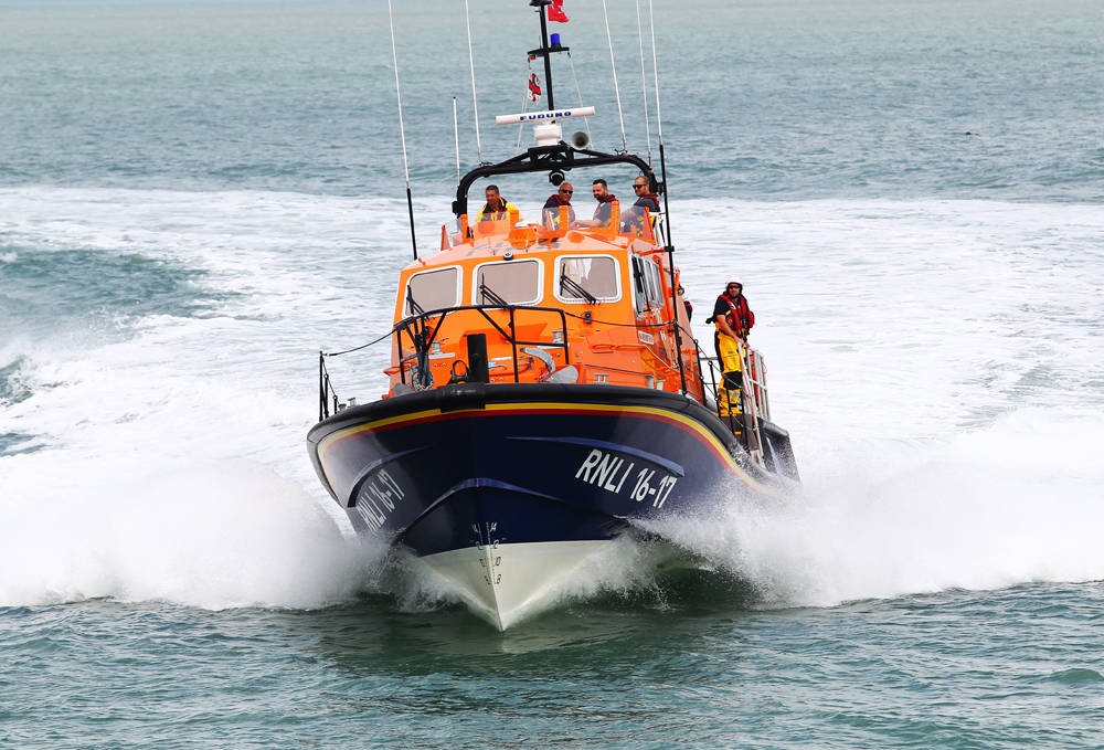
UP TO 100 MIGRANTS HEADING TOWARDS ISLE OF WIGHT AS RNLI LIFEBOATS LAUNCHED
-
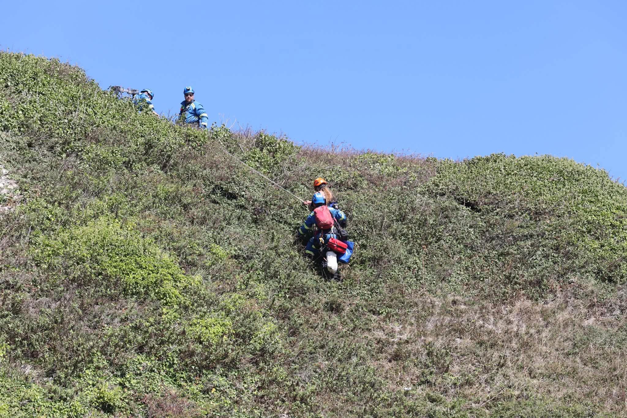
MULTI-AGENCY RESCUE OF WOMAN TRAPPED ON CLIFF AFTER ‘CRIES FOR HELP’ HEARD
-
CCTV RELEASED AFTER £400 OF TOOLS STOLEN FROM ITS TOOLS IN NEWPORT
-
3 ARRESTS AFTER MACHETE SIGHTING SPARKS ARMED POLICE OPERATION IN RYDE
-
PEDESTRIAN MOWED DOWN BY HIT AND RUN DRIVER IN SANDOWN

Useful Links
External Links

The flooding will last mostly for the rest of the week due to the high tides. Tonight will be worse than last night then it will calm down towards the weekend.
Add to that the rising sea levels and the stronger storms caused by the warmer seas. Not a good combination. Will only get worse. In a few years many properties will become no longer habitable. Very worrying.
Met Office says that the storm will pass later this afternoon and there are no flood warnings after lunch time today.
Nothing to worry about the Fire service who want more of our Council tax
money will help out.
It’s a new moon which has a massive impact on our tides, coincides with strong winds it’s not climate change