


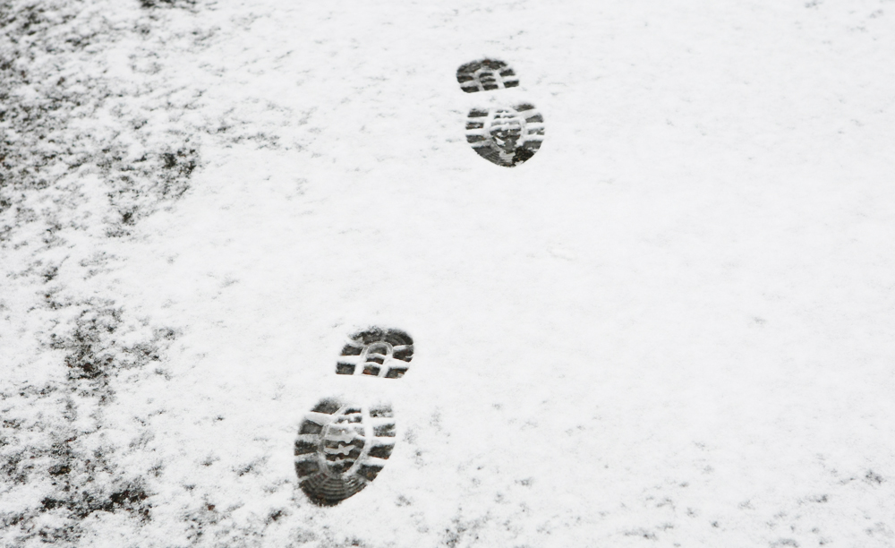

 Snow, sleet and hail could fall across the Isle of Wight later on today (Tuesday) as temperatures drop across the South.
According to IW Met Service, over the next few days colder weather will move in and as a result, the Island may well see some wintry showers.
Throughout today there will be a number of rain showers, some heavy, with the risk of hail and possibly even with some sleet mixed in. As we move towards the evening a band of heavy and somewhat more persistent rain will move through and as it does the temperature will drop significantly, leading to the risk of sleet and a little snow mixed in.


Before you get too excited, it seems unlikely there will be any snow on the ground at sea level. The highest risk of snow will be over the hills, with The Downs potentially seeing a dusting.
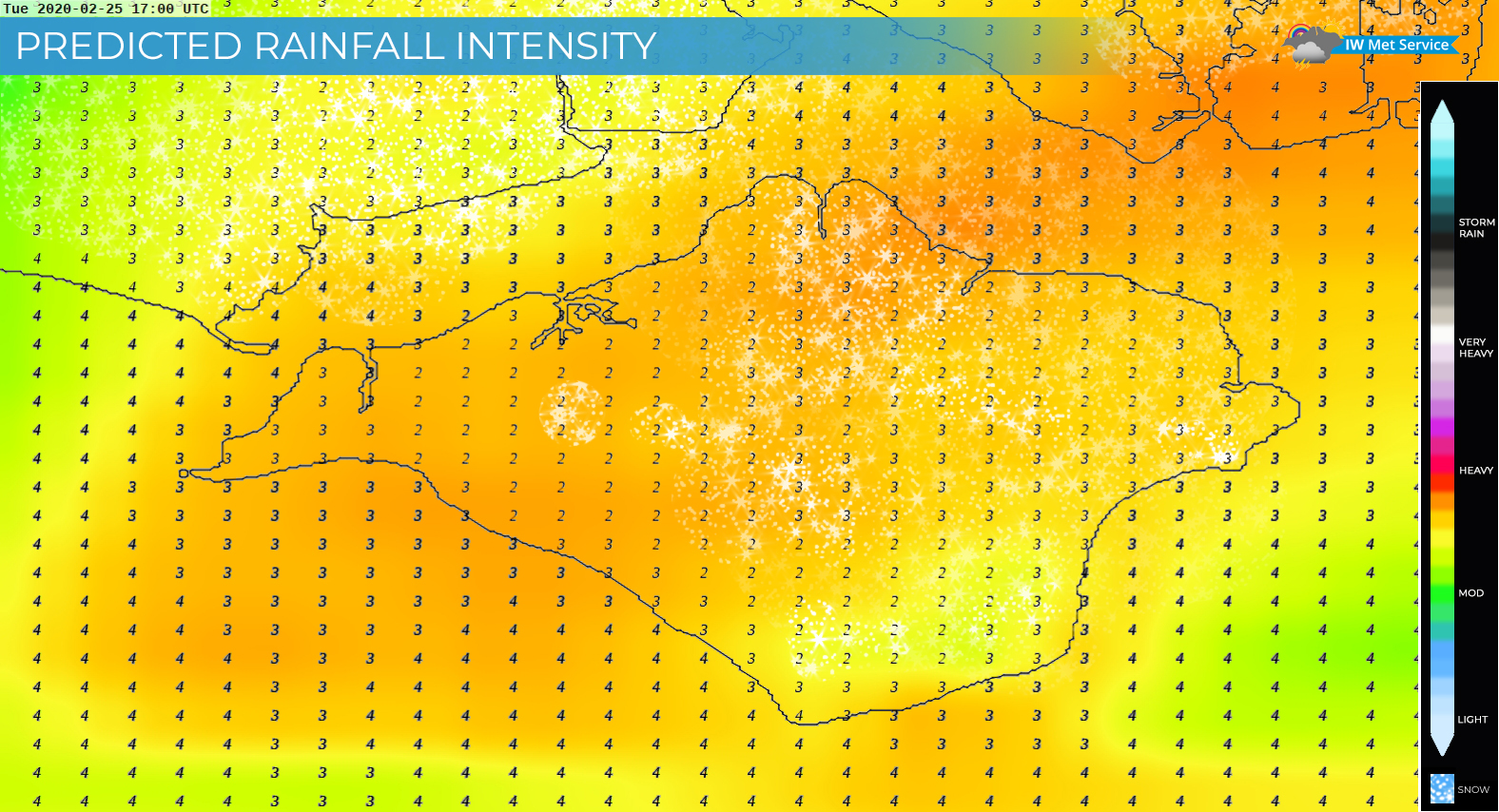
Wednesday will be a rather chilly but dry day in many parts but the odd scattered shower of rain, hail or sleet cannot be completely ruled out.
On Thursday, there is once again the risk for some rain, sleet and possible hill snow but it all depends on the exact position of a small low-pressure system.
The weekend will see another short spell of rather chilly weather which is likely to bring us wintry showers once again. Hail, sleet and snow is possible with some snow possible at lower levels during heavy downpours.
For the latest weather forecasts visit www.iwmetservice.co.uk.


So basically, normal February weather….
is this really ‘Breaking News’ ?
a little rain & a handful of snowflakes
Cos Brexit/fixed link .
wait for it….
Wightlink have cancelled sailings due to snow and ice on the access ramps and bow ramps, making it unsafe to load and disembark cars.
Northern England, Northern Ireland and Scotland. Not one single meteorological site mentions anything other than sunshine and slight showers for the Island today. None. But that doesn’t make headlines, does it. In fact, clicking on the link in the article, comes up with… “NO WARNINGS – There are currently no active warnings for the island”..
Hi Steph. We appointed IW Met Service as the official forecaster for Island Echo in December 2018 for a reason – they are able to provide forecasts and weather information on a very local scale.
As for there being no warnings… some light hail/sleet/snow is not enough to trigger a weather warning to be issued. This article is not a warning, merely an observation on the forecasted weather.
Normal weather for a February then. Nothing to see here. No ‘snow days’ for our snowflake teachers. No excuses for an unnecessary day off without fear of being fined.