


 Another yellow weather warning has been issued for the Isle of Wight as forecasters expect heavy and persistent rain to hit on Sunday and into Monday. IW Met Service says that rainfall totals of 15-20mm are likely in many areas over the next 48 hours, with as much as 25-30mm possible in some parts of the Island. This rain will fall onto already saturated ground. Islanders are being warned about the risk of rivers potentially bursting their banks, particularly the Eastern Yar. This could lead to Morton Common being closed to traffic.
 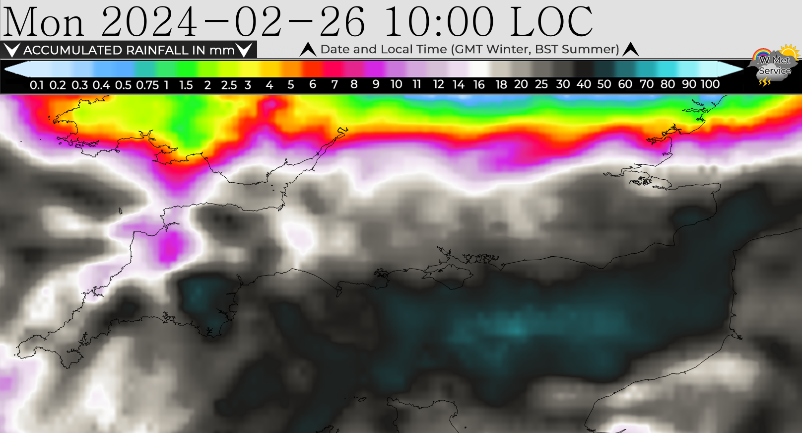 Motorists are warned that there will be surface water and spray on the roads, as well as soil, silt and gravel being washed across carriageways in more rural parts. Polluted stormwater could affect some of the Island’s beaches too. The warning is in force from 13:00 tomorrow afternoon (Sunday) through to 10:00 on Monday morning.


WARNING FOR HEAVY AND PERSISTENT RAIN ACROSS THE ISLAND ON SUNDAY AND MONDAY


Subscribe
Sign Up
Login
Login or Register
0 Comments
- Trending
- Comments
- Latest


TOP STORIES THIS WEEK
-

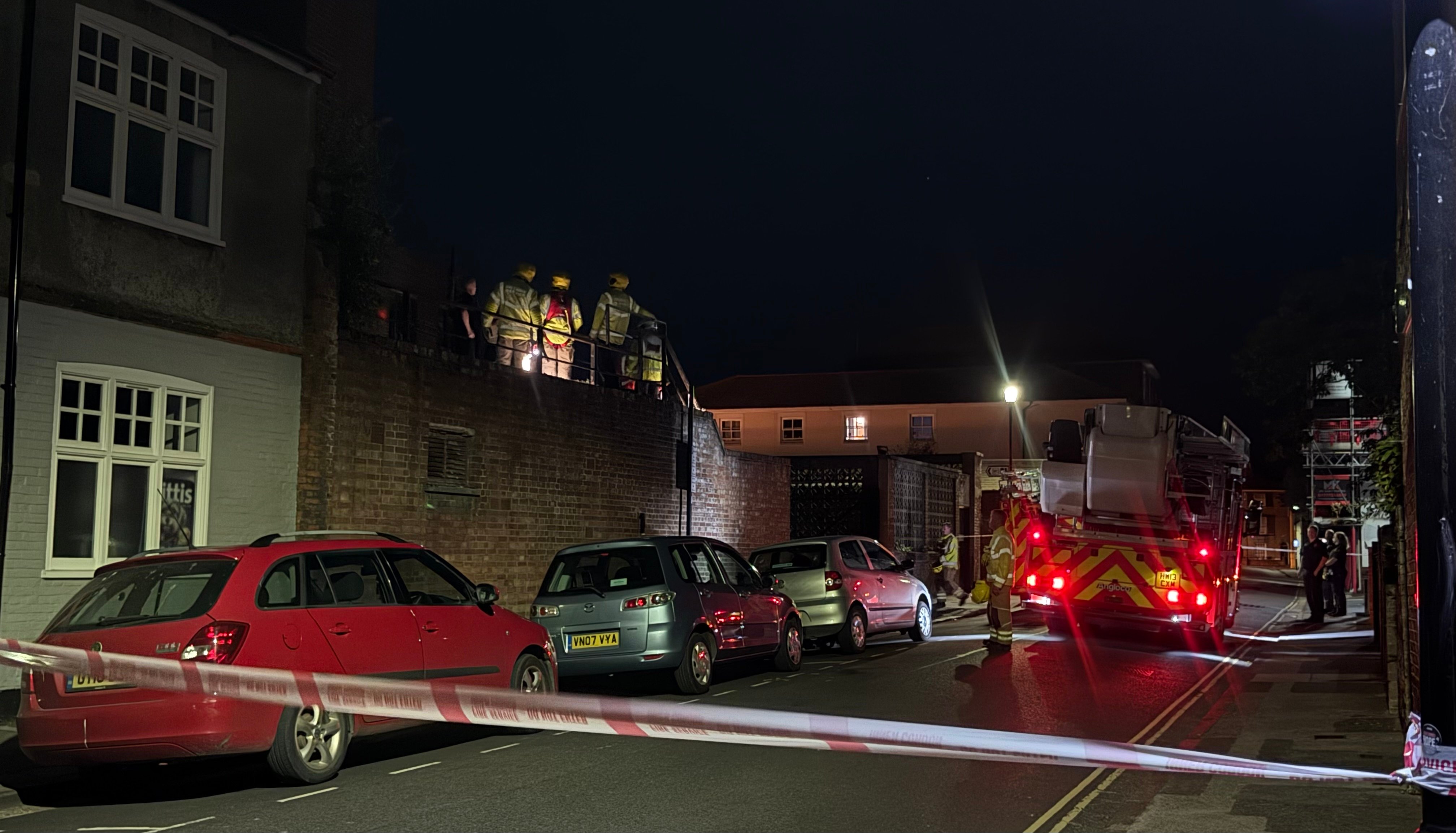
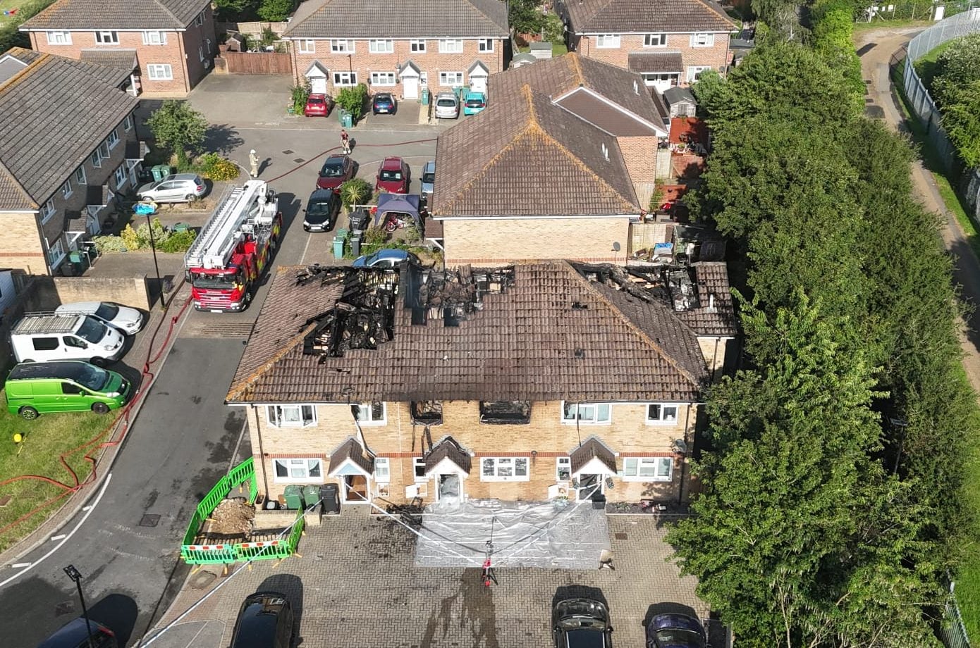
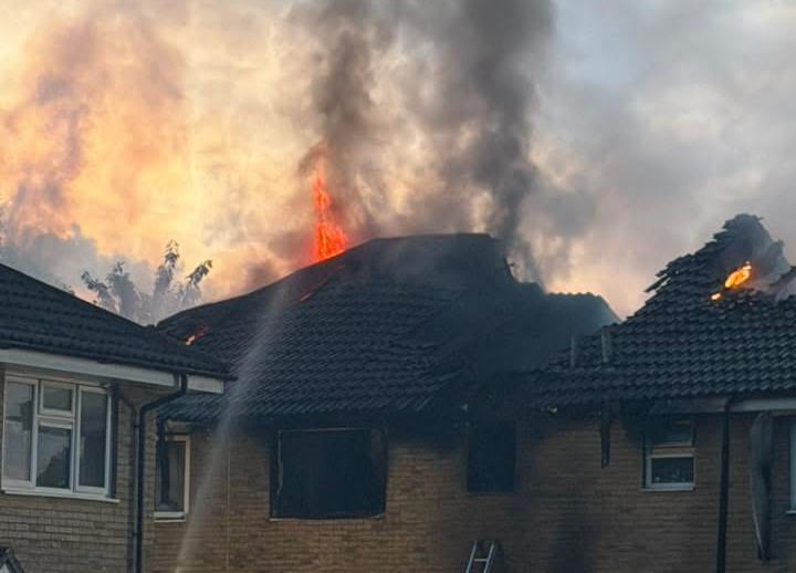
MURDER ARREST AFTER PERSON DIES IN FATAL COWES HOUSE FIRE – WITNESS APPEAL LAUNCHED
-
HIGH STREET BLOCKED AFTER TOYOTA COLLIDES WITH ELDERLY WOMAN
-
EARLY HOURS BLAZE RIPS THROUGH COWES HOME – LOCAL RESIDENTS TOLD TO KEEP WINDOWS CLOSED
-
ISLE OF WIGHT COUNCIL ISSUES SCHOOL CLOSURE UPDATE AS TEMPERATURES SOAR
-
NEWPORT GRIDLOCKED AS CRASHES FORCE CLOSURE OF FAIRLEE AND STAPLERS

Useful Links
External Links
