


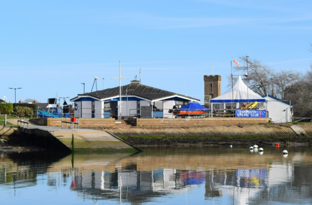


 A yellow weather warning for heavy rain – potentially up to 40mm in places – has been issued for the Isle of Wight overnight tonight (Monday) into Tuesday morning.
IW Met Service says that thundery showers with perhaps some longer spells of heavy rain will push up from the South during the early hours of tomorrow morning.
Localised torrential downpours could lead to rainfall accumulations of 20-30mm, perhaps even as high as 40mm, all falling in the space of a few hours.


Islanders should be aware of the risk of flash flooding, as well as soil and stones being washed across the roads. There is also said to be a risk of polluted stormwater potentially affecting some of the Island’s beaches where the heaviest rain falls.
The warning is in force from 01:00 until 09:00 on Tuesday 20th June.


Summers over. Nights start drawing in from the 21st June, days get shorter as darkness fall earlier each day from then, soon be getting out the Jumpers and long trousers again for the long dark cold Winter months till next May
Wow bag of fun you must be
You must live on the north island, we don’t do that here.
Well said squire. Back to reality.
Thats incorrect! We said there would be thundery showers on Sunday morning and we did in fact have thundery showers early in the morning! We also said there would be rain or showers in the afternoon that could be heavy and indeed it did fall heavy for a time. The forecast was actually spot on! Yes the exact rainfall amounts and exact timings were almost impossible to predict, but we did get it correct.
There was even photos taken of the lightning early Sunday morning!
Not at any point did we say the Weekend would be a washout as Sunday was the only day that we predicted rain for.
bit of drizzle in totland still had to water plants , no weather warnings on bbc forcast light drizzle , as they were right yesturday i may listen to them
Can’t beat netweather for a most accurate forecast for your area.
Your talking crap mate! Jamie (Forecaster) Said a risk of thunder is likely and it was as forecasted by him on Friday night into Saturday morning. So, I’d get your facts right if I was you.
Well sorry we did get a storm this morning,but Saturday/Sunday we didn’t have any thunder South and only drizzle, not enough even for pudding on road and I was outside all day. Well anyhow it’s good we had enough for garden and water butt’s.
Where’s the storm then? Did I blink and miss it? Still waiting for the one that was going to happen Sunday and didn’t.
There was a storm last night, there was localised flooding along with plenty of lightning!
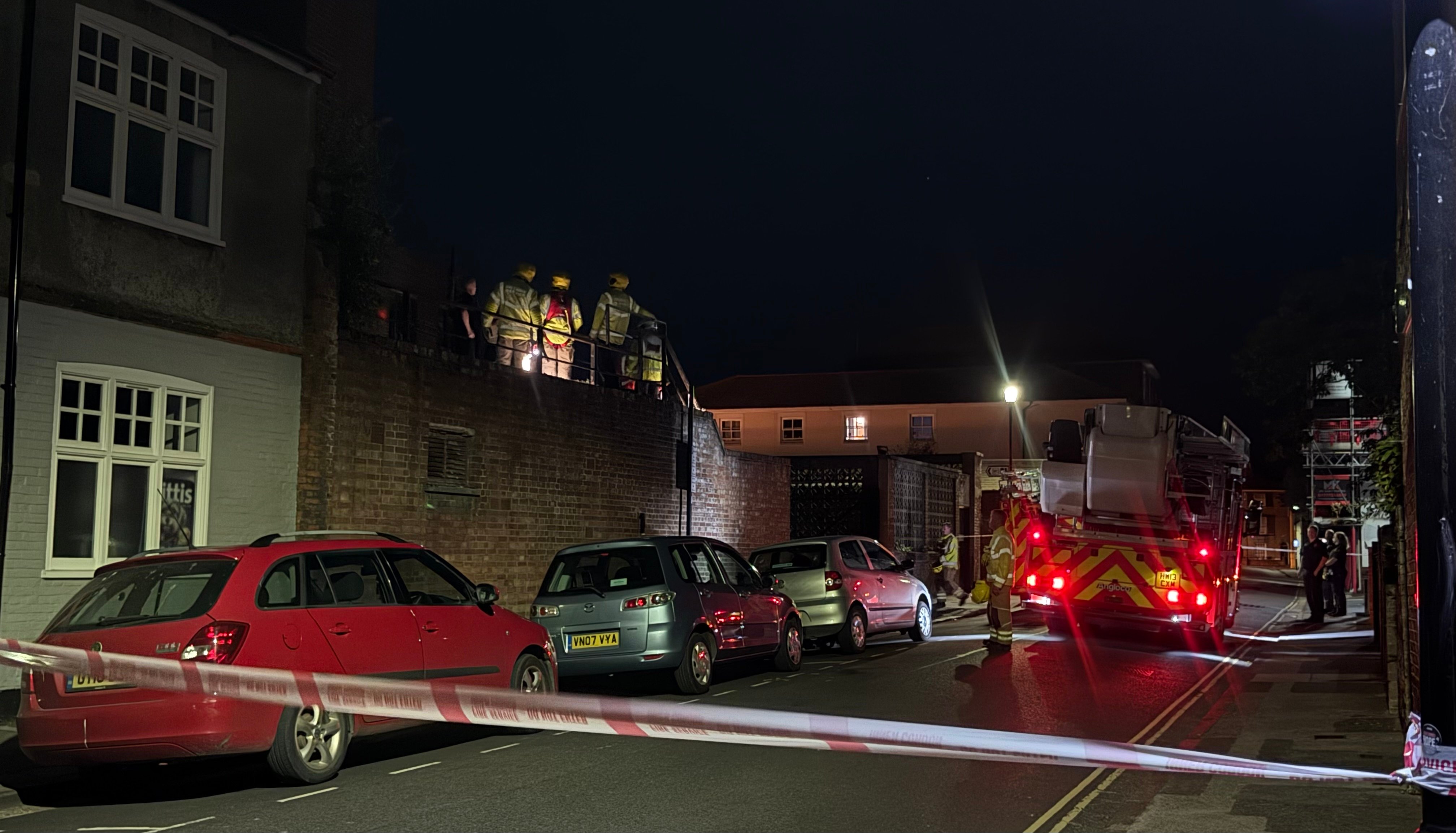
As for the previous “Storm” It DID happen on Sunday, there was plenty of lightning about during the early morning and a couple of torrential downpours! However at IW Met we didn’t predict storms on Sunday, we said thundery showers which means heavy showers with the risk of thunder for Saturday night followed by spells of showery rain for the afternoon, which also happened! It was the UK Met Office that had a warning out for thunderstorms on Sunday, IW Met had no warning though as we deemed the conditions to be not severe enough to issue one. A small clip of last nights storm can be found here https://fb.watch/lh7_cz3T7k/
Hardly a storm in South, little bit thunder around 3am and enough rain to top up water butt,all dried up now sun back out .
Why the thumbs down? for contributing a useful bit of information. Oh I know, its just another shiny red button to press!