


 An amber weather warning for heavy rain has been issued for the Isle of Wight with immediate effect as some 50mm of rainfall is expected over the next 2 to 4 hours.
Forecasters at IW Met Service say that a large area of heavy, thundery showers is now affecting some parts of the Isle of Wight.
Between now and the early hours of Sunday morning, rainfall totals could be in excess of 50mm locally – with hail and gusty winds an additional risk. This has led to a previously issued yellow weather warning being upgraded to amber.


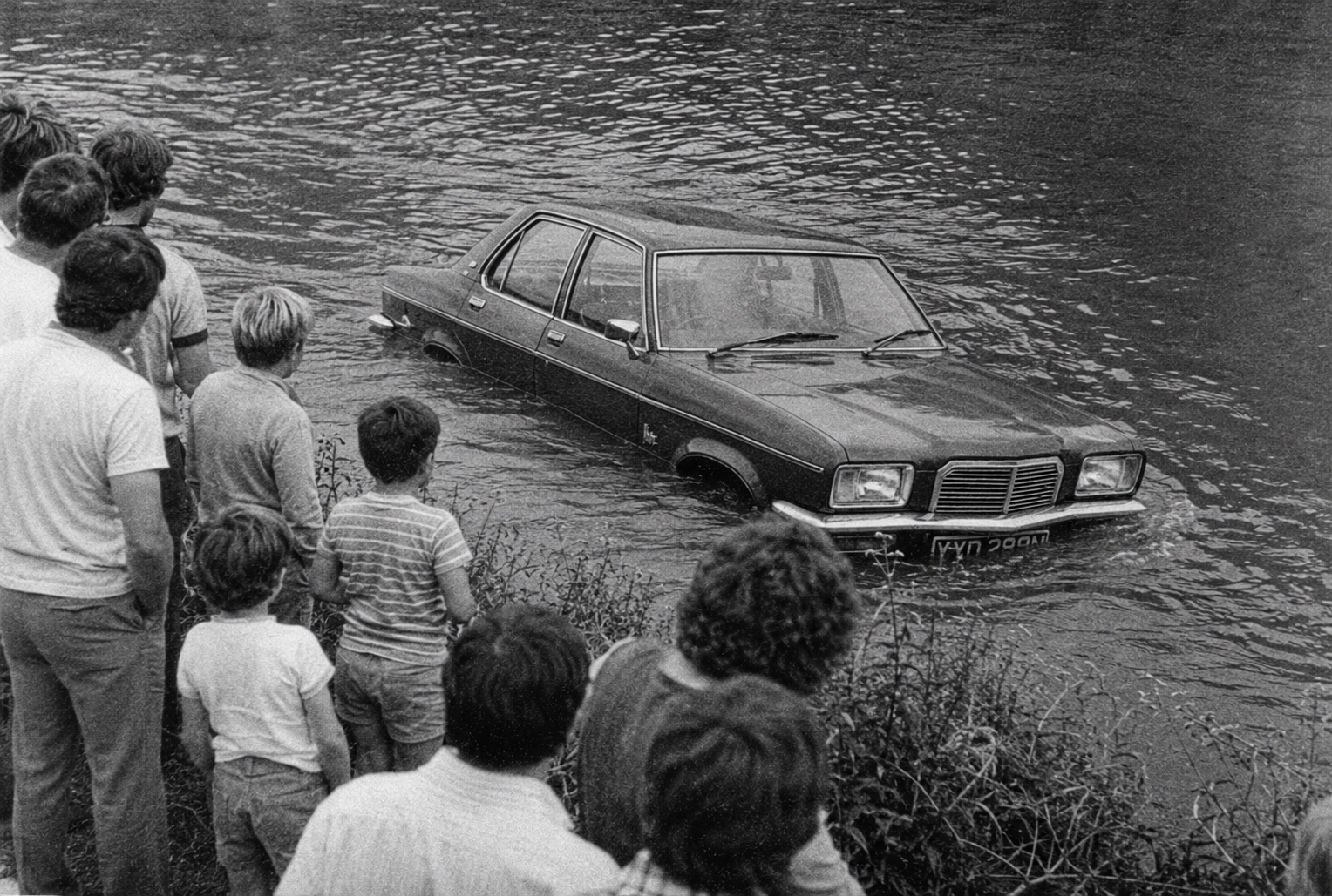
It’s said that in some areas the overall amount of rain could be even higher, putting more strain on the Island’s watercourses and infrastructure. It comes at a time when the Island is seeing some of the highest tides of the year.
Lightning strikes could be an additional hazard at times and there is a risk of tornados/waterspouts – with 1 already experienced in Littlehampton tonight.
There are currently flood warnings in place for the Eastern Yar and the River Medina at Cowes, East Cowes and Newport. A flood alert is in force for the Isle of Wight coast.
Islanders should prepare any flood defences and be mindful of rivers breaching their banks overnight.
Motorists should take additional care on the roads and be aware of sudden flash flooding, sudden and severe wind gusts and debris across the carriageway.


The affected area is only to the west of Wootton and has since been cancelled.
But, hey, why let facts get in the way of a good story, eh?
It’s still raining you numpty!! We’re in for heavy weather and potentially more flooding obviously :/
Please tell St Mary’s Hospital to announce when flooding is affecting car parks and roads as visitors could be really caught out and surely it is a Civic duty to do this.