


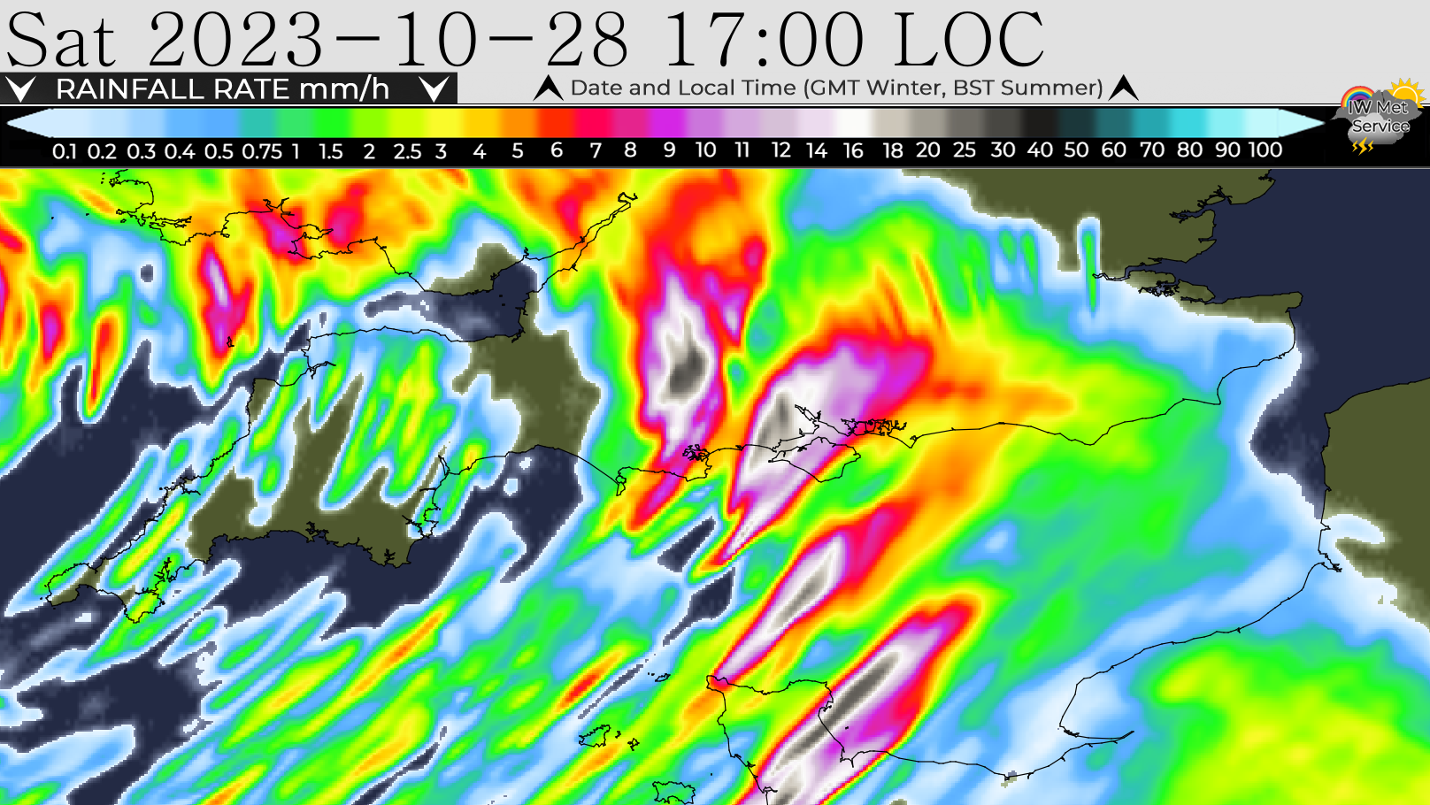
 It is set to be a very wet and windy weekend across the Isle of Wight according to forecasters, with a further 60mm of rainfall expected alongside winds of up to 80mph – prompting another yellow weather warning.
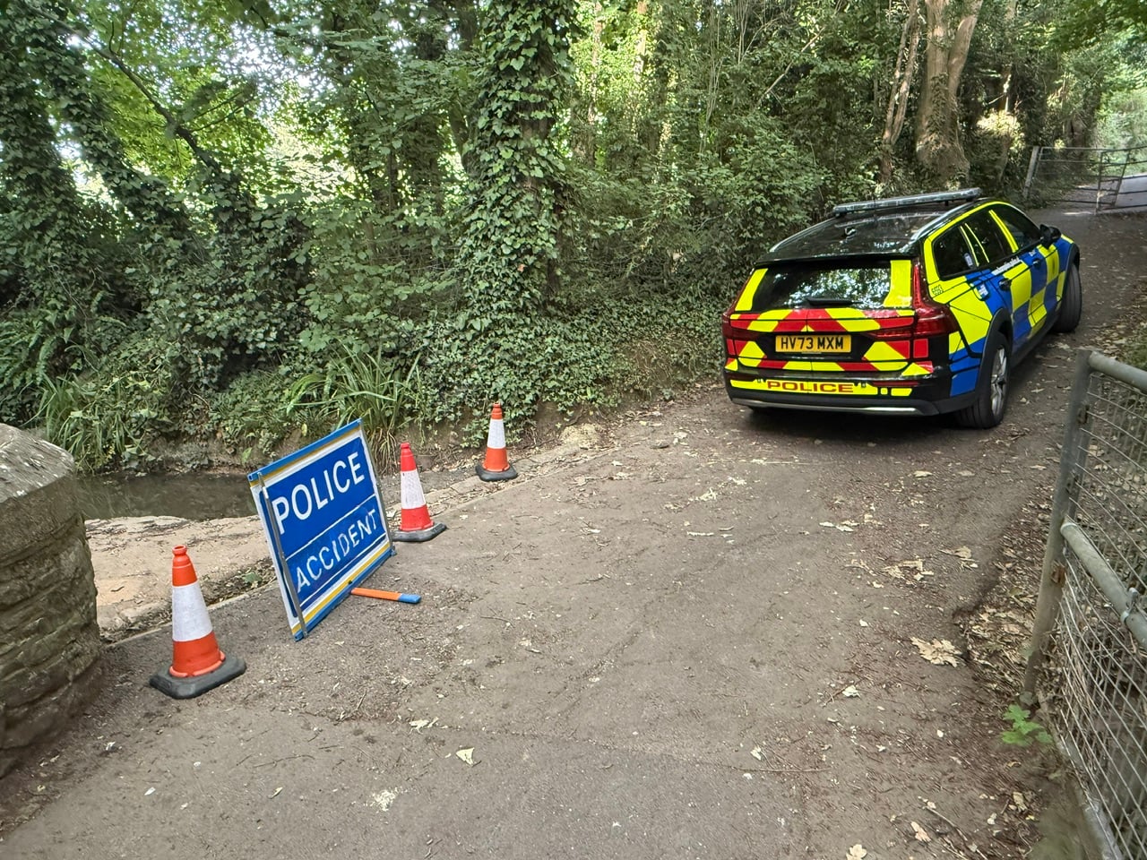
Earlier this week the Island was hit by flash flooding and although things have improved over the past day or so, this weekend is set to see further rainfall of around 60mm – which will only add to the already swollen rivers, especially the Eastern Yar, Lukely Brook and Monktonmead Brook.
It is very much a case of first the rain, now the wind as 70-80mph gales are expected to accompany the torrential downpours over the next 48 hours.


According to IW Met Service, heavy, thundery and squally downpours will move in from the Channel during the second half of Saturday afternoon and will then continue on and off through the evening and into the night. This next weather front could potentially see the heaviest rain falling over a short space of time.
Accompanying the downpours will be some very gusty winds, perhaps gusting as high as 70-80mph around the heaviest downpours. Overall the wind is likely to be around 40-50mph.
The warning is valid from 14:00 tomorrow until 09:00 on Sunday.
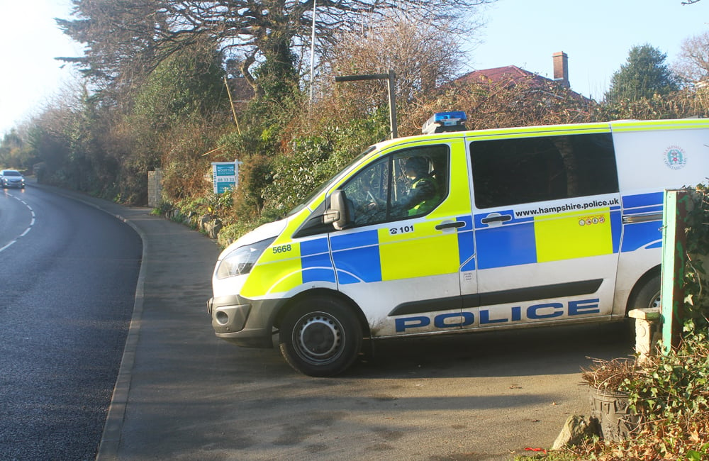
Islanders are being urged to be mindful of sudden and severe wind gusts in exposed areas such as coastal roads and over high ground, as well as sudden flash flooding on the roads. Spray and surface water will be a problem Island-wide.
Those living near rivers should be aware of the potential for breaching of banks leading to property flooding.

Lightning strikes could be an additional hazard at times.
Jamie Russell, Chief Forecaster at IW Met Service, says:
“It should be noted that the conditions will be very localised, meaning that the worst of the weather could potentially just clip the Island, however, if we do see a direct hit, the conditions will likely be severe”.
A flood alert is currently in force for the Isle of Wight coast, with higher-than-normal tides expected over the coming days.
A more serious flood warning is active for the Eastern Yar – from Whitwell to Bembridge. Property owners in Sandown, Brading and Bembridge are the latest to be told to take action.


Hopefully, if we’ve learned anything from this week it’s don’t drive through a body of water that can swamp your car. Waterlogged electrics are one thing, but a a hydrolocked engine is game over for your car (unless you can afford a complete overhaul anyway)
Please take care out there whatever happens
And check your car insurance for avoidable flood damage as opposed to unavoidable flood damage
People really need to learn where their air intake is
It was windy yesterday afternoon
I knew I should not have had those Baked Beans
New flood warnings in place. What is being done to avoid more flooding? Not an awful lot by the looks of the drain covers in Brading covered up in leaves. They are always covered in leaves from the large trees opposite the car park
Anyone seen these big yellow council drain cleaning machines in action prior to the floods, does the island actually possess one, if they do why is not running 24 hours a day.
Sensationalist cobblers. Winds gusting to force 6 at worst
Tell that to the people that have already been flooded