


 UPDATED: A flood alert has been issued for the Eastern Yar and Gurnard Luck this evening (Monday) as the adverse weather forecast for the Isle of Wight moves in.
According to the Environment Agency, 10mm of rain has already fallen in the last 6 hours and levels in the Eastern Yar and Gurnard Luck are beginning to rise. Heavy rain will continue to affect the Eastern Yar area overnight with at least another 15mm of rain expected before early morning.
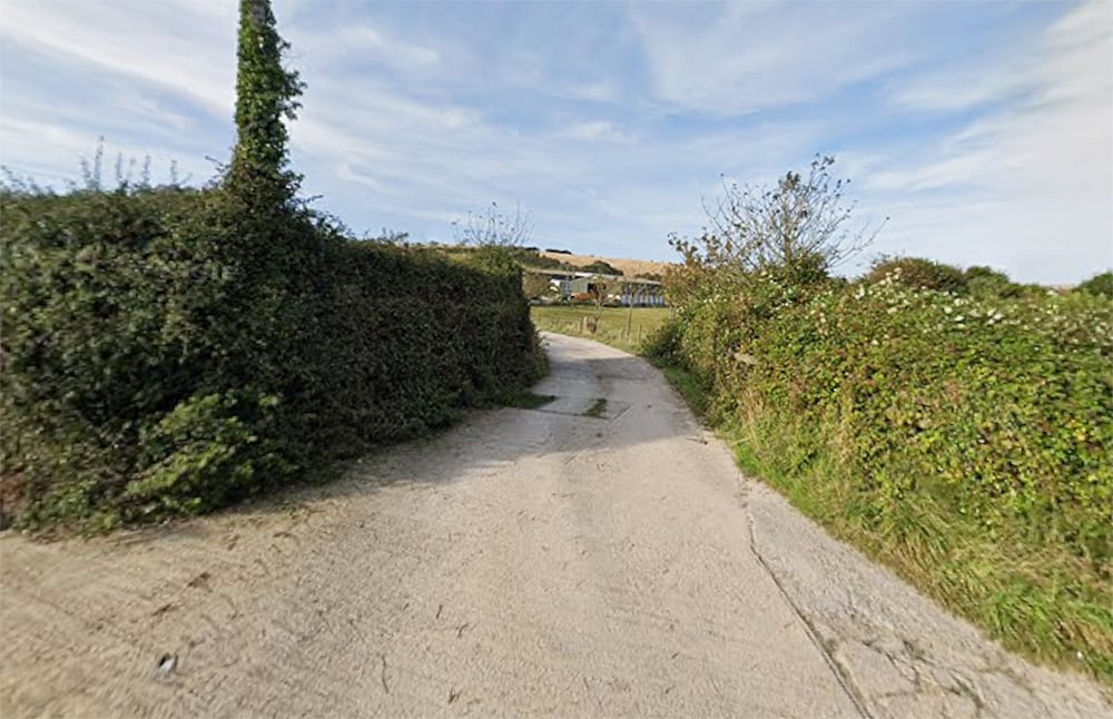
Given the current rate of rise, it is expected that the river will be high in the upper reaches from 04:00 tomorrow morning (Tuesday) onwards. There will be out of bank flooding affecting fields and access tracks especially in the Upper Eastern Yar at Horringford , Alverstone and Golf Links Road.


The EA are also warning that Morton Common Road in Sandown might also be affected, although any impacts on the main through route would not be expected until late tomorrow afternoon or early evening.
Meanwhile, high tide at Cowes is due at 04:20 tomorrow morning when water in the river at Gurnard Luck will be held up for at least 1.5 hours over the high tide period. Gardens of low lying property next to the river at Marsh Road, Gurnard may be affected during the high tide period. Impacts will be similar to those experienced last Thursday.
 UPDATE TUESDAY @ 16:35 – A flood warning has been issued by the Environment Agency for the Langbridge, Newchurch and Alverstone areas of Sandown this evening.
Following the heavy rainfall overnight, levels in the Eastern Yar at Alverstone are still rising according to the Environment Agency. The rate of rise has now slowed and should peak in the next couple of hours. Water will back up at Alvertsone Road bridge, which may impact Station House.
Further significant heavy rainfall is forecast from Wednesday night through into Thursday with water levels unable to recover before the next band of rain is expected.

Residents living in the area, which ranges from Arreton through to Sandown, are being warned that they should prepare for property flooding until the weekend with water levels on Thursday and Friday likely to be exceptionally high.
Stay connected with Island Echo for all the latest news and information throughout the adverse weather. It is likely our adverse weather live updates will commence tomorrow morning.