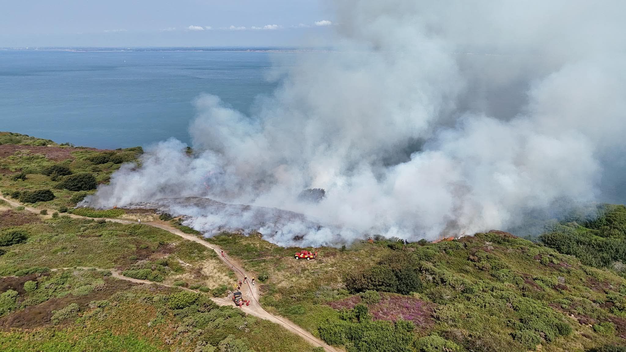


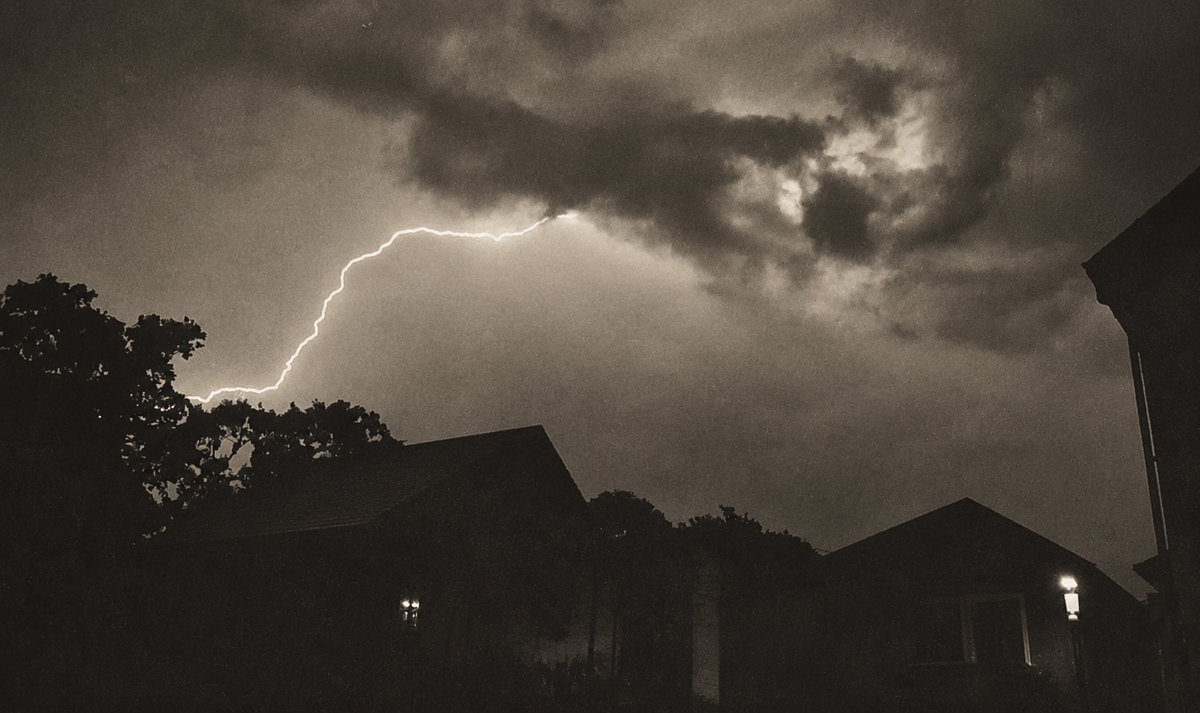


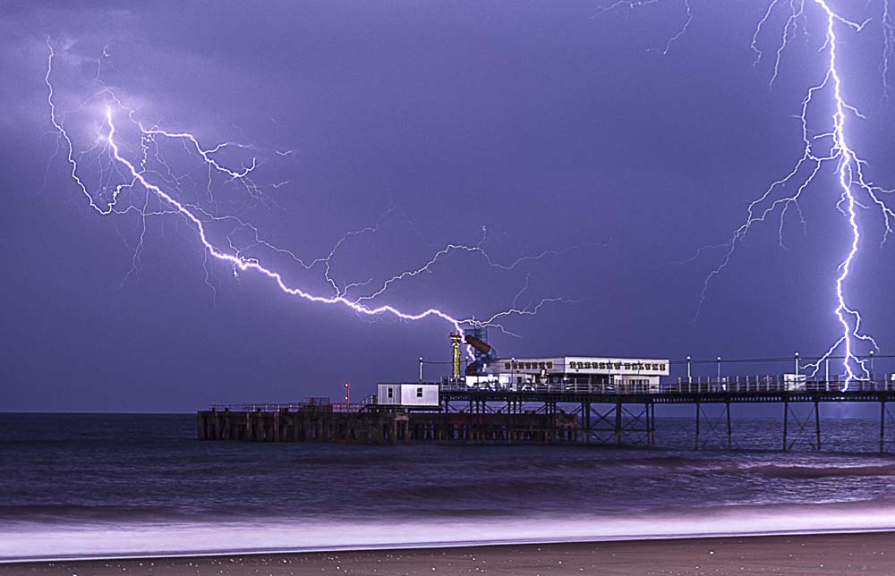

The IW Met Service has issued a yellow weather warning for heavy rain and thunderstorms, which is set to come into force this evening (Friday).
Islanders are warned to expect heavy showers with a strong chance of thunderstorms from 22:00, lasting until 09:00 tomorrow.
The IW Met Service has issued the following forecast:


“A developing area of heavy showers and thunderstorms will push northwards from the English Channel later this evening and overnight. Torrential downpours are expected in places along with embedded thunderstorms, possibly even the risk of hail mixed in with the heaviest downpours.”
Some places may escape with little rainfall whereas other areas could see up to 30mm falling in an hour. Strong wind gusts of 50-60mph are also possible around the heaviest downpours.
Forecasters are warning about the risk of localised flash flooding along with potential wind damage, especially to outdoor furniture.
Falling tree debris such as leaves, twigs and small branches are likely in places, possibly even a few downed trees if the Isle of Wight has a direct impact from one of the storms.