


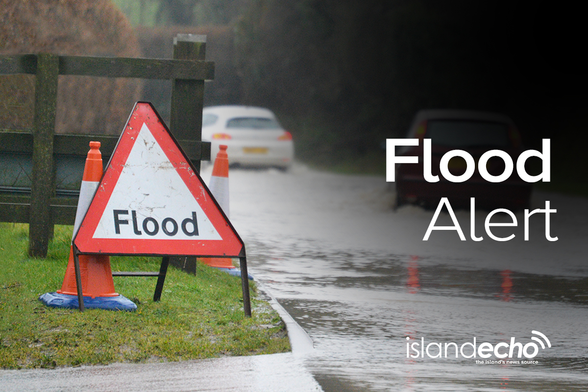
An urgent flood warning has been issued for the Lukely Brook in Newport this morning (Wednesday) – with a flood alert also issued for Ryde – following intense rainfall in the past few hours, with local residents urged to take immediate action.
The water level in the Lukely Brook between Carisbrooke and Newport is said to be high and rising after some 30mm of rainfall, the majority of which has fallen in the past hour.
From around 04:15 property at the bottom of Castle Street could flood from rising river levels and surface water flowing down the road. The Aquatics Centre at Vicarage Walk near Foxes Road will also flood. Water levels will be very high at Caesars Road and Old Westminster Lane, and the river could come out of bank, flooding roads and parked cars.


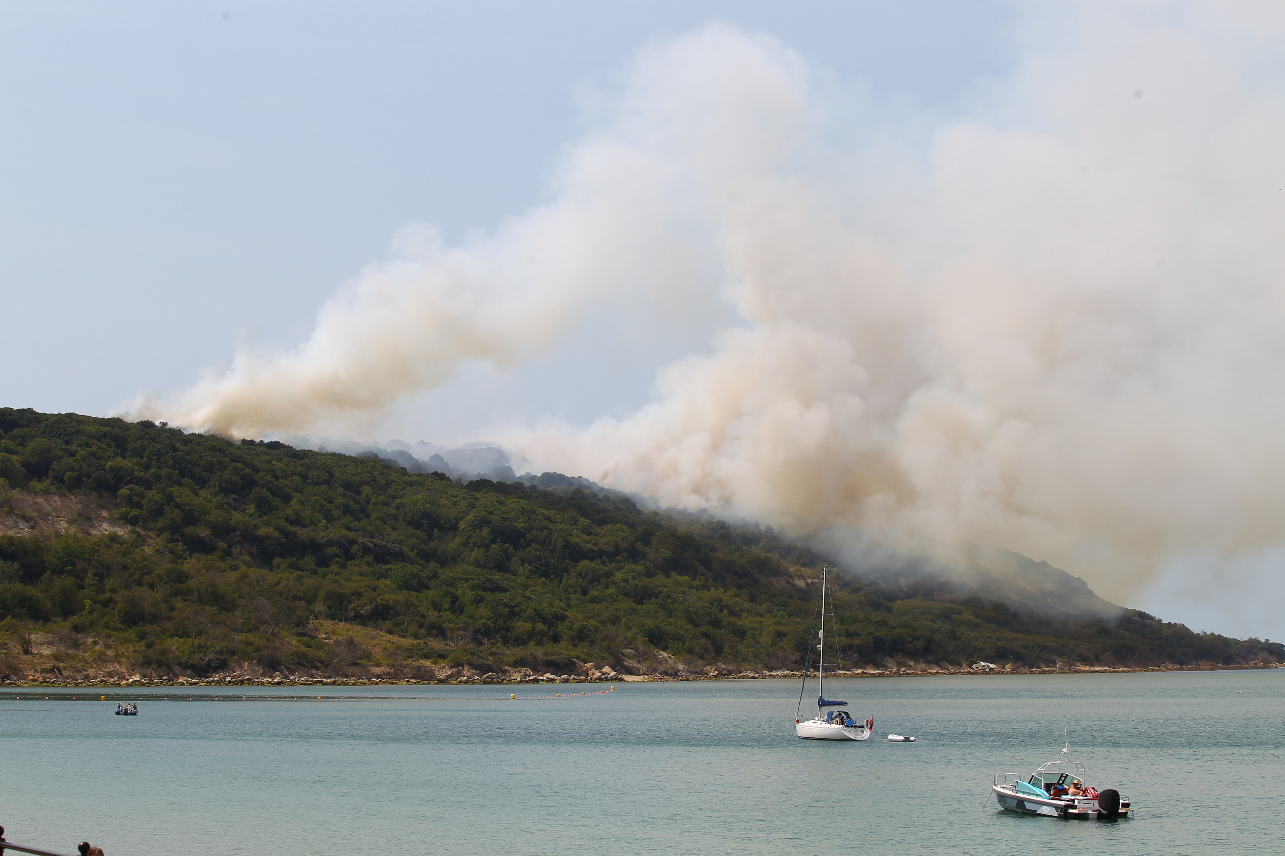
Island Echo is told that Gunville is already starting to flood.
Further heavy rain is forecast over the next 4 hours which will cause the river to rise until at least 10:00 this morning.
In Ryde, a lesser flood alert has been issued for the St John’s area around the Monktonmead Brook.
From 04:30, water will begin to flow across the railway tracks which may prompt a flood warning for the area. The river will continue to rise until approximately 10:00.
A yellow weather warning for heavy rain remains in force until 07:00.

The Environment Agency says that contractors are out in Ryde and Newport now, making sure the rivers are kept free of blockages.
If you have it, you are urged to install flood protection now.
UPDATE @ 04:32 – A flood alert has now also been issued for the River Medina.
From 04:45, the Environment Agency warns that out of bank flooding will affect land, gardens and possibly roads at Blackwater, especially at Blackwater Hollow on the A3020 near the Mill Farm, and at Sandy Lane. By 05:30, the river will become very high at St George’s Way, Shide.
 UPDATE @ 05:37 – With the rainfall significantly easing, and in some locations stopping, water levels on the Lukely Brook are now falling.
It is an improving picture at Gunville, although any further rainfall in the coming hours will add stress to the already under-pressure river.
On the roads, there is notable flooding on Binstead Road, Ryde; Whippingham Road, East Cowes; Fairlee Road, Newport and Forest Road, Newport.
UPDATE @ 06:55 – A third flood alert has been issued, this time for the Eastern Yar.
It’s said that the river will impact cycle and access tracks across the Yar Valley including at Horringford. From 16:00 this afternoon, at Langbridge and Alverstone Road Bridge, the river will be close to the top of the riverbank, and flooding of Golf Links Road and Moreton Common Road at Sandown is also expected.
At Alverstone, the river will continue to rise until at least 19:00 and at Sandown until 07:00 tomorrow.
UPDATE @ 10:13 – A second flood warning has been issued, this time for the Eastern Yar. Read more at https://www.islandecho.co.uk/another-flood-warning-for-the-isle-of-wight-with-yar-valley-under-threat/.
A flood alert has now also been issued for Gurnard Luck. From 11:00, properties situated nearest to the river in Marsh Road will experience garden flooding. Property flooding is not expected.


The island is falling apart, yet they still want to
keep building new properties on this crumbling
island.
Makes me laugh!.
Did the useless council clean out any streams from last year ??? NO is the answer to that the stream at gunville by ash lane lane full of crap trees and rubbish f all been done to clear it out from last year so only to happen again..