


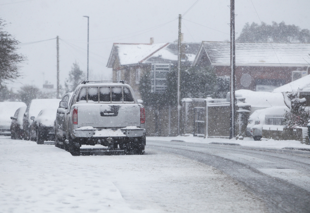

Forecasters are predicting that snow could fall across the Isle of Wight tomorrow morning (Sunday) – but the situation has been described as a ‘forecaster’s worst nightmare’.
According to IW Met Service, latest weather models show that the Island will see the white stuff falling from around 07:00 tomorrow, but will turn to rain by 09:00.
It all depends on the position of the low pressure over the Island – the further south into the English Channel it is, the more likely we are to have snow.


Latest data shows that central and northern parts of the Island are the most likely areas to see snowfall tomorrow, alongside high ground in the South. However, this is unlikely to accumulate.
If the low pressure suddenly moves further south then the Isle of Wight could be under a few centimetres of snow as households wake up on Sunday morning. It’s what has been called a ‘borderline event’.
Jamie Russell, Chief Forecaster at IW Met Service, says:
“The next 12 to 18 hours are going to be a forecaster’s absolute worse nightmare. We have got a very very borderline event developing for tomorrow morning – this is a transition between rain and snow. Where exactly this transition takes place is where the heavier snow will fall.
“If snow doesn’t fall tomorrow attentions will certainly turn to the initial hints of much colder weather in the first or second week of February”.
Article continues below this advertisement

You can watch a detailed forecast and explanation of the situation below…


looks like more rain then
This is snow joke…. Its gona be whiter than dot cottons whites.
(for 4 minutes)
Then it’s back to the curse named island of rain rain rain
IW MET services haha. must be based in Scotland
I am sitting in bright sunshine here on the Isle of Wight on Sunday morning. It is spelt Wight not White, Met forecasters please note.