


With heavy rain forecast this evening (Tuesday) and into tomorrow morning, the Isle of Wight Council is encouraging residents to prepare for possible isolated flooding on the Island.
The Met Office has issued a yellow weather warning valid from 04:00 until 12:00 tomorrow. However, Island Echo’s official forecasters, IW Met Service, have not yet issued a warning.
A band of showers, locally heavy, with thunderstorms, could hit the Island as early as 21:00 this evening according to some local forecasts.


Residents are being warned the Island could see hail and strong winds with gusts of up to 50mph, leading to possible travel disruption, isolated power outages and isolated flooding of homes and businesses.
Sunny spells and isolated showers are forecast for much of tomorrow, with the possible return of heavy rain by late afternoon before clearing by Thursday.
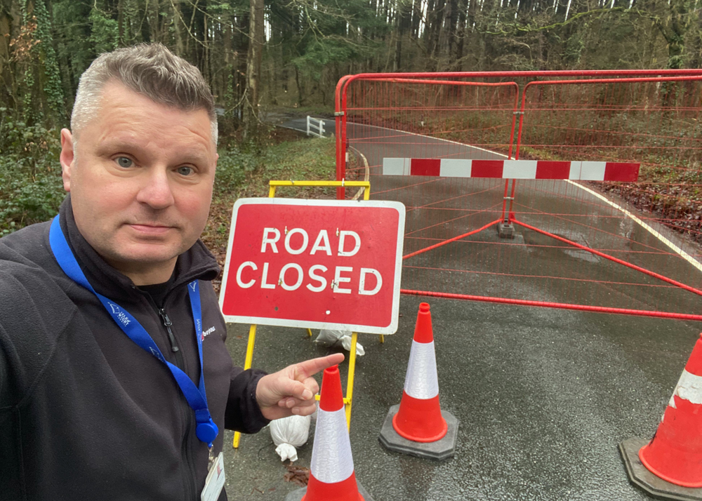
Island Roads are currently ensuring the strategic sandbag locations are fully stocked and accessible to the public should the need arise.
For further advice on preparing for a flood, what to do during and after a flood including key contact numbers and details of the strategic sandbag locations, visit https://www.iow.gov.uk/Council/OtherServices/Emergency-Management/Adverse-Weather-and-Flooding