


 The Island’s MP, Andrew Turner, has today (Wednesday) welcomed confirmation that 28 of the Island’s 39 electoral divisions have been included in the Assisted Area Status map which will now go forward to the European Commission for final approval.
Should the final approval be given the map will take effect in just two months time, from 1st July this year. The status will give local businesses the opportunity to bid for additional funding and tax breaks in order to protect and create jobs and invest in new premises or equipment in order to expand.
The good news comes after a concerted campaign following a meeting with Business Minister, the Rt. Hon. Michael Fallon MP last year with the Island’s MP, leader of the Isle of Wight Council Cllr Ian Stephens and Cllr Harry Rees representing IWALC (the IW Association of Local Councils at town and parish level). At the meeting the three representatives outlined the Island’s case for inclusion in the new map which will be in place for the next seven years.


Mr Turner welcomed today’s news, saying;
“This is very much the result of all parties working together for the good of the Island. One of the very first issues Ian raised with me as Council leader was that although time was short he wanted to bid for Assisted Area Status, and that he was keen to work with me and others on a cross-party basis to achieve this. I organised the meeting with the Minister so that we could talk frankly about the challenges the Island faces as well as the opportunities we have. Written representations are important of course, but it was clear both during the meeting and from subsequent conversations that our discussions clarified to the Minister that the Island really should be included in the new map.
“I’d like to pay tribute to Ian’s approach and to Harry’s encyclopaedic knowledge of EU regulations. There are of course others who have played an important part, the Trades Unions on the Island, the Solent Local Enterprise Partnership, the Chamber of Commerce and many others who have contributed to achieving this success. This is a real opportunity for growth on the Island – but it won’t just happen; Island businesses and entrepreneurs need to come up with plans that will bring jobs and growth to the local economy. I will now be working with the Council and the Government to ensure that information is made available about how businesses can access the help and capital that will become available through this announcement. It will include access to regional aid such as the Regional Growth Fund and the Advanced Manufacturing Supply Chain Initiative.”
Speaking about the fact that the whole Island is not included in the map Mr Turner commented:
“We all tried to get the whole Island included; after the draft map was published I submitted a paper, as did the Council and IWALC. However areas are included on the basis of economic opportunity as well as need; it is obvious that there is more opportunity for jobs, in greater numbers, in some areas than others. Indeed there would be an outcry if somebody suggested building a factory in the middle of our most beautiful countryside – regardless of whether it brought jobs. However, everybody living on the Island will be able to benefit from this announcement. Just because you live in Ventnor, for example it doesn’t mean you can’t get to a newly created job in Newport! Whilst it is a disappointment, it shouldn’t take the shine off of what is a considerable achievement on the Island’s journey to better economic times.”
Article continues below this advertisement

Electrorial divisions included in the map are:
- Binstead and Fishbourne
- Brading, St Helens and Bembridge
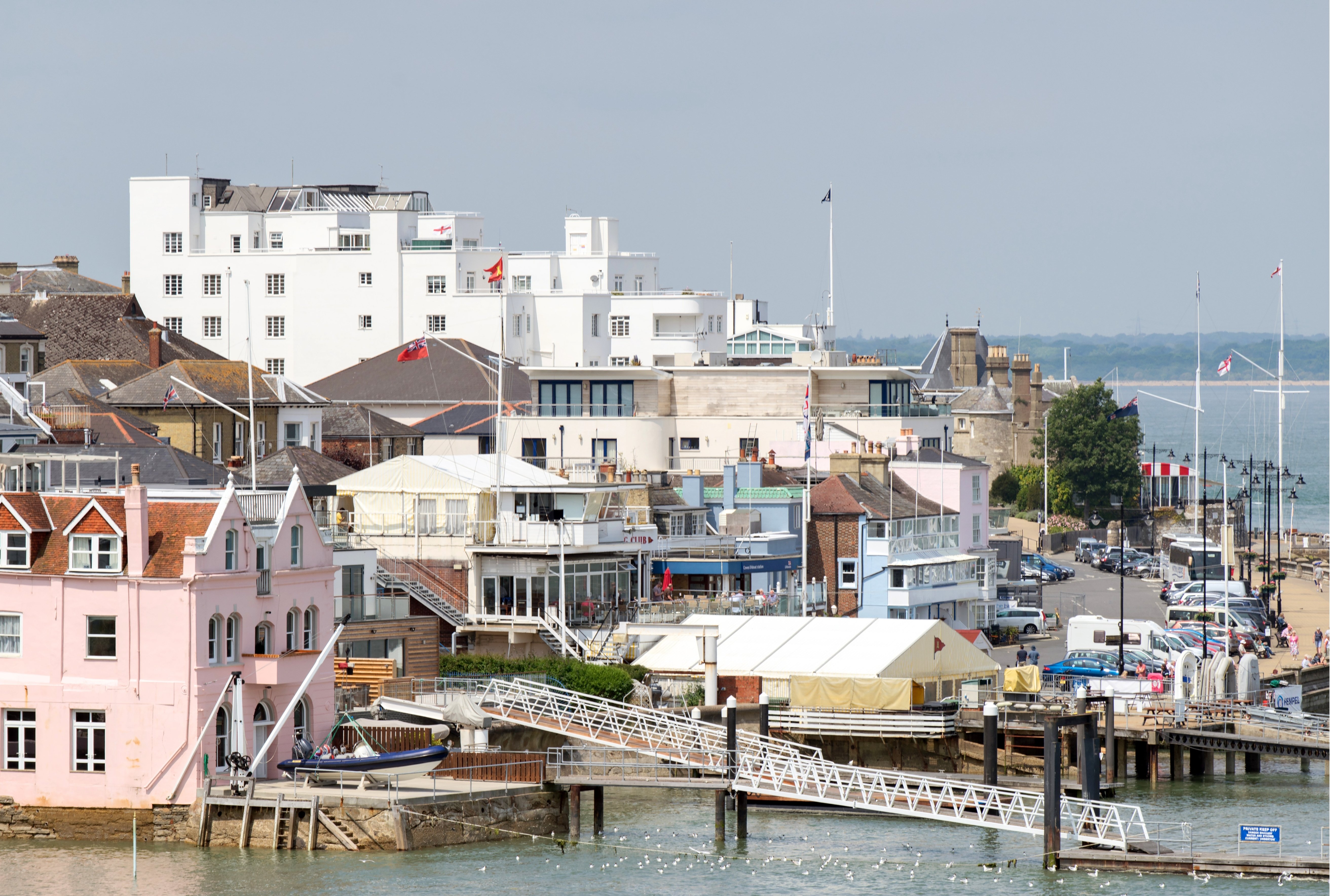
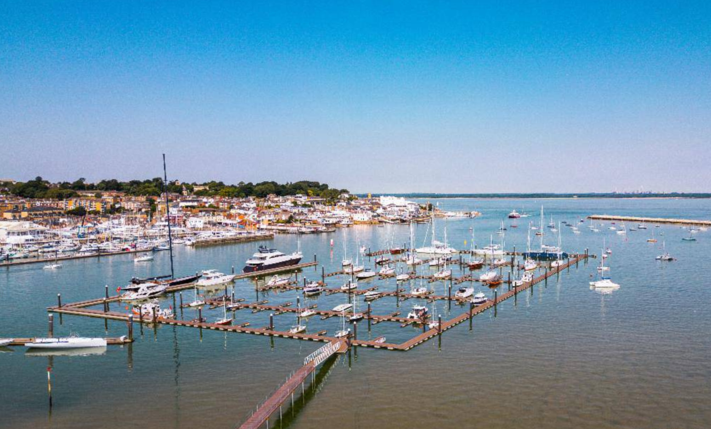
- Cowes – Medina, North, South and Northwood, West and Gurnard
- East Cowes
- Freshwater North
- Havenstreet, Ashey and Haylands
- Lake – North, South
- Nettlestone and Seaview
- Newport – Central, East, North, South, West
- Parkhurst
- Ryde – East, North East, North West, South, West
- Sandown – North, South
- West Wight
- Whippingham and Osborne
- Wootton Bridge