






























































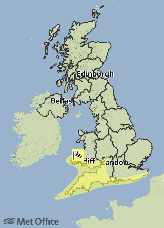
 UPDATED: The Met Office have issued a yellow weather warning for a spell of unseasonably strong southwesterly winds, accompanied by heavy rain showers that are expected to develop across the South on Friday before peaking during Saturday daytime.
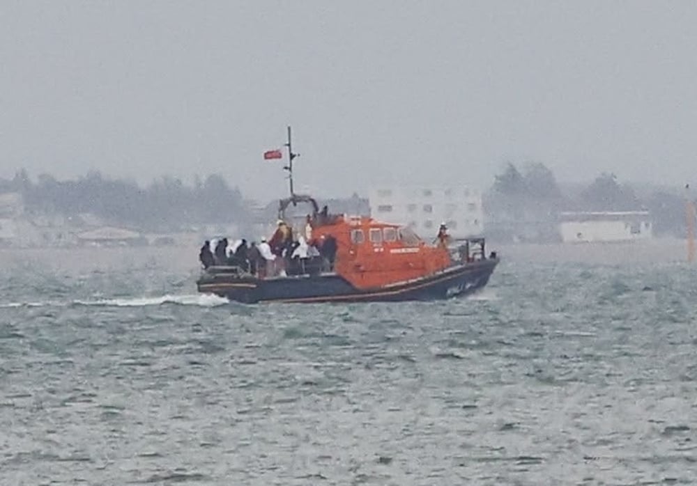
In a complete turn around from the weather being experienced this week so far, Islanders are warned that the strongest winds will lead to large waves round exposed coastlines with gusts of up to 55mph.
The weather warning is in place from 07:00 until 21:00 on Saturday.


Forecasters are warning that disruption is to be expected, especially to holidaymakers and outdoor activities.
UPDATE FRIDAY @ 17:00 – The Met Office have extended their warning period to 02:00-21:00 tomorrow and say that gusts of up to 50mph inland can be expected.
Meanwhile the Environment Agency have issued a flood alert for the Isle of Wight Coast.
According to the warning there is potential for minor overtopping into coastal roads around midnight tonight, more so at Yarmouth and Ryde. At Yarmouth, minor overtopping may occur at the ferry terminal car park as wave heights begin to increase from early evening.
Wave heights will continue to build through Saturday so similar minor overtopping impacts might be experienced at high water tomorrow lunchtime, expected around 12:30.