


 A yellow weather warning for strong winds and storm surges across the Isle of Wight has been issued by forecasters at the IW Met Service.
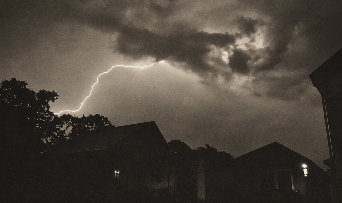
Winds will increase throughout tonight (Saturday) and into Sunday morning with the risk of gusts of up to 60/65mph in some exposed coastal areas, as well as over the higher ground of southern and western parts of the Island.
Gusts of up to 50mph are likely in other locations.


There is also the risk of some minor coastal flooding due to the combination of high tides, strong winds and a storm surge.
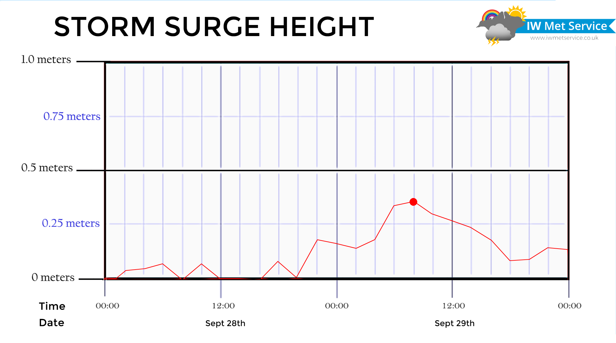
Late Saturday evening and into early Sunday morning will see a slight storm surge risk, with a second surge during Sunday morning between 09:00 and 13:00.
The highest risk areas are Yarmouth, East Cowes and Cowes although only very minor breaching of the sea defences are expected here. This could however still lead to a little flooding on the roads that are directly adjacent to the sea.
There will also be the risk of some minor flooding due to the large waves that may overtop sea defences along the south and west of the Island.
Large waves are expected in Bonchurch, Ventnor, Steephill Cove, Niton (Castlehaven), Freshwater Bay, Totland Bay and Colwell Bay. There may be some minor overtopping in Shanklin, Sandown and Whitecliff Bay, but the waves here will be considerably smaller than the southern and western coasts.

There is the risk of some travel disruptions due to the tides and wind which includes cross-Solent travel.
The yellow weather warning is in force from 21:00 tonight until 01:00 tomorrow (flood risk only) and again from 02:00 until 17:00 tomorrow (wind and storm surge combined).
For the latest weather forecasts visit www.iwmetservice.co.uk. Learn more about their warnings here.