


 An amber weather warning has been issued for the Isle of Wight as winds of up to 90mph are expected to hit on Friday, bringing a risk of structural damage and waves in excess of 5 metres.
Forecasters at IW Met Service have been carefully watching the forecast models this week as Storm Dudley and Storm Eunice were named nationally. It has now been determined that the likely effect on a local level is so significant that an amber warning has been issued.
Islanders are warned that Southwesterly wind gusts of 60-70mph are possible almost anywhere across the Island, potentially up to 80-90mph in more exposed regions of the South and West, with the coast and downs likely to see the highest wind speeds.


Structural damage to buildings, especially in more exposed areas, is possible with falling tree debris such as twigs, branches and downed trees also a risk.
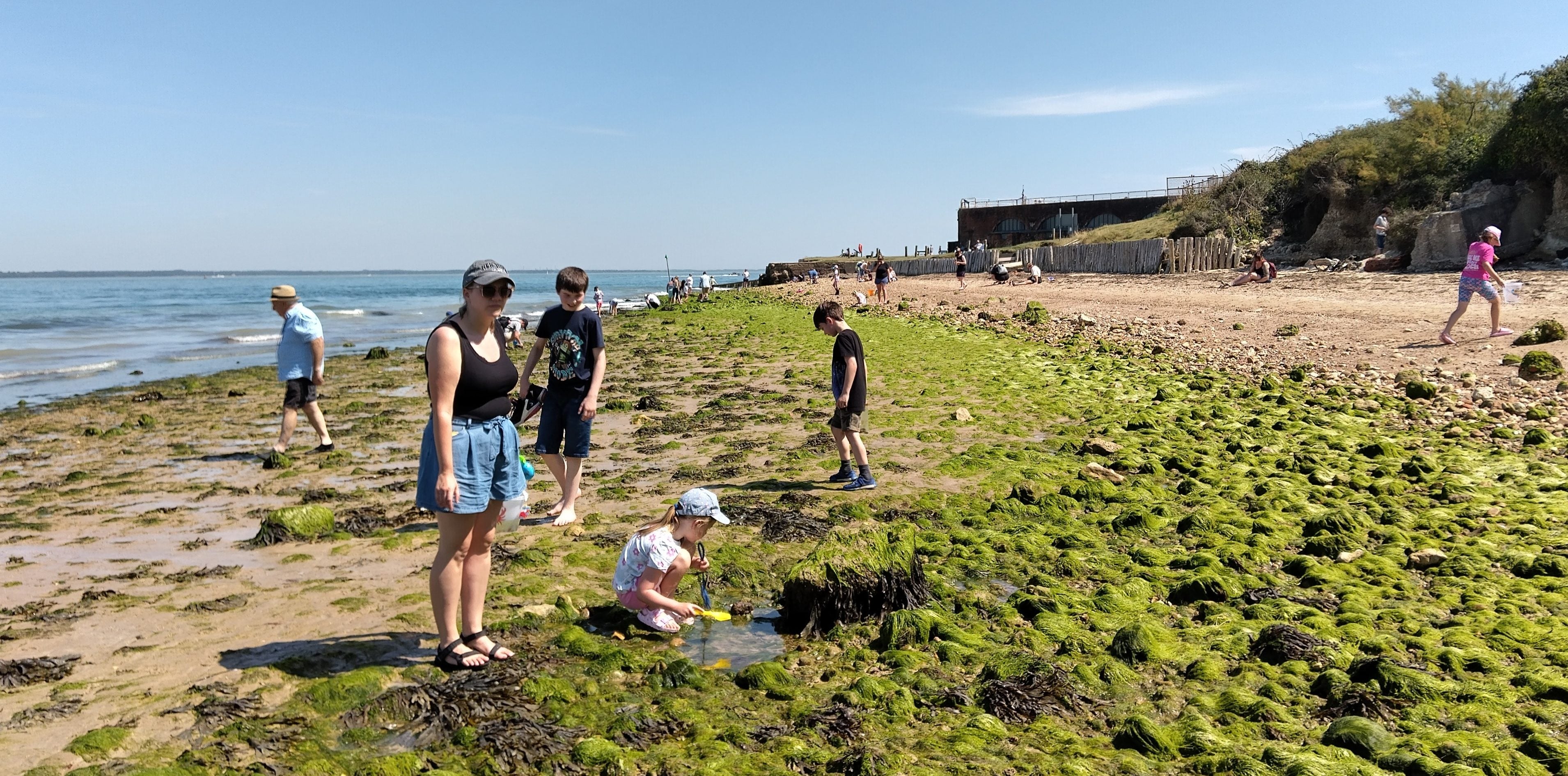
On the coast, very large waves are expected with wave heights in excess of 5m along with sudden wave surges where 2 or more waves combine, giving a sweeping type effect that will be exceptionally hazardous to beach walkers.

General over-topping of sea defences in Southern and Western parts is also expected with sand, spray and shingle being thrown onto roads and walkways, however, IW Met Service say they aren’t expecting much in the way of coastal flooding.
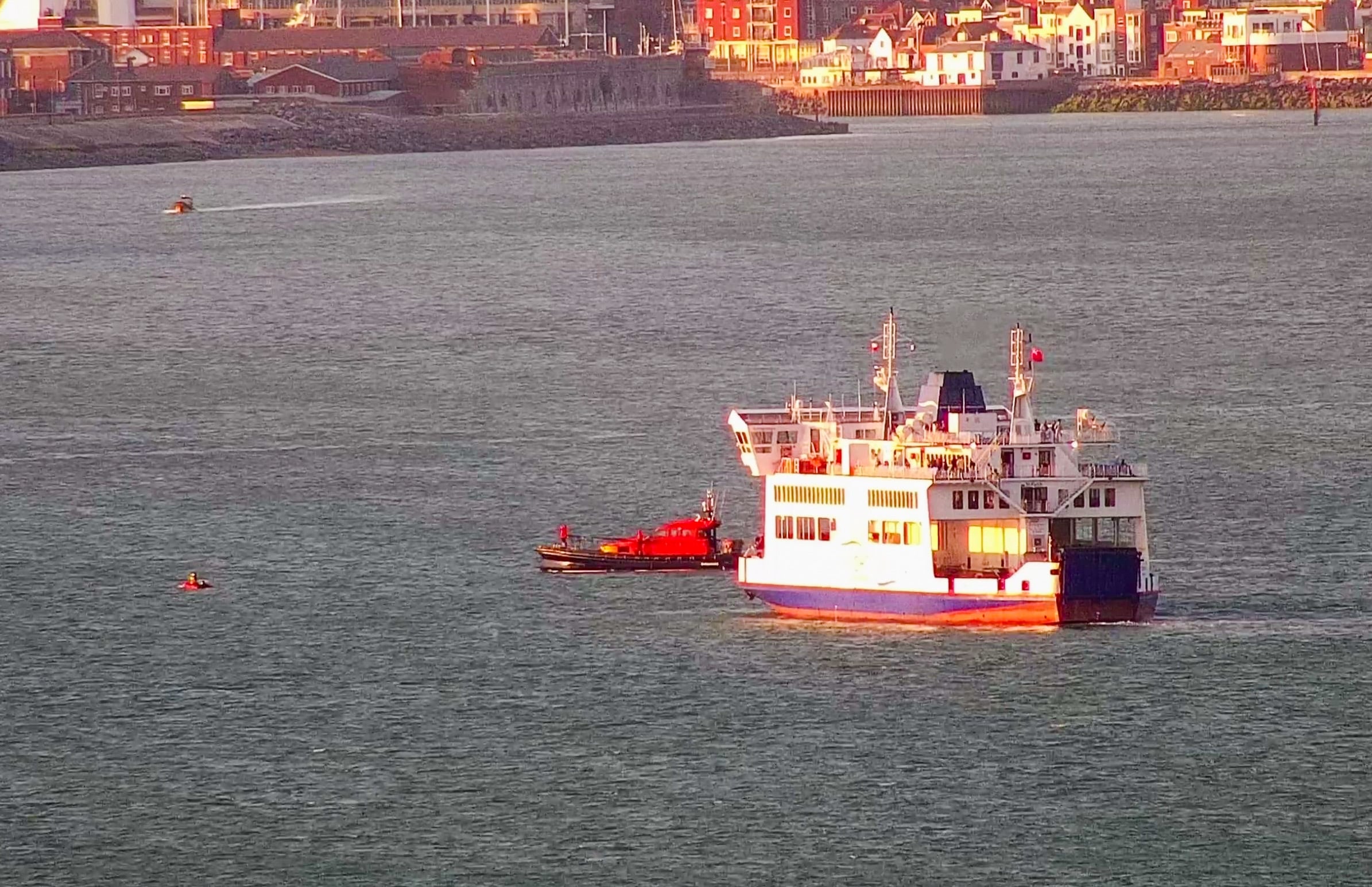
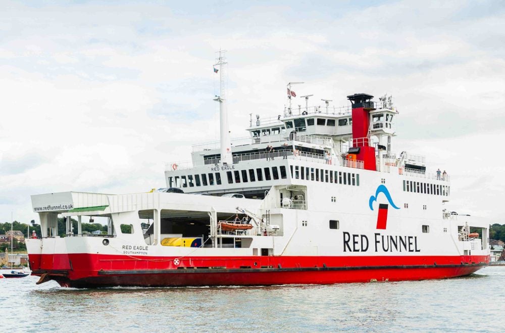
Significant travel and transport disruption is likely, especially to cross-Solent travel.

The amber weather warning is in force from 07:00 until 17:00 on Friday (18th February), with the potential for this to be upgraded to a red ‘danger to life’ warning as the week progresses.
Follow Island Echo for all the latest on Storm Eunice throughout the week…