


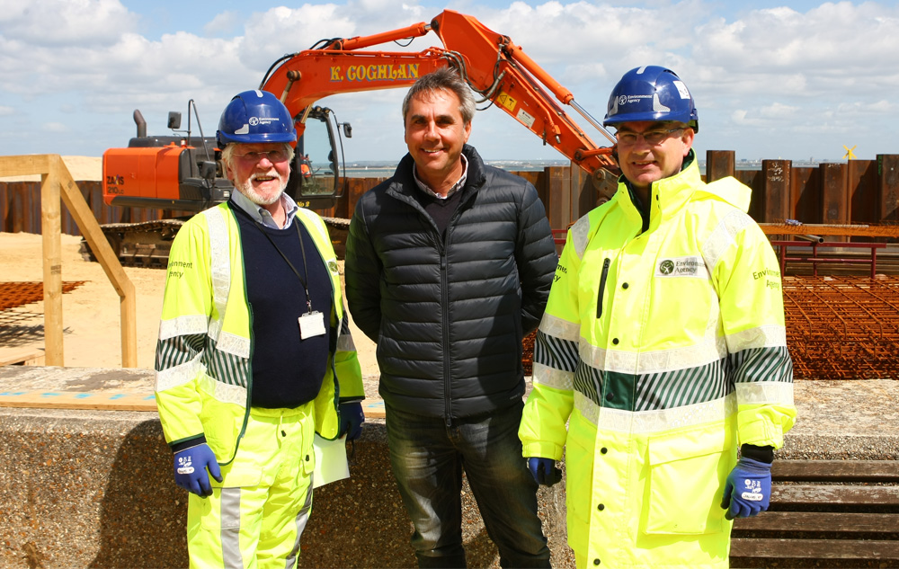
 Environment Agency contractors are now well into the construction of the new £5million flood scheme to better protect more than 300 properties in Ryde, elements of which could last for the next 100 years.
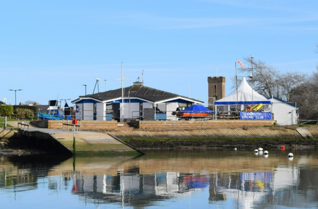
In partnership with the Isle of Wight Council and the Southern Regional Flood and Coastal Committee, the completed scheme will significantly reduce flood risk in the area.
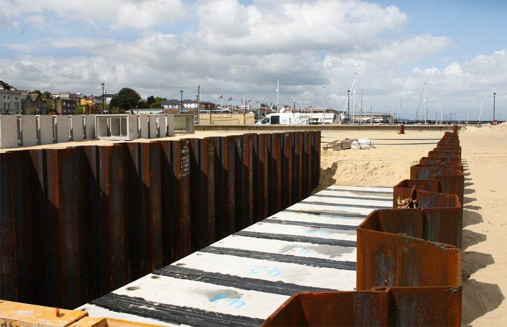
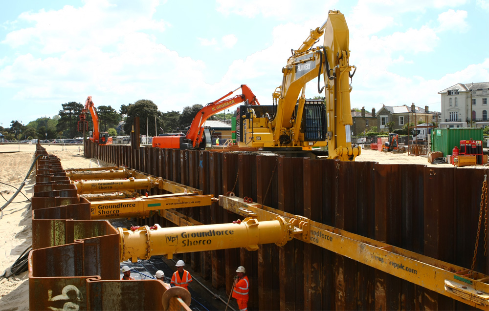
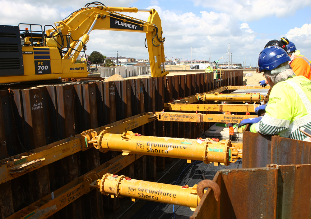
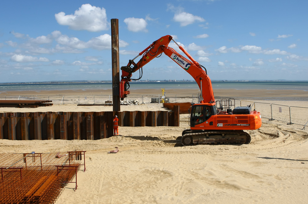
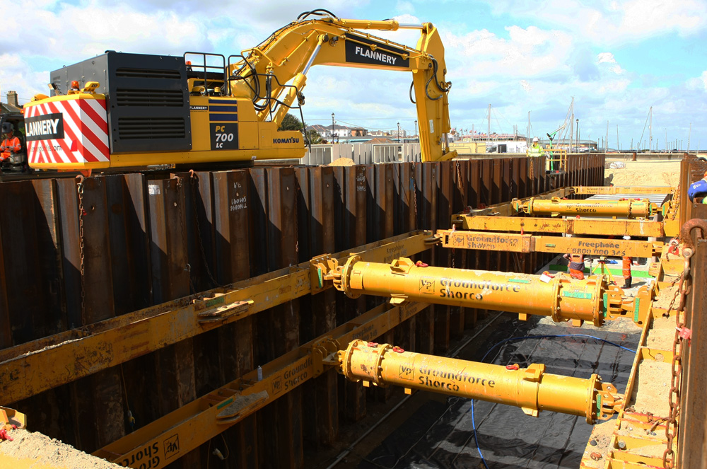
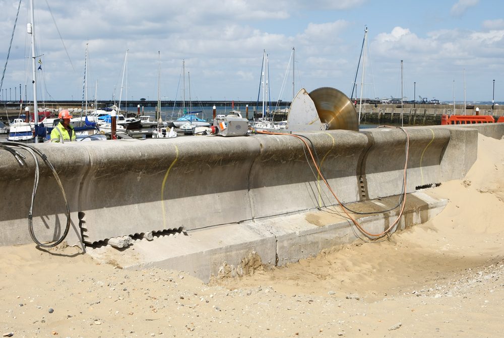
The first stage of the project is to build a new outfall pipe from the sea wall in front of the existing pump station at Cornwall Slip across Ryde Sands to Ryde Harbour. This will mean a clear outfall is maintained allowing more water to be discharged to the sea in heavy rainfall events. It will also lead to a significant reduction in the frequency of river flows overtopping the bank and flooding land and properties surrounding Monktonmead.


A small section of the beach is currently closed and the beach playground has been removed to allow work to take place. The Environment Agency expects these essential works to be completed by November this year, however, the site will be cleared in July allowing the beach and playground to reopen for the summer holidays. This phase of works will recommence in September.
92 separate concrete sections, each weighing 13 tonnes and tall enough to stand in, are currently being lowered into place. The next stage is to cut through the sea wall and into the harbour, where eventually thousands of litres of water will exit the culvert. A deflection water will be installed to prevent damage and erosion.
The second and final stage is the construction of a flood wall around Simeon Street Recreation Ground, Marymead Close and the river boundary of the BT depot. These works are planned to start in June and be completed by October.
Environment Agency Manager John O’Flynn has said:

“The scheme has been designed to deal with a extreme flood event. I have every confidence that it will deal with that.
“Of course there are always events that will exceed the design criteria so we cannot eliminate all flooding whatsoever. If that was to happen we would have to deal with that as it came along. However, as for the design I am confident it will do what we have said.
Speaking about the work set to begin at Simeon Street Rec next month, John added:
“When flows exceed the capacity of the culvert at the beach, rather than the water flowing into properties around Ryde, the river will spill into the recreation ground where it will be held, like a storage pond, until the culvert is able to drain the water from the river. The water that is contained within the recreation ground will then drain back into the river and away”.
A detailed design of the flood wall that constitutes the second stage of the project is to be submitted to the planning authority for final approval prior to works commencing next month.
When asked what this project means for residents in the area, Councillor Wayne Whittle, ward councillor for Ryde North East said:
“Thanks to these works, locals should be able to get insured again and those who have been able to get insurance at a higher price may see a reduction.
“Residents are hoping to get a ‘ticket’ from the Environment Agency and from Southern Water to say that this is no longer a flood risk. Of course it will always be classed as a flood zone because if you do any water table mapping it shows its underwater.
“The water will be able to move out into the harbour and any extra can be stored in the rec until after the event [adverse weather]”.