


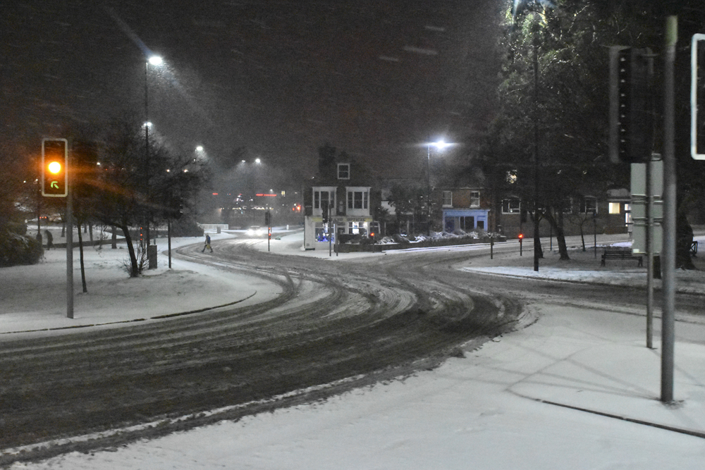

 Snow is expected to fall across the Isle of Wight overnight, bringing a light covering to many parts of the Island and icy conditions on Thursday morning.
IW Met Service has issued a yellow weather warning for both snow and ice between 01:00 and 09:00 tomorrow (11th February 2021).
Forecasters say that during the early hours an area of snow is likely to move up from the English channel. The exact positioning and the eastward extent of the snow is highly uncertain, but it is possible that around 1cm of snow could fall.


The highest risk of snow is for areas in the far west and south of the island. Areas further north such as Cowes and Ryde are more likely to see just a few flurries, much like what has been experienced over the past 48 hours.
Icy conditions are also expected, especially where any snow falls. Temperatures as low as -4c are possible overnight but this will rise above freezing towards dawn.
Not everywhere will see snow falling and there is also a reasonable chance that the heaviest snow could miss the Island to the west. If snow does fall, most of it should have melted by the time we move into daylight hours.
A cold weather alert remains in force until Friday with the wind chill making things feel very much sub-zero.


Stay safe people 🙂
shock, horror – cold, snow and ice in winter.
Sadly the idiot’s that drive on our roads need to be told, but I expect most won’t take any notice from what I’ve seen this morning…
Don’t know where you are getting your information. Met office is not saying anything about snow. No warnings.
I can report there won’t be any snow in Ventnor.
Stay safe people. Having just driven back from Ventnor to Shanklin we will all survive. Tried to spot some snow but failed.