


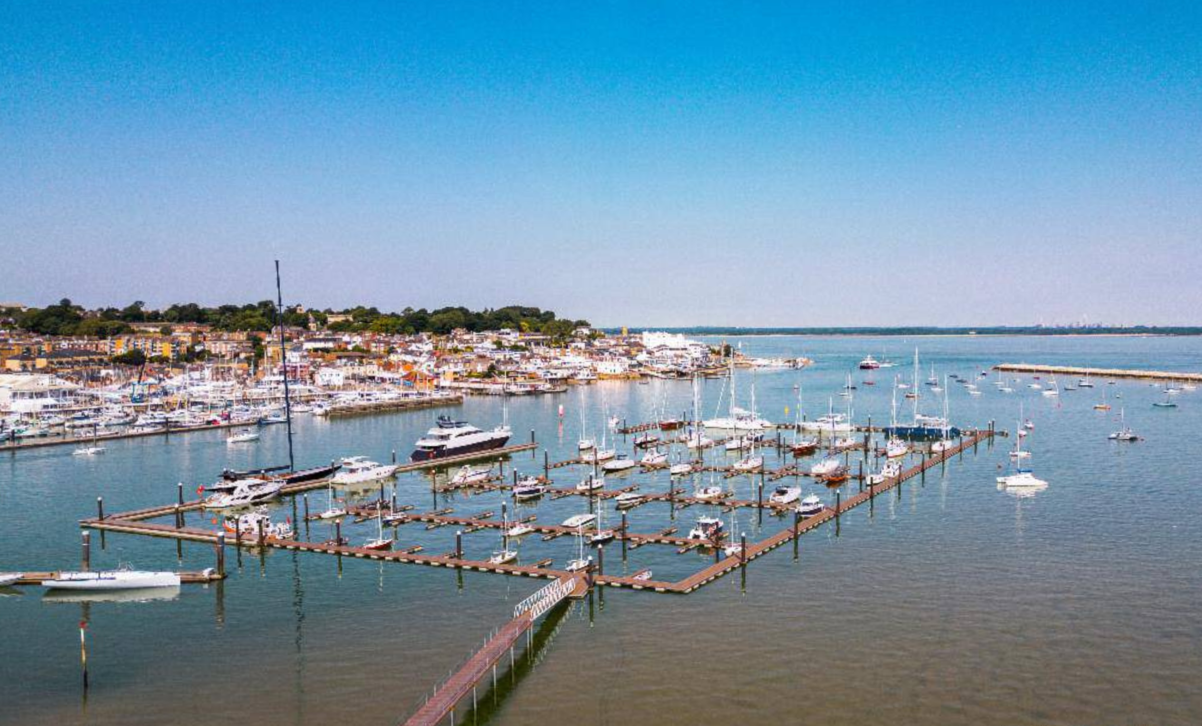


Outdooractive, Europe’s largest outdoor activity and tourism digital platform, has released its latest UK map update which includes work enabled by cooperation with the Isle of Wight Council and Visit Isle of Wight.
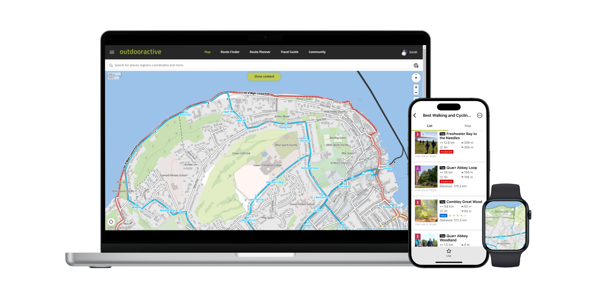
Created by its own team of cartographers, the unique Outdooractive map brings together authoritative datasets from multiple data sources and suppliers. The scalable, vector map also includes a fully routable path network, specialised activity networks for hiking, cycling, mountain biking, and winter sports, along with a range of useful map overlays including a photo map layer and public transport.
Whilst creating this new UK map, cartographers worked with the Isle of Wight Council to include data from the Island’s Definitive Map and to ensure that information such as rights of way (which can often be missing or misrepresented in crowd-sourced map data) is accurately included.


Councillor Phil Jordan, Isle of Wight Council Leader with responsibility for Transport and Infrastructure, has said:
“This represents a significant contribution from our Rights of Way Team to improving information for visitors, residents and local business in how they find their way around our beautiful island. Modern technology has an important part to play, especially ensuring people have the most current information and quick means to access.”
Amy Summers, Sustainable Travel, Trade & Exhibitions Manager at Visit Isle of Wight, adds:
“As a popular destination for families and people seeking to enjoy time outside, our goal is to ensure that visitors have the best information available so that they can enjoy many of the amazing sights and experiences when they visit the beautiful Isle of Wight.
“Working with Outdooractive helps us to showcase the wonderful opportunities for walking, cycling and other activities on the island and gives us valuable insights into our visitor interests.”
Article continues below this advertisement

The Outdooractive map is available in the popular Outdooractive app, where consumers also have access to OpenStreetMap and Ordnance Survey maps, used to find adventure inspiration and for planning and navigating those outdoor activities.
It can also be used by tourism destinations and other business partners to embed maps, routes and attractions in their websites, or in their own-branded tourism app. Visit Isle of Wight uses Outdooractive to power a range of interactive tourism and route maps on their own website.