


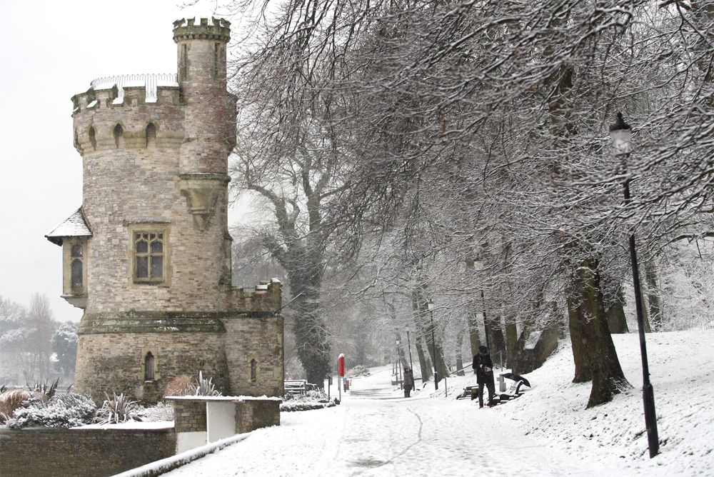

The Met Office has this morning (Saturday) issued 2 yellow weather warnings for snow on the Isle of Wight on Tuesday and Wednesday – but local forecasters say that further snowfall is likely to hit us later in the week.
Snow showers or longer periods of snow are expected across most of the South throughout Tuesday, which has the potential to cause travel delays on roads with some stranded vehicles and passengers. On Wednesday, heavy snow showers are expected with some rural communities becoming cut off.
Although the Met Office warnings currently only cover Tuesday and Wednesday, yesterday afternoon IW Met Service told Island Echo that Thursday and Friday could well see even heavier snow fall on the Island.


The extremely bitter wind chill next week will bring the feel like temperature down to -13c at times, making for uncomfortable conditions. It is set to be the coldest spell of weather experienced for several years.
Residents should be aware of the possibility for power cuts and other services, such as mobile phones, to be affected.
Top tips to prepare for colder weather:
- Look out for friends and family who may be vulnerable to the cold and ensure they have access to warm food and drinks and are managing to heat their homes adequately
- Try to maintain indoor temperatures to at least 18C, particularly if you are not mobile, have long term illness or are 65 or over
- Take weather into account when planning your activity over the following days
- If eligible seek entitlements and benefits such as Winter Fuel Payments and Cold Weather Payments, which are available to some
- If you meet the criteria register for priority service with your energy and water suppliers
- Avoid exposing yourself to cold or icy outdoor conditions if you are at a higher risk of cold related illness or falls
- Discuss with friends and neighbours about clearing snow and ice from in front of your house and public walkways nearby