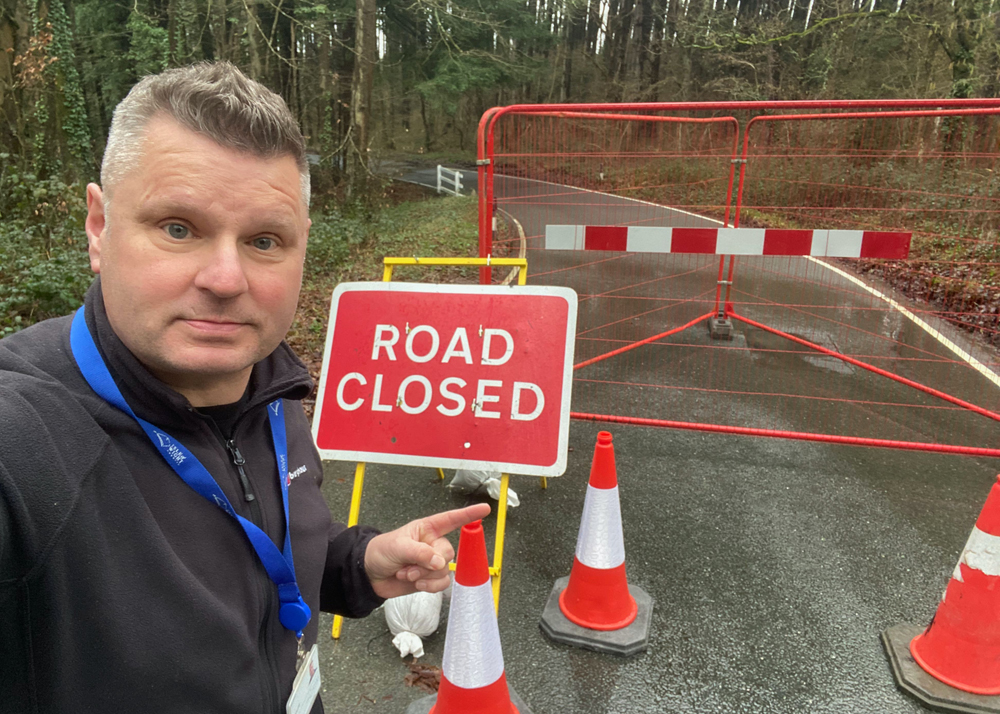


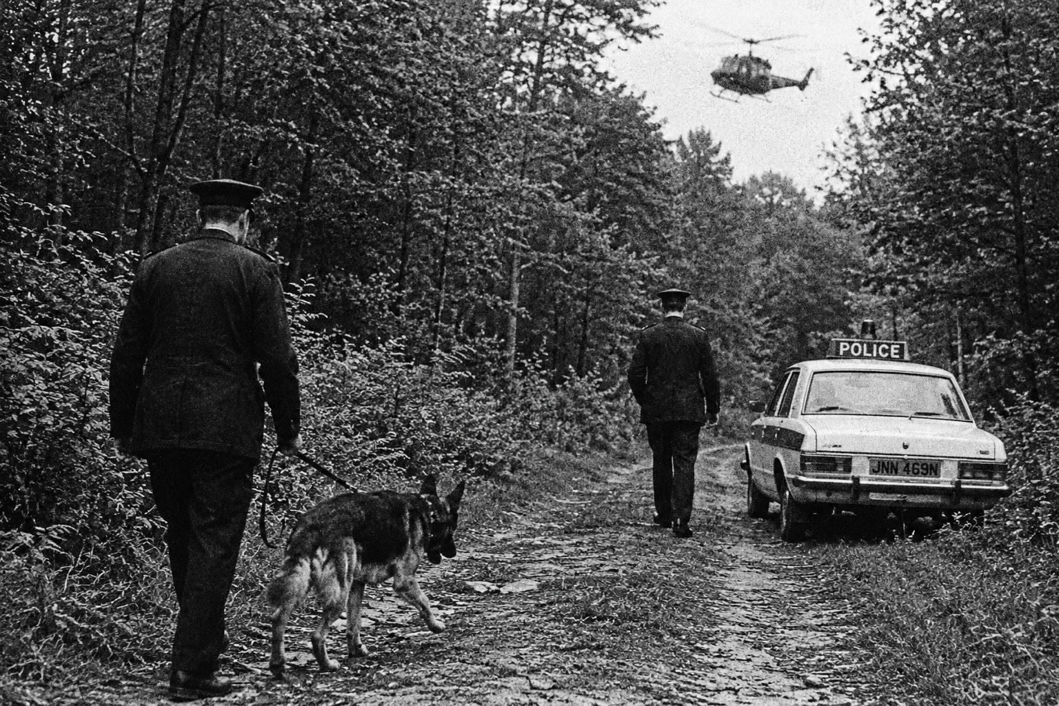


Emergency Closure
 Emergency road and footpath closures are a regular occurrence on the island due to unforeseen circumstances. Our aim is to keep you up-to-date with the latest emergency notices released by Island Roads & the Isle of Wight Council as and when we receive them.
Take a look at the most recent emergency closures below.
View planned road and footpath closures, published every Friday, by clicking here.
Emergency road and footpath closures are a regular occurrence on the island due to unforeseen circumstances. Our aim is to keep you up-to-date with the latest emergency notices released by Island Roads & the Isle of Wight Council as and when we receive them.
Take a look at the most recent emergency closures below.
View planned road and footpath closures, published every Friday, by clicking here.

RYDE ROAD IN SEAVIEW CLOSED FOR EMERGENCY WORKS BY SOUTHERN WATER
Ryde Road in Seaview has been closed from its junction with Steyne Road to its junction with Church Street for a distance of 38 metres. This is to enable Southern Water to restore service. The diversion will affect these streets:...
Read moreDetailsPELLHURST ROAD CLOSED LAST FRIDAY FOR WATER MAIN REPAIRS
Pellhurst Road in Ryde was closed last Friday (6th) from its junction with Argyll Street for a distance of 26 metres in a southerly direction. The closure is to enable Southern Water to carry out emergency repairs. The diversion will affect...
Read moreDetails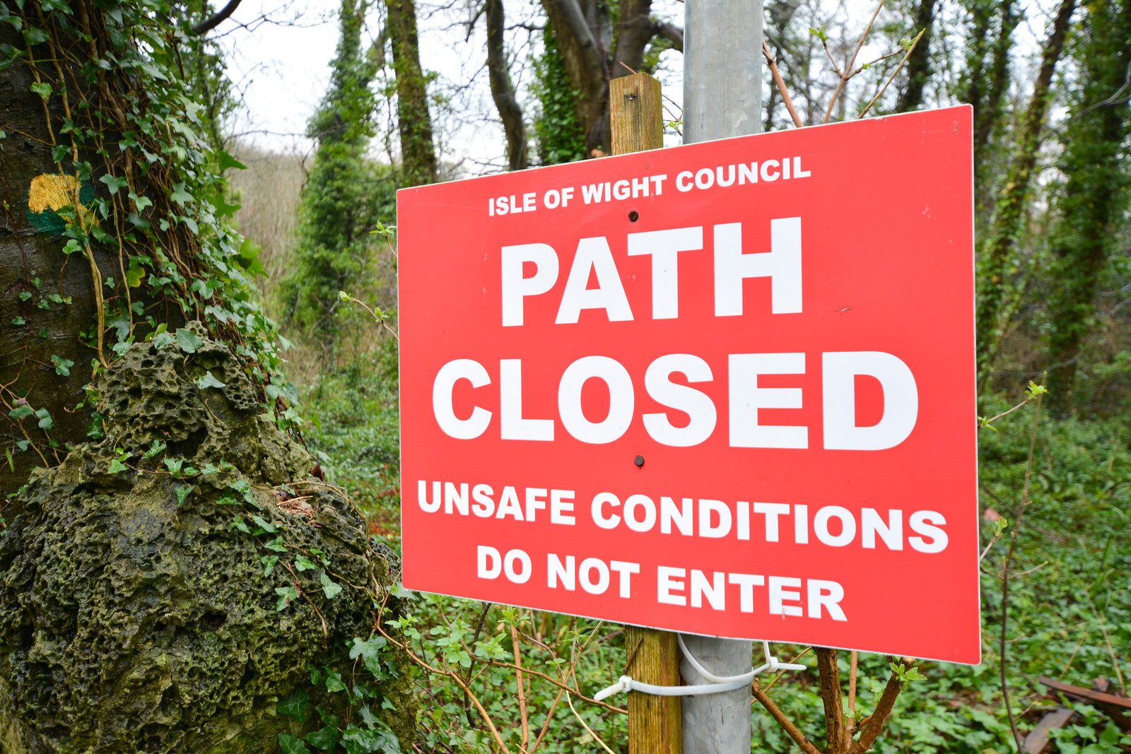
ACCESS PATH TO SANDOWN ESPLANADE CLOSED FOLLOWING A LANDSLIDE
Sandown and Shanklin Footpath 59, Ferncliff Path has been closed from its junction with Esplanade to its junction with Ferncliff Road. The emergency footpath closure is due to a landslip. The pedestrian diversion route will be signed at the time...
Read moreDetails
MORTON ROAD & MORTON COMMON CLOSED DUE TO FLOODING
Morton Road & Morton Common in Brading has been closed from its junction with Marshcombe Shute to its junction with Perowne Way for a distance of 1224 metres. The emergency closure due to flooding. The diversion will affect these streets:...
Read moreDetails
GOLF LINKS ROAD IN LAKE CLOSED DUE TO HIGH WATER LEVELS
Golf Links Road in Lake has been closed from its junction with Lower Road to its junction with the Fairway for a distance of 1285 metres. The emergency closure due to High Water Levels. Reasonable facilities will be provided to...
Read moreDetails
HIGHWOOD LANE IN ROOKLEY CLOSED DUE TO FLOODING
Highwood Lane in Rookley has been closed from its junction with Blackwater Hollow to its junction with New Road for a distance of 1242 metres. The emergency closure due to flooding. Reasonable facilities will be provided to allow access to...
Read moreDetails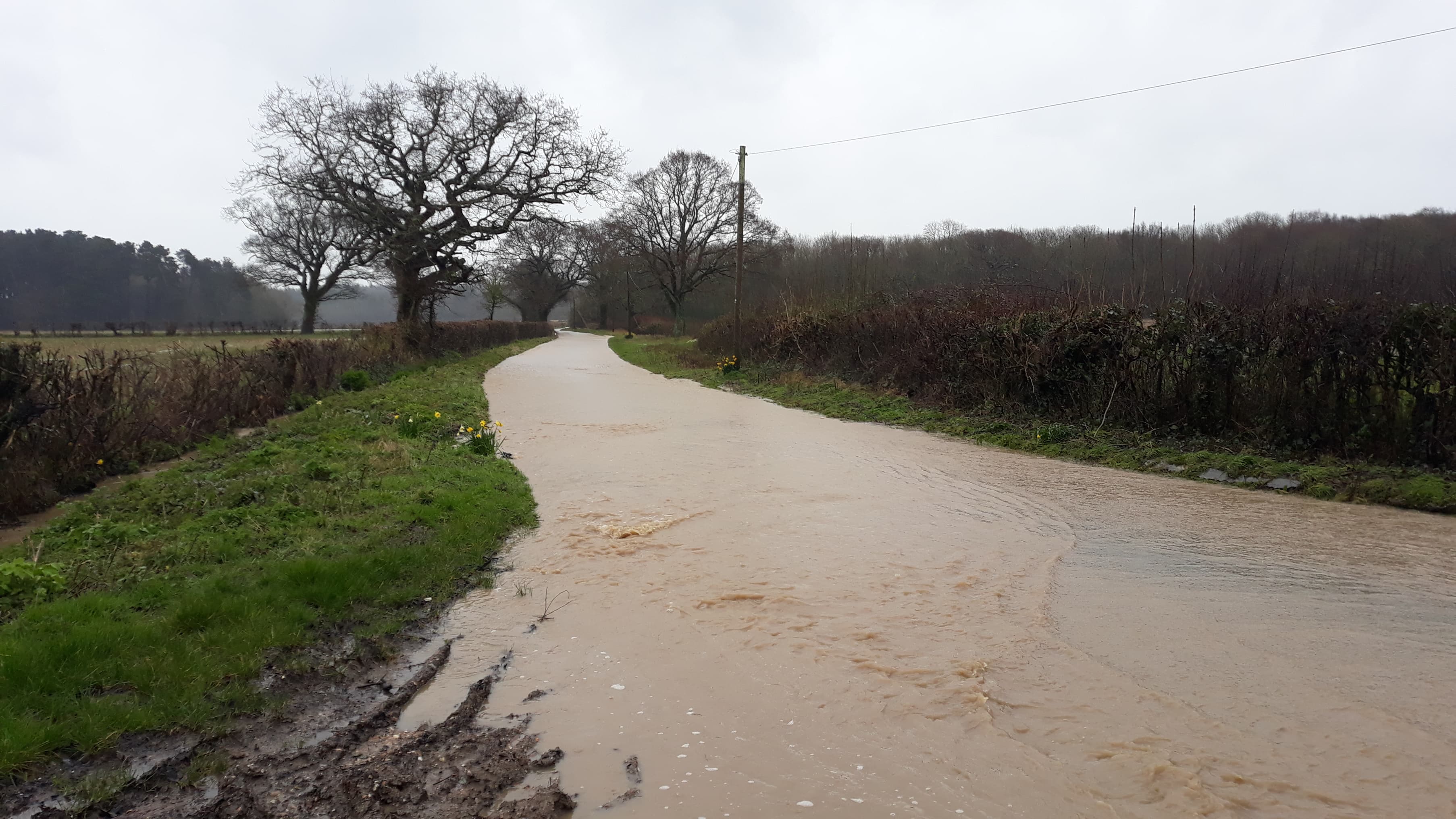
HARDING SHUTE, RYDE CLOSED DUE TO FLOODING
Harding Shute in Ryde has been closed from its junction with Green Lane to its junction with Beaper Shute for a distance of 1561 metres. The emergency closure is due to flooding. The road was closed from 15:00 hours on...
Read moreDetails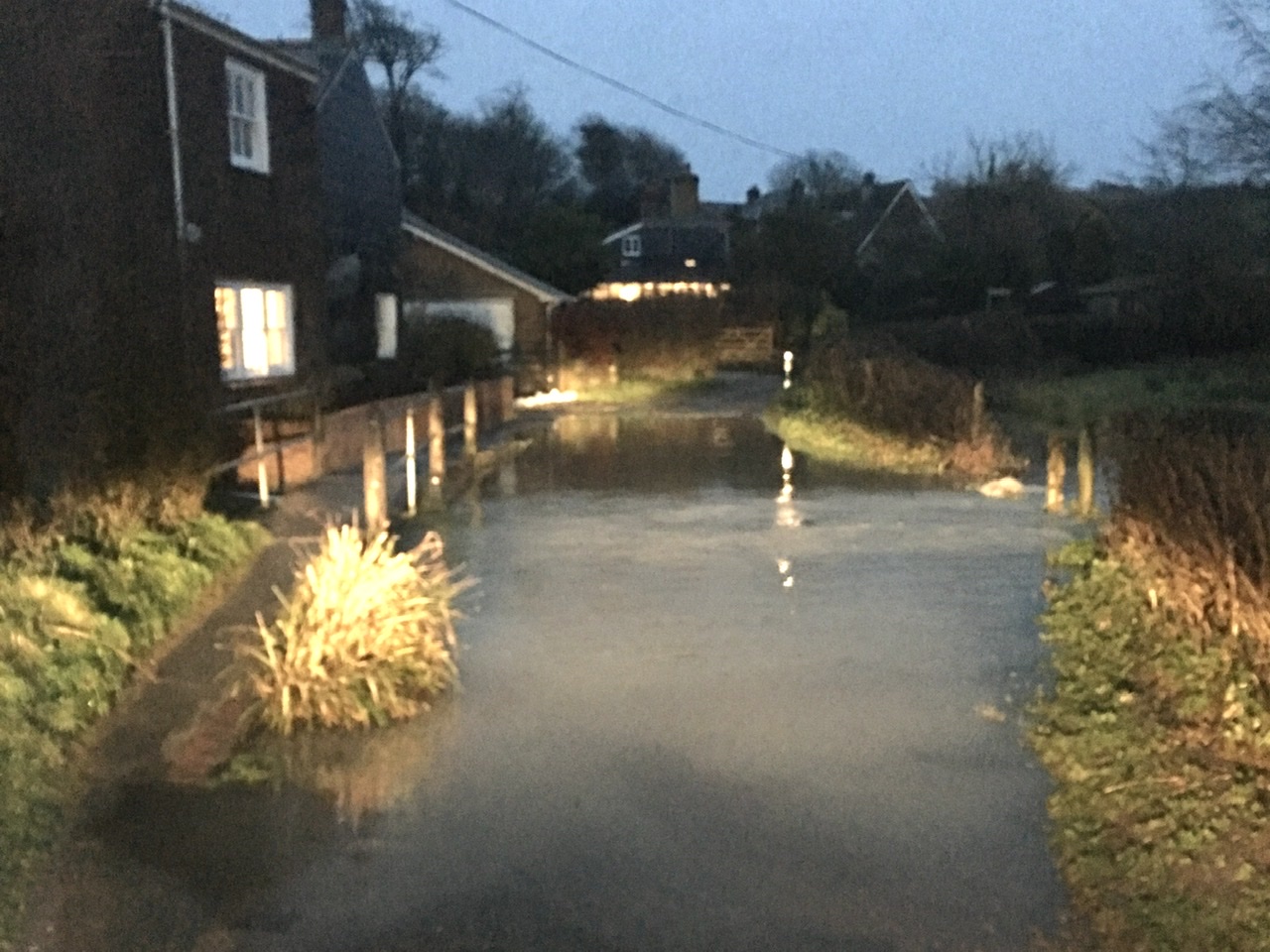
CLATTERFORD SHUTE, NEWPORT CLOSED DUE TO HIGH WATER LEVELS AT FORD
Clatterford Shute, Newport has been closed from its junction with Bowcombe Road to its junction with Froglands Lane for a distance of 276 metres. The emergency closure is due to high water levels at Ford. The road was closed from...
Read moreDetails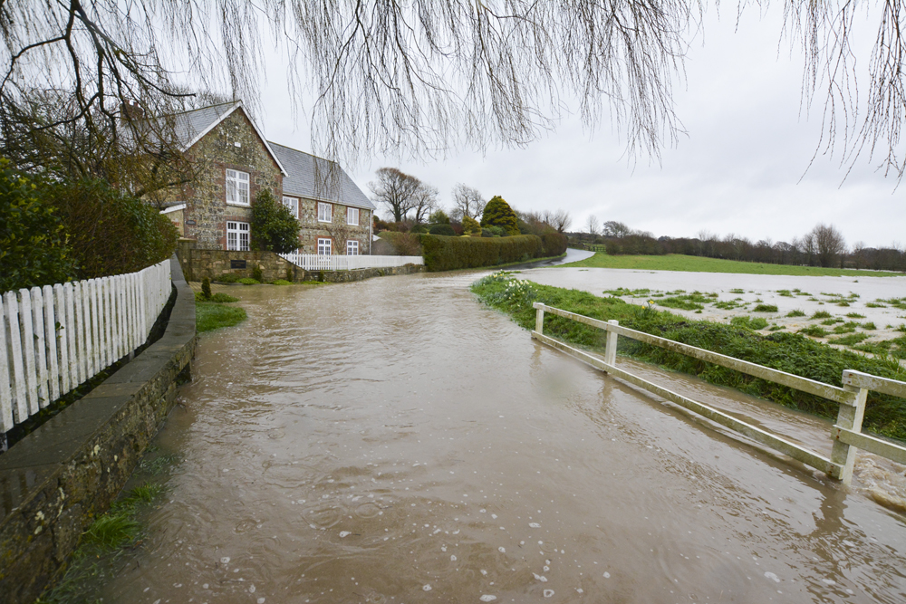
SOUTHFORD LANE, WHITWELL CLOSED DUE TO FLOODING
Southford Lane, Whitwell has been closed from its junction with Whitwell Road, Whitwell, to its junction with Newport Road, Niton for a distance of 650 metres. The emergency closure due to flooding on the highway outside Southford Mill (see photo)....
Read moreDetailsUNION ROAD IN RYDE CLOSED DUE TO A LEAKING COMM PIPE
Union Road, Ryde has been closed today (Tuesday) from a point 75 metres south of its junction with Castle Street. This is to enable Southern Water to carry out repairs to a leaking comm pipe outside number 17. The diversion...
Read moreDetails