


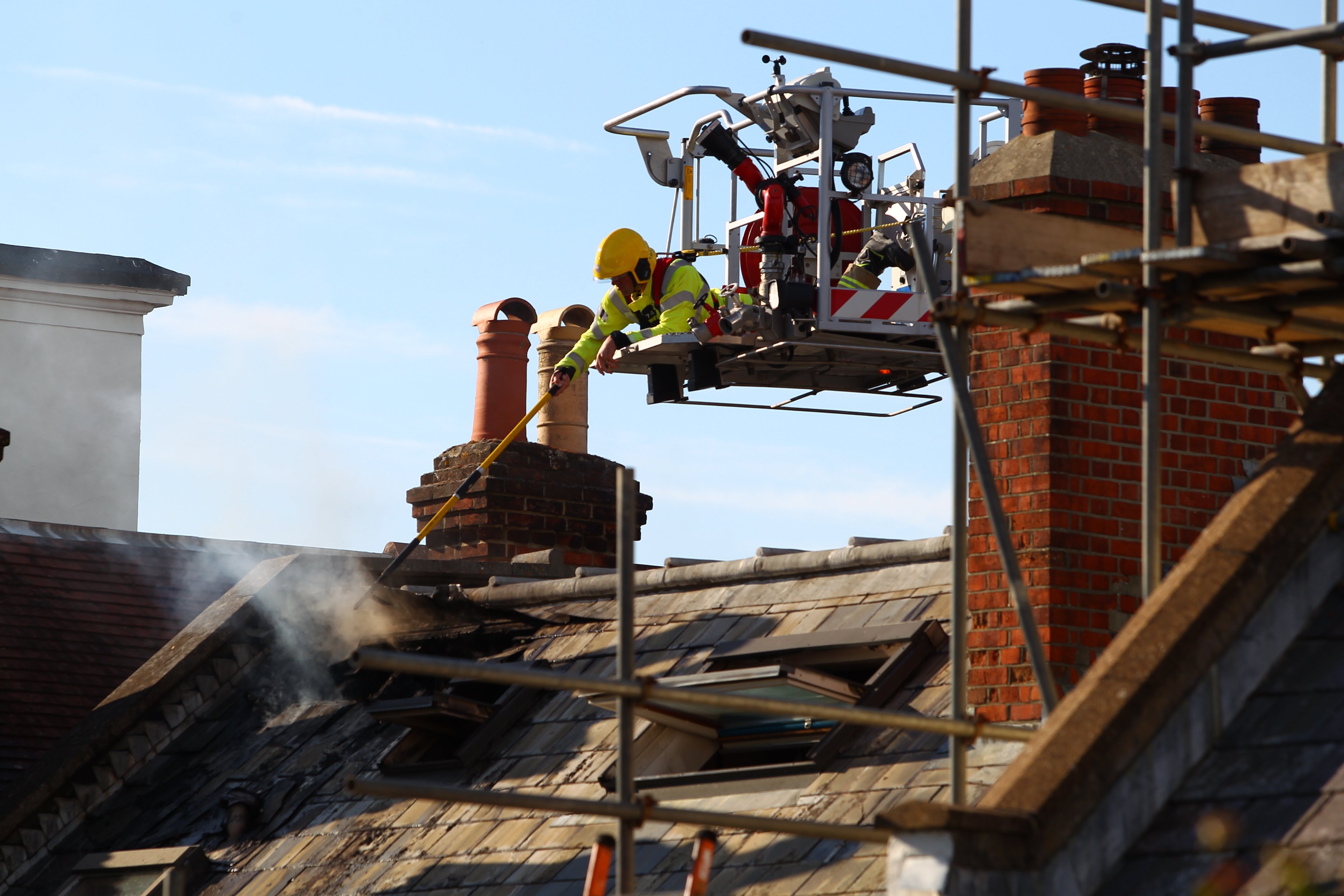
Forecasters have issued a yellow weather warning for heavy rain across the Isle of Wight tomorrow (Wednesday).
IW Met Service says that heavy rain will move in early tomorrow morning and will persist into the afternoon, with some very heavy spells embedded.
Rainfall amounts will vary but up to 25mm worth of rain may fall locally in heavy bursts. This will lead to lots of surface water along with locally flooded roads in the usual prone locations.


The rain will clear for a time but a second spell of heavy rain in the form of intense showers will arrive later in the evening with a further 5-10mm of rainfall possible locally. Once again the Island will see a lot of surface water along with locally flooded roads, especially during any of the more intense downpours.
Excessive silt and debris on the roads is expected, along with the odd downed tree.


Still waiting for all the thunderstorms promised over the last week.
On Thursday evening I returned from visiting family on the Island. I think Northamptonshire got what was forecast for the Island; I don’t ever remember thunderstorms like it; it was horrendous.
Northamptonshire has had thunder every day since Thursday, until yesterday (Monday). At least the garden got a good drink and it’s less humid.
IW Met and Island Echo never once mentioned thunderstorms for last week, that was other forecasters and news outlets.
Same here, I pay my Council Tax so I’m entitled to a good thunderstorm. When are the Council going to do something about it?
Don’t worry the thunderstorm is called the floating bodge at Cowes
i am still waiting for the thunder snow. IW met must cove most of the uk 95% of the time we never get what’s forecast for the island