
























































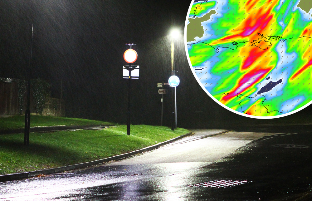

A fresh yellow weather warning for heavy rain has been issued for the Isle of Wight, with up to 60mm of rainfall, thunder and lighting expected overnight tonight (Saturday) and into Sunday.
IW Met Service says that heavy showers will develop overnight and into Sunday, bringing localised downpours – possibly accompanied by thunder and lightning in places.
Forecasters say that whilst some locations may only see a few mm worth of rainfall, other areas could potentially see as high as 30-40mm falling in a relatively short space of time. There is potential for localised totals of 50-60mm.


Jamie Russell, Chief Forecaster at IW Met Service, says:
“It should be noted that this isn’t widespread rainfall, so not everywhere will see the downpours. There is also a chance that the majority could just about miss the island, although a direct hit would certainly result in some very high rainfall totals”.
Islanders should be aware of the risk of localised flash flooding in the usual prone areas and rivers potentially breaching banks locally.
The warning is in force from 22:00 tonight until 19:00 tomorrow evening.