


A yellow weather warning for strong winds across the Isle of Wight on Tuesday has been issued by local forecast IW Met Service today (Sunday).
A small but potent area of low pressure will move in from the west early on Tuesday, bringing with it a spell of very strong southerly winds. Gusts of 50-60mph are expected widely with 70-75mph gusts over hills and on windward coasts for a short time.
Accompanying the wind will be a spell of very heavy rain, possibly torrential with hail mixed in.


Islanders are warned of the potential for falling tree debris such as leaves, twigs and branches with perhaps even the odd downed tree in some places
Overtopping waves around the Island’s western, southern and eastern coasts are possible with perhaps some minor breaching of sea defences along Solent coasts.
Motorists should expect treacherous driving conditions for a time, especially over high ground and exposed coastal routes. Cross-Solent travel could also be affected for a time.
The warning is in force from 10:00 until 18:00.


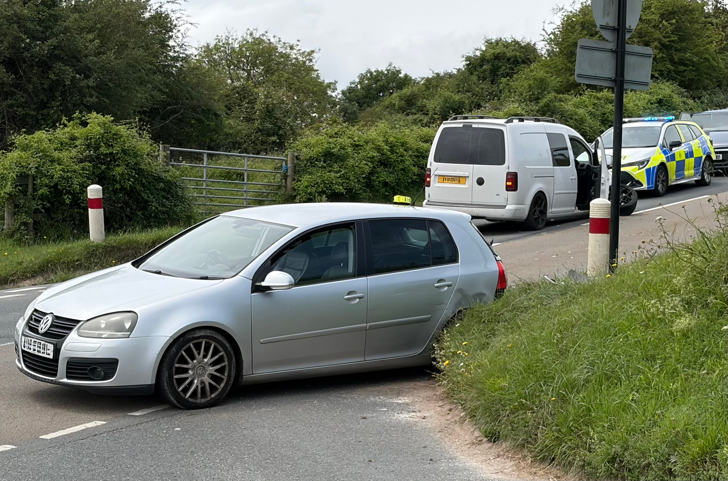


It’s not the threat of the weather to driving, its island idiots drivers on drugs and booze…