


































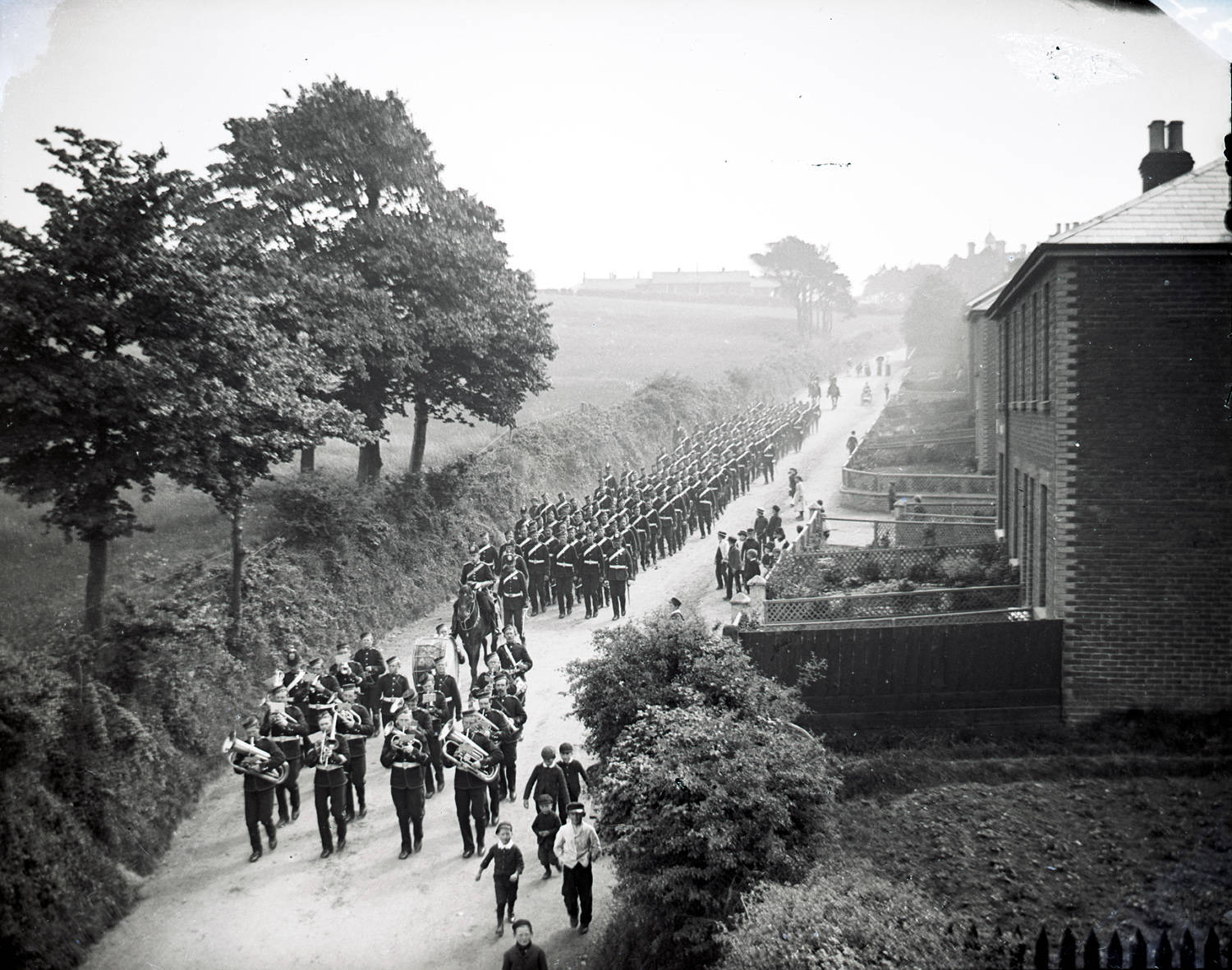
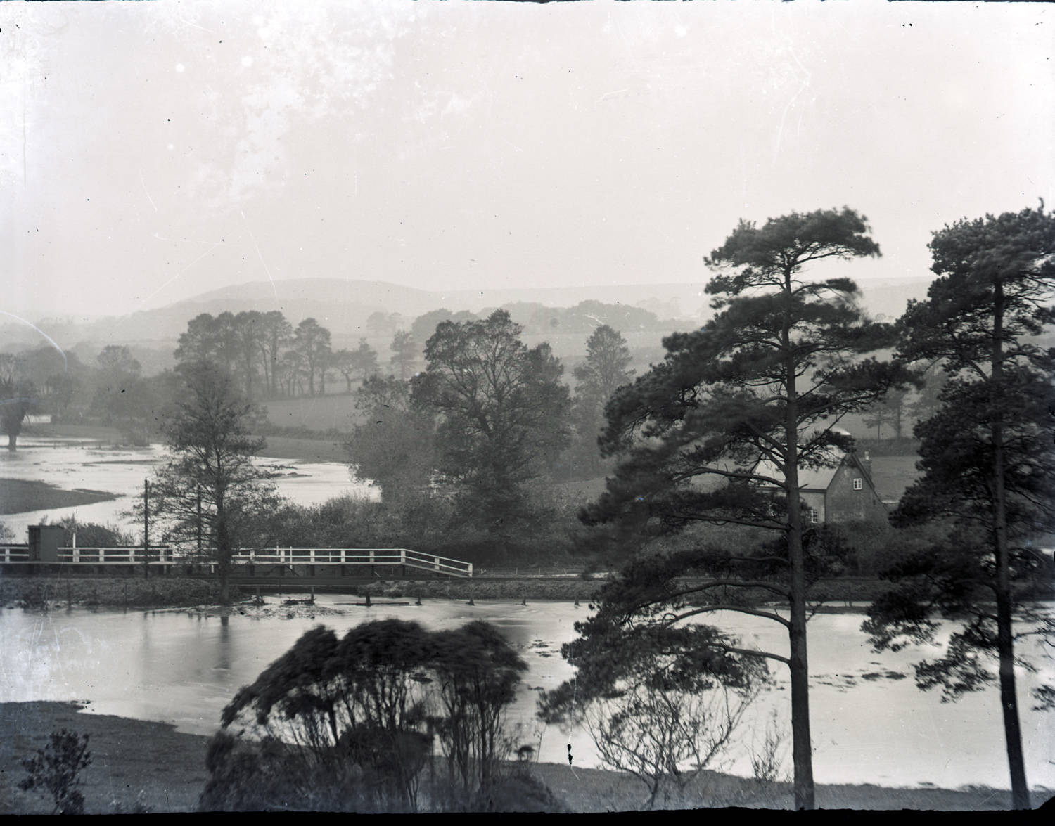
Can you identify any of the locations in these photographs? If so, then the Isle of Wight Heritage Service would like to hear from you.
The 6 images form part of a collection of more than 600 glass plate negatives taken by Sandown photographer, James Dore (1854-1925), that provide a vivid record of Island life at the turn of the 20th century.
While many of the places featured in Dore’s work are known, the locations in these 6 photographs remain a mystery.


Richard Smout, Isle of Wight Heritage service manager, said:
“It is possible that one or more of these pictures was not taken on the Isle of Wight.
“However, there may be a few clues in some of the photographs, and in all cases it is worth remembering that Dore was Sandown-based.
“He took pictures across the Island but there is likely to be an emphasis on communities in the south-east corner.”
If you can help identify the locations below, contact the Isle of Wight Heritage Service at [email protected].

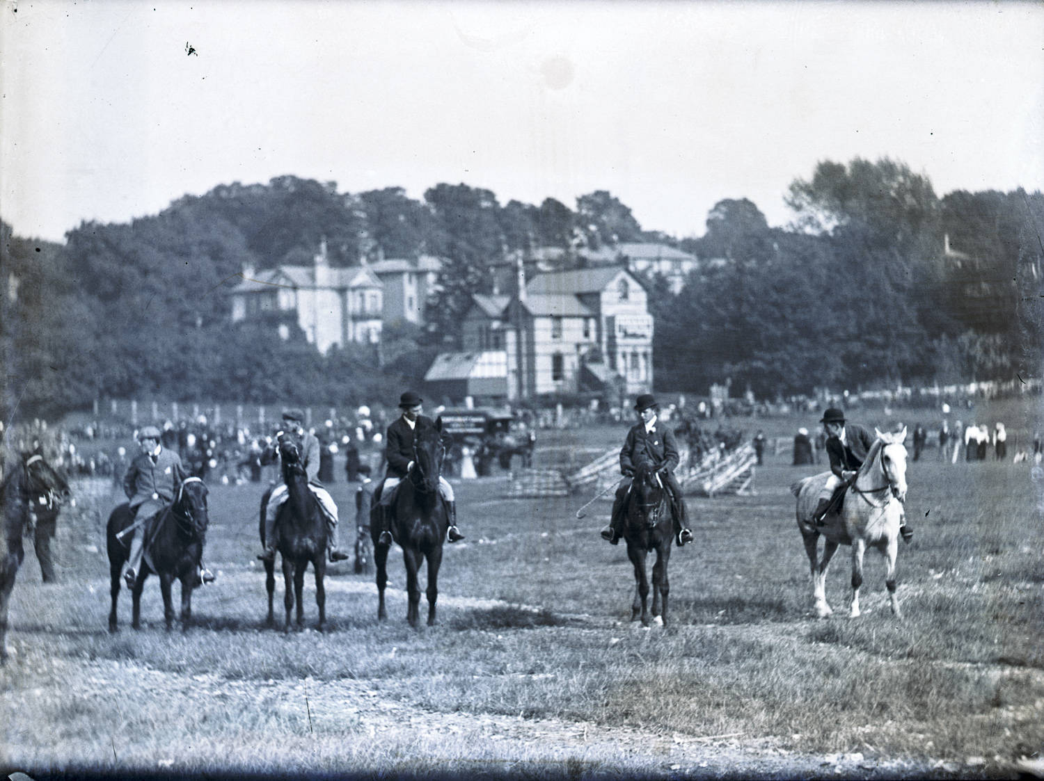
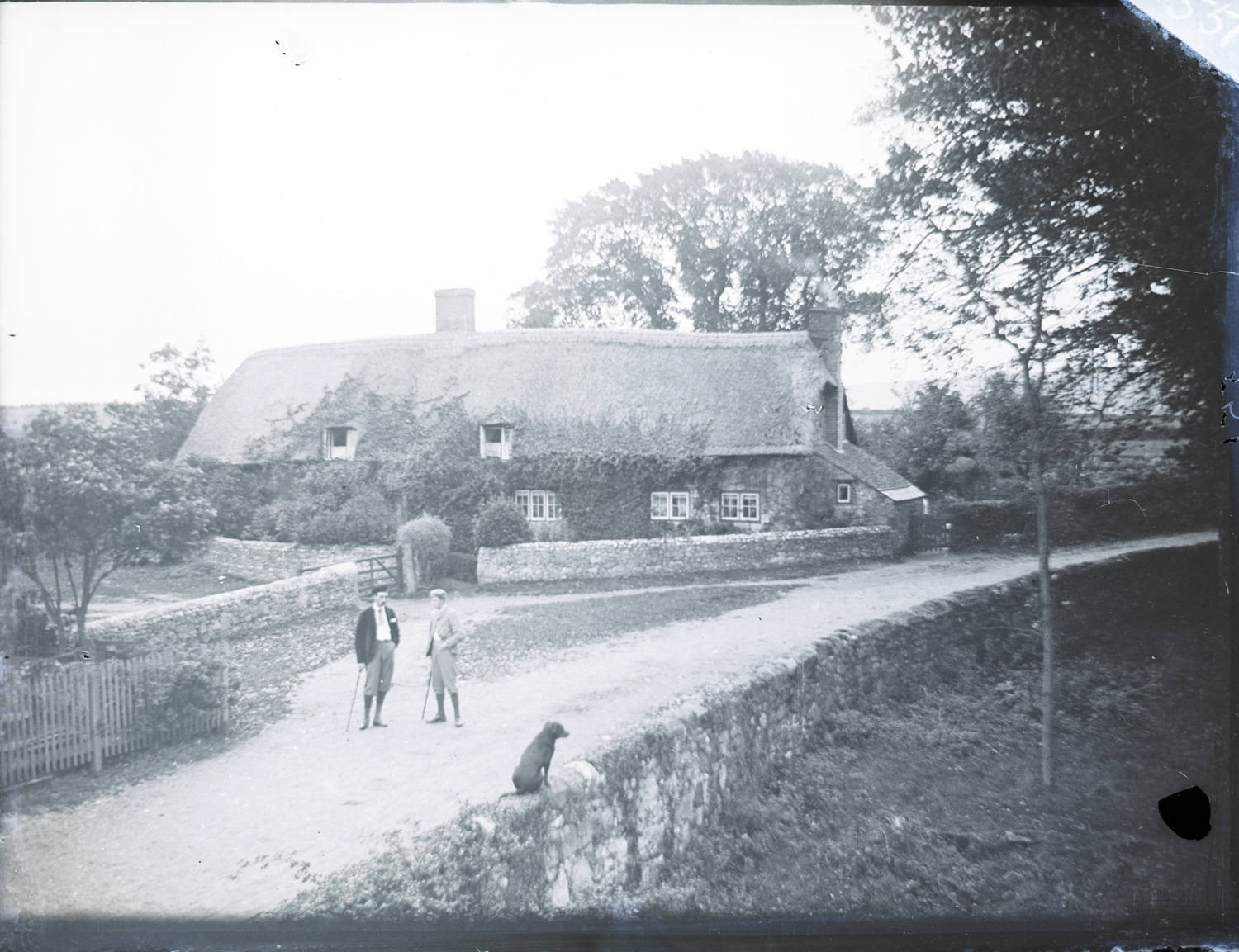
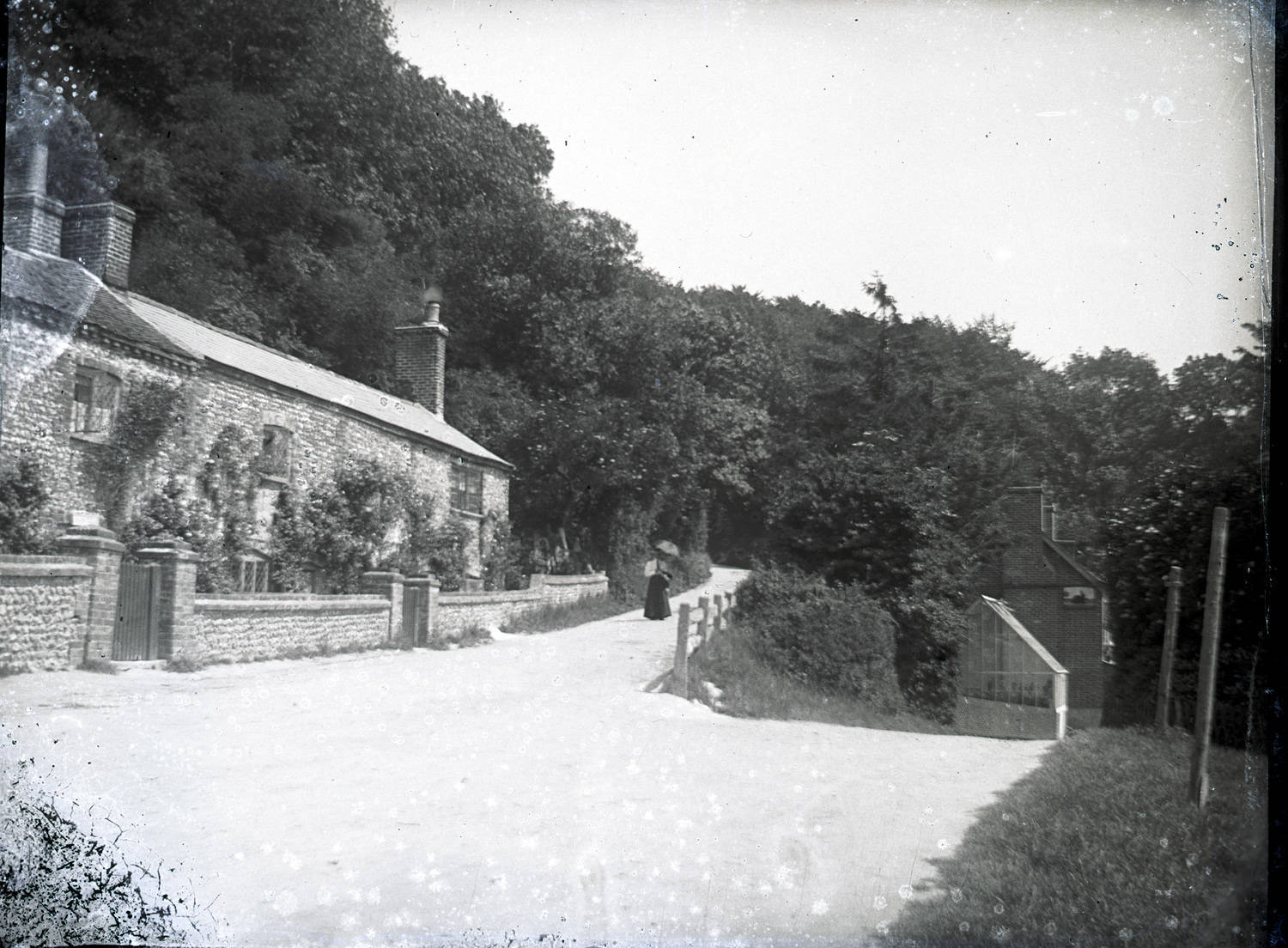
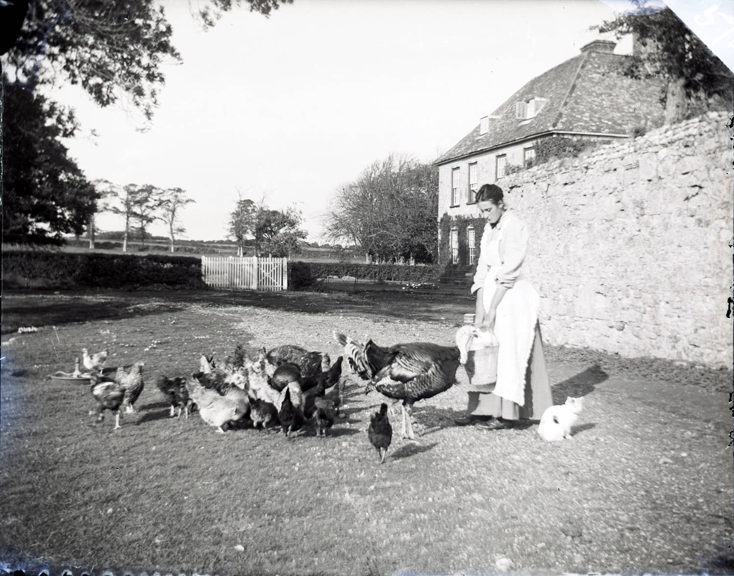
About the photographer
As well as being a talented photographer, James Dore was an original founder member of Sandown Fire Brigade and for 21 years he was the chairman of the management committee of Whitecroft Hospital. He introduced regular fetes and entertainment to hospital life and made many improvements for the well-being of patients and staff.
As a photographer, he exhibited at the World’s Fair Chicago in 1893 and won medals at many photographic exhibitions. He sold his magic lantern slides from his shop located at 27 High Street, Sandown, where he also sold and repaired watches, clocks and music boxes.
A selection of over 200 of the images can be viewed on the Isle of Wight Council website.






Here are my ideas
1. Havenstreet Railway looking back out of the entrance
2. Ventnor Cricket ground
3. The Long Cottage, Godshill
4. This is the z bend on Seven Sisters Road, Ventnor
No way is No.1 Havenstreet
Is that a tower visible in the top right corner, just over the rooftops? Large house, castle perhaps?
There is a WW1 memorial on the hill to the north of Havenstreet
Fabulous photos.
Could photo 3 of the thatched cottages be the Causeway in Freshwater?
It is, It’s ‘Afton Thatch’
This Afton thatch i used to clean this place .
What lovely photos, looks so sparse and peaceful compared to today.
I know it won’t be because it could be applied to lots of places, but No.1 really remains me of Ashey Road hill, Ryde looking up to Haylands at the top, with old cottages on right (where old cottages are today at the traffic calming area). Another mystery, where was Mr Dore perched when taking the No 1 photo?
Recommend looking at other photos in the collection following the link.
One thing’s for sure, Sandown looked a really nice place 100 years ago!
Picture 1. Potatoes are just starting to grow in vegetable patch by cottage so it was taken around June, The shadows are running right to left so the troop is marching in a westerly or north direction. The camera is on a elevated position possibly a bridge. with the large buildings in the back could it be around Colwell heading towards Totland but there are no bridges in the area!
Picture 5. Dodpits Farms
Number 4 is definitely on the Undercliff. The road coming from the right and proceeding behind the photograph is Seven Sisters Road. The road heading off in the middle of the photo is the bottom of St Lawrence’s Shute.
I agree that it looks very much like it, but did they Knock those cottages down when they built the station ?
1&4 Quay lane Brading?
6 Yarbridge?
The thatched cottage is at the causeway, Freshwater
I wonder if the thatch cottage is the bend near Sandford Garage. I think the other one I have an idea about is the junction of seven sisters and what I think is called st Lawrence shute
I wondered the same near Sandford too
1. Lake Hill, Barracks on top of hill.
2. Simieon Rec in Ryde or Fairway Park in Sandown with Broadway park in background.
Last one either Newchurch station or Merstone.
Can we have more of these photos to look at please.
I, and others enjoy looking at this stuff
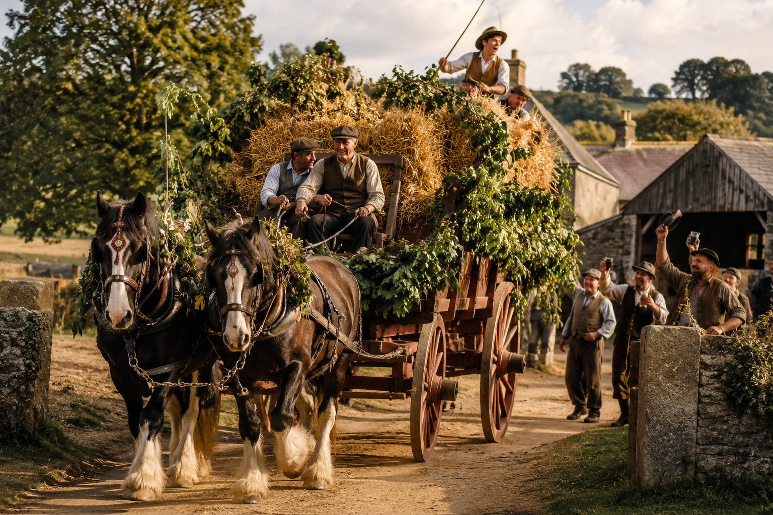
The picture with the horses, Shide maybe? Just a stab in the dark
Hi I think number 1 is Worsley Road in Newport off of Honey Hill?
Is no seven sisters road
I think the wooden railway halt is Blackwater with the river Medina in flood. There was a railway bridge over the Medina at the north end of the platform. A bridge is still there as part of the squirrel trail cycleway.
Good shout, that’s clearly Blackwater station taken from near Mole Country Stores on the main road – the cottage is on Sandy Lane and can be identified by the small window.
The first photo is undoubtedly Lake Hill, taken from the railway bridge at the bottom.