
























































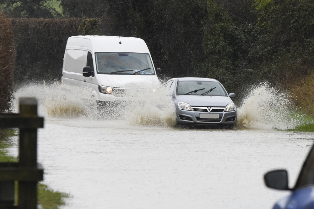

Islanders should prepare for 2 spells of severe weather over the next 48 hours, the first of which is set to hit the Isle of Wight this evening (Monday).
Forecasters at IW Met Service have issued a yellow weather warning for heavy rain, which is valid from 17:00 today right through until 02:00 on Wednesday.
It’s said that torrential downpours will develop later on today, perhaps accompanied by hail and thunder in some areas. Rainfall totals will be extremely variable with some spots seeing just a few millimetres worth, whereas other locations could see as much as 30mm falling over a short space of time.

A second adverse spell will begin on Tuesday afternoon. Forecasters say that showers are likely to merge into longer spells of heavy, sometimes torrential rain, again with the risk of thunder in places.
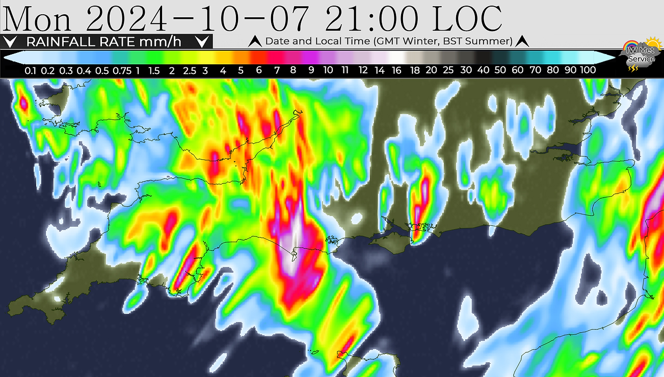
It also seems likely that the rain will be somewhat more widespread, meaning larger rainfall totals are possible over a wider area. Totals of 30-40mm are possible locally.
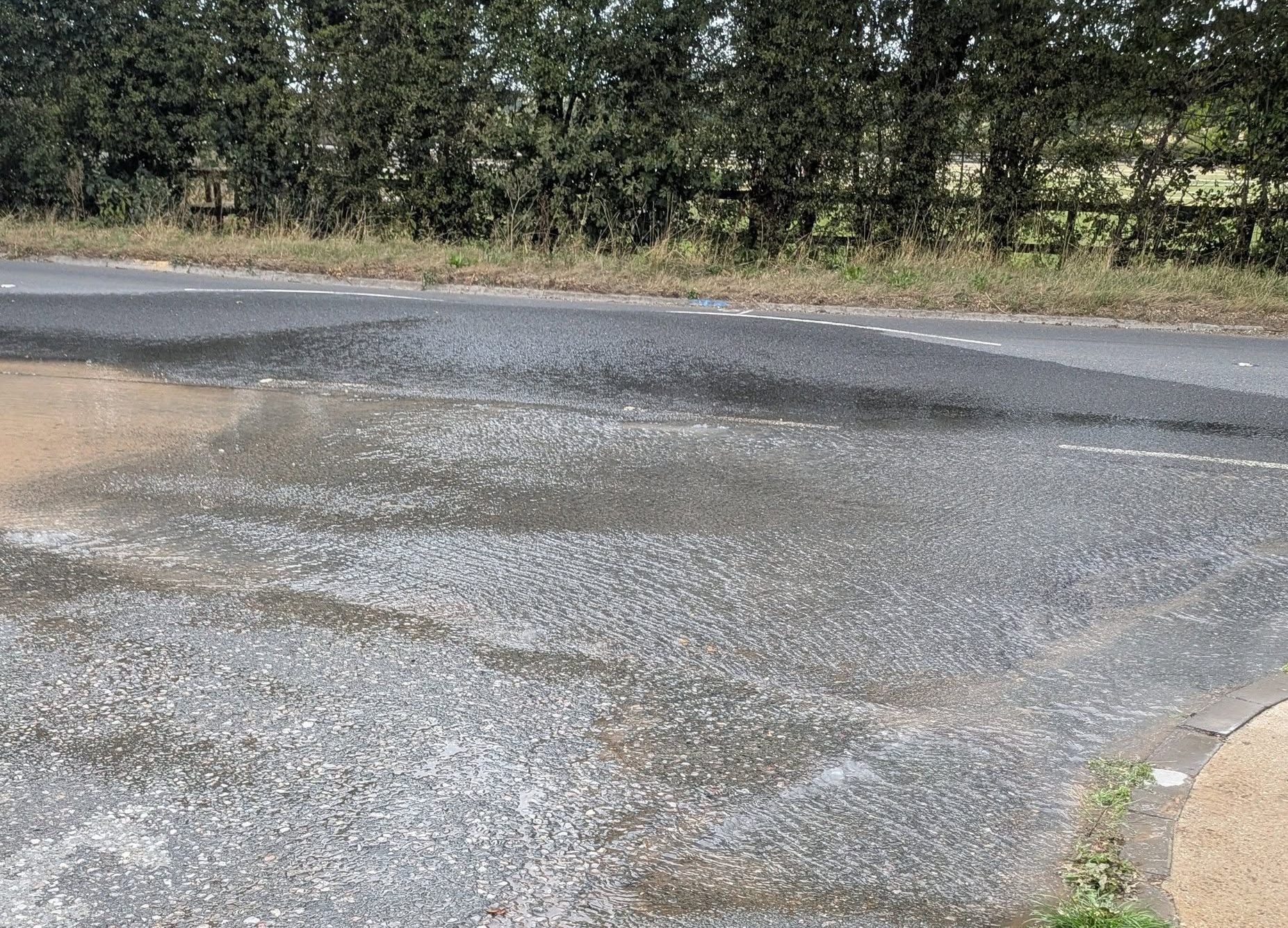
Between these times the Island may still see a few rogue showers, potentially heavy enough to produce localised flash flooding in places.














Don’t forget to keep the sluice gates open at Bembridge between tides!
Still awaiting the last 2 apocalyptic storms we were threatened with…