


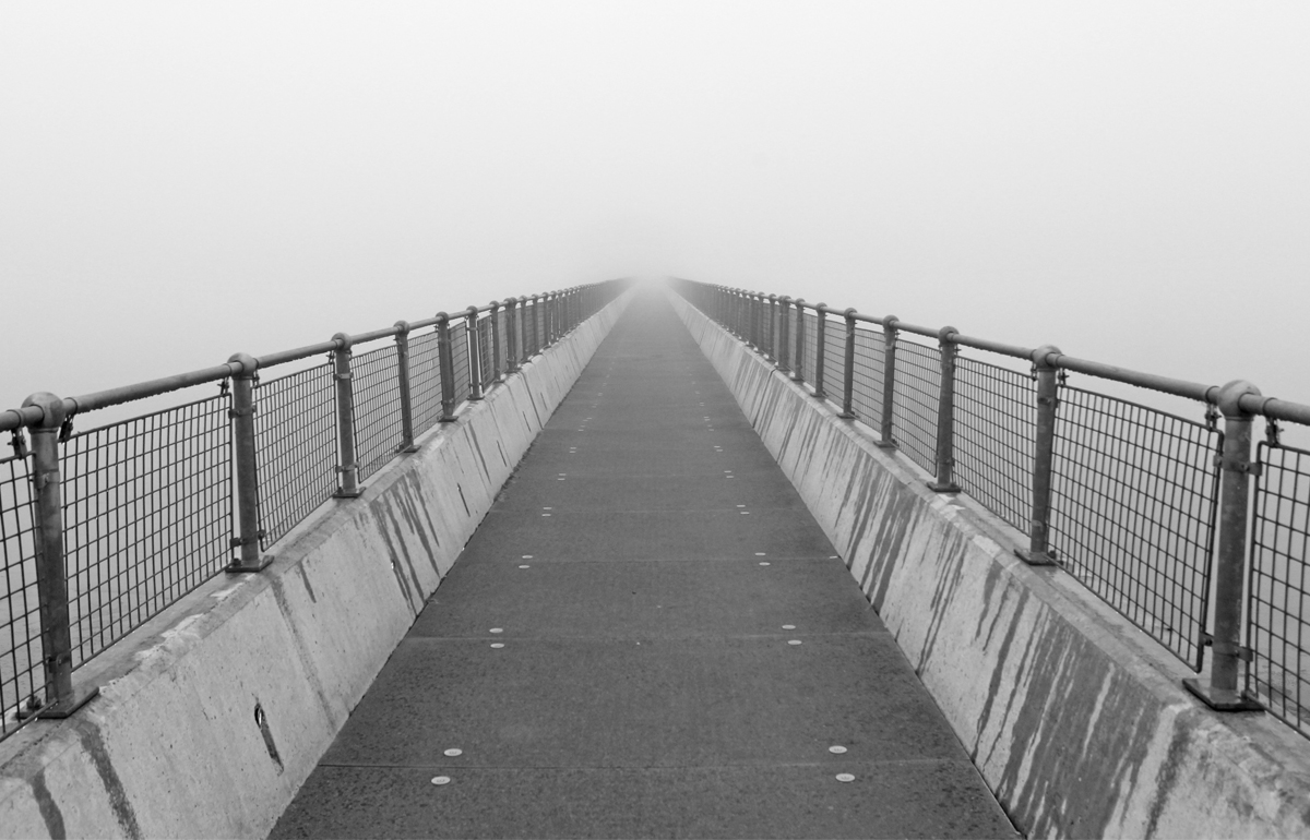

Forecasters are predicting that another blanket of fog will move in across the Isle of Wight overnight and into Wednesday morning, resulting in a yellow weather warning being issued.
IW Met Service says that fog will develop again after sunset, initially in low lying valleys, fields and marshland but becoming more extensive later in the night, especially towards dawn.
Very poor visibility is likely in some areas although the threat of freezing fog is much lower than last night.


As tomorrow dawns, fog will be lingering in many areas although slowly lifting in to low cloud as the day goes on. Hills and coastal areas may still experience poor visibility at times throughout tomorrow.
The warning is in force from 20:00 tonight until 14:00 on Wednesday 22nd 2020.
If you are concerned about the risk of freezing fog – as some places experienced last night and this morning – see the IW Met Service frost map at https://www.iwmetservice.co.uk/iceandfrost/.