






























































 Forecasters have issued a yellow weather warning for severe gales across the Isle of Wight this weekend and into the early hours of Monday morning.
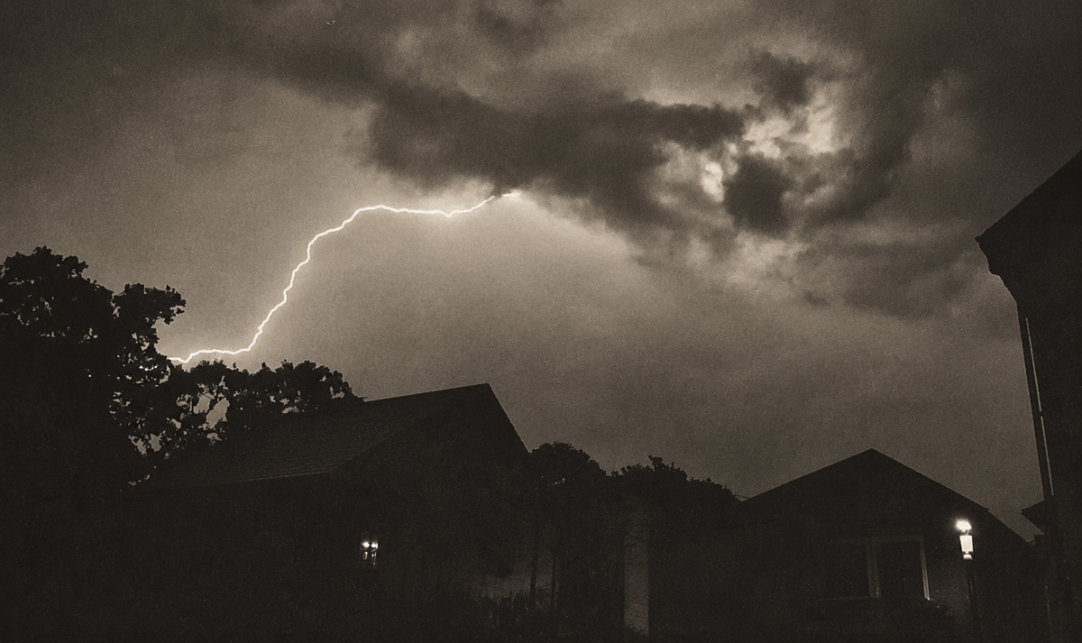
IW Met Service says that a spell of very strong winds will develop Saturday night and continue throughout Sunday and into the new week. Gusts of 60-70mph are likely in many places, possibly up to 80mph in more exposed hilly or coastal areas.
Rainfall is also expected across the weekend, but this is not expected to be significant. The largest amount of rainfall is expected at 09:00 on Sunday morning and again at 15:00 on Monday afternoon.


Islanders are warned that there is the risk of falling tree debris and travel disruption.
The current projections show the peak of the wind to be between 10:00 and 16:00 on Sunday.
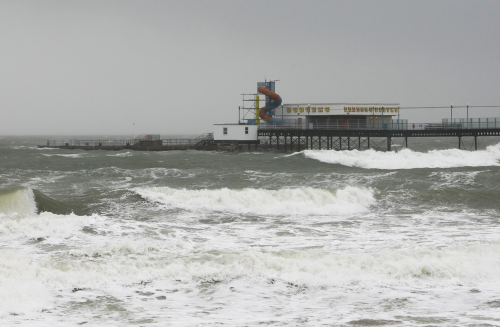
Extremely large waves are expected to impact the Island’s coasts throughout Sunday, with swell peaks in excess of 8 meters at times. It seems likely that a small to moderate storm surge will also develop of around 0.5 meters. This, combined with moderately high spring tides, may lead to some minor flooding along Solent coasts.
Over-topping waves will be seen along the West and South coasts of the Isle of Wight with sand, shingle and spray being thrown on to walkways and roads. The East coast will also see some large waves but somewhat smaller in height leading to less of an impact, although still potentially giving some rather dangerous walking conditions along promenades, particularly between Shanklin and Sandown.
The warning is in force from 22:00 on Saturday 8th until 06:00 on Monday 10th.




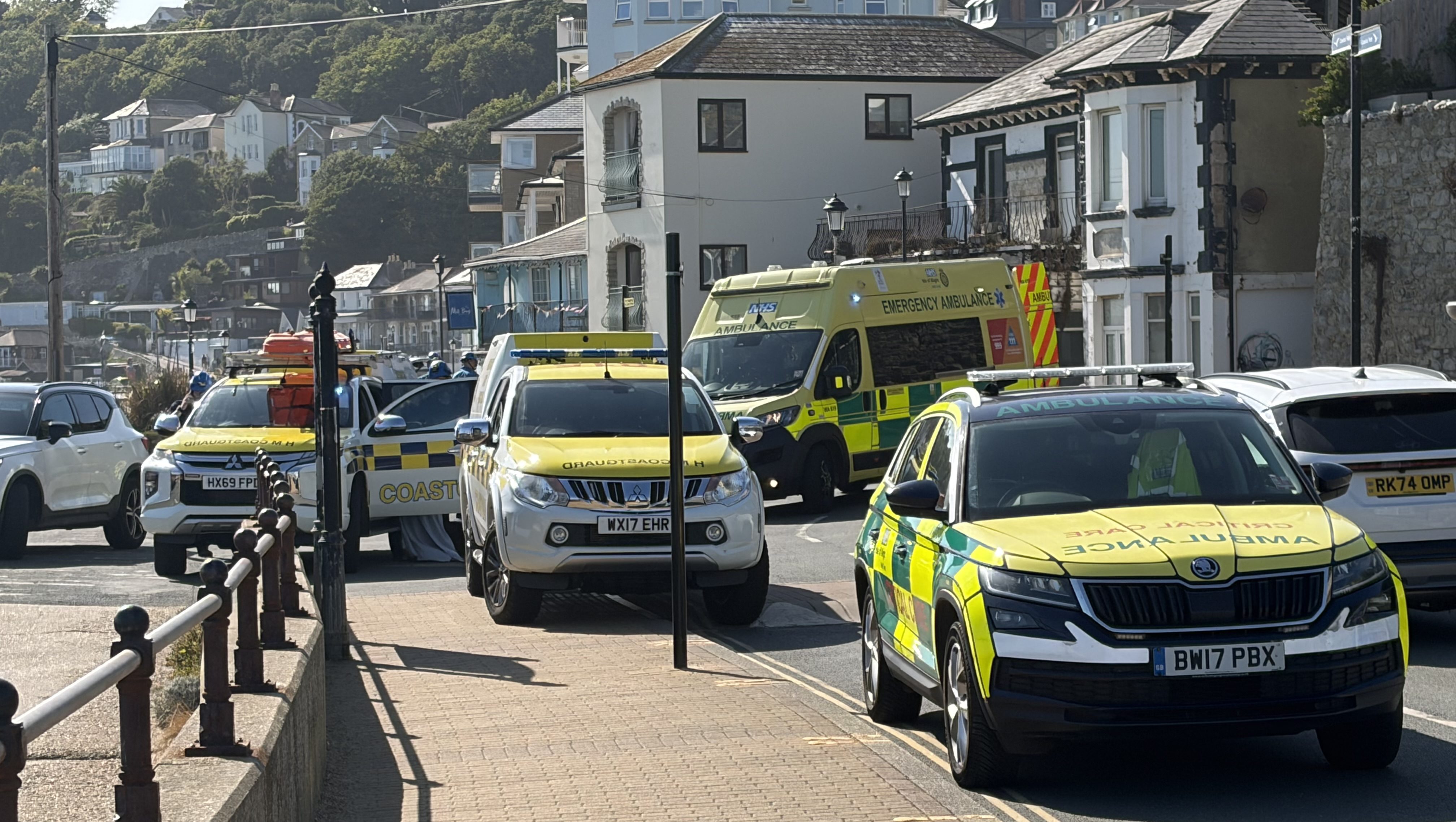
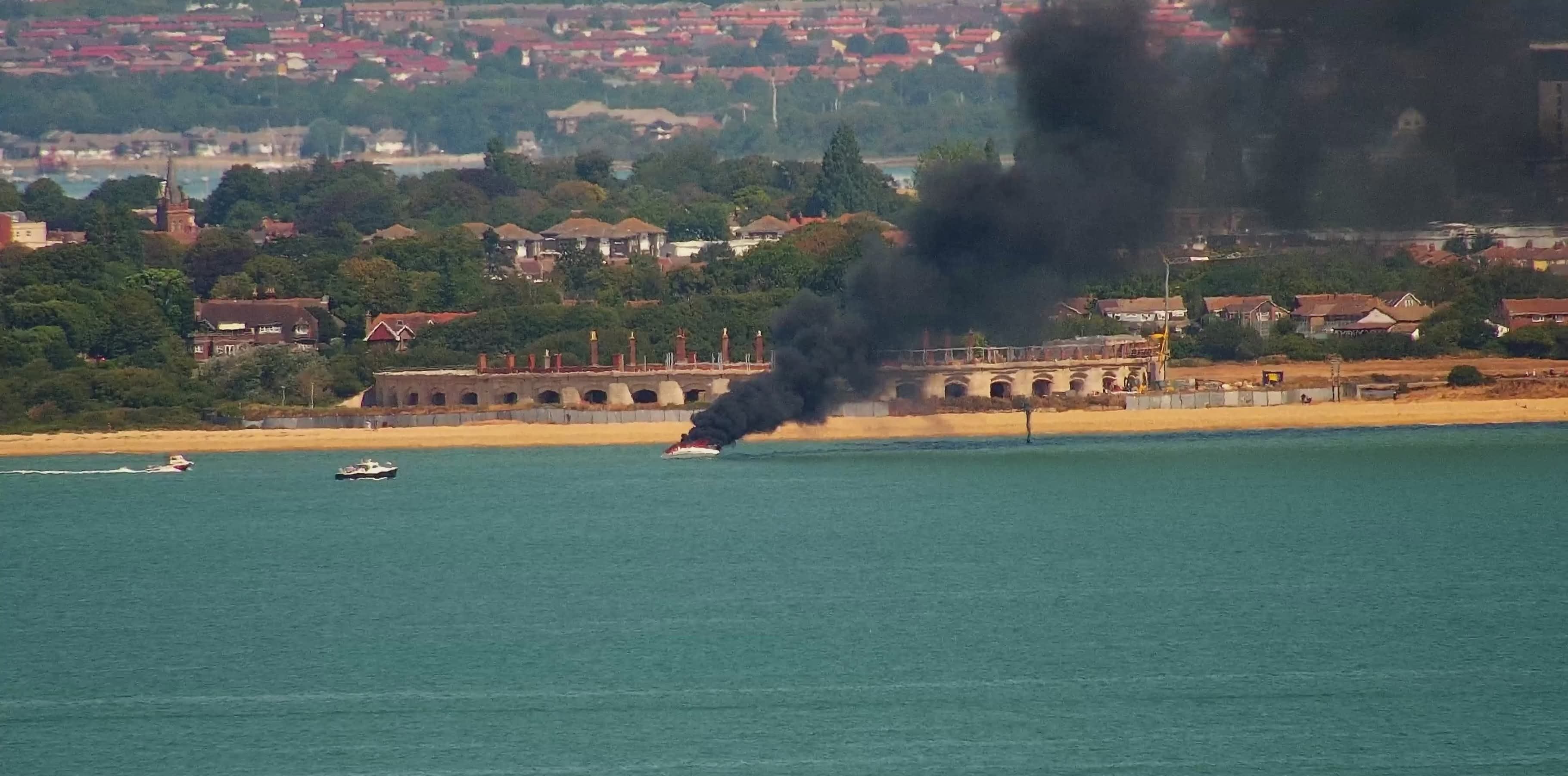








It won’t stop some people from walking and driving near danger spots, more emergency services being called out…..
Watch out everyone, it’ll knock your fecking hat off!