


















































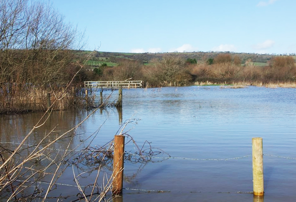

Flooding is possible across parts of the Isle of Wight today (Tuesday) as high river levels on the Eastern Yar raise concern for low-lying areas between Whitwell and Bembridge.
The Environment Agency has issued a flood alert following 10mm of rainfall over the past 24 hours, with river levels expected to remain high throughout the week.
Flooding is currently affecting low-lying land, roads, cycle tracks and footpaths near the river. Although no impacts are expected at Langbridge or Alverstone at this time, there is a risk of flooding in Sandown – particularly on Golf Links Road and Moreton Common Road – from this morning (Tuesday).


Ditches around Fort Holiday Park are also struggling to drain due to the elevated river levels.
A further 10mm of rain is forecast for the rest of today, with levels on the Eastern Yar expected to rise until tomorrow morning (Wednesday). No additional rainfall is currently forecast for Wednesday or Thursday.
The Environment Agency has confirmed that it is actively monitoring rainfall and river levels, and will continue to ensure the river remains free of reported blockages.
Residents in affected areas are advised to consider activating any flood protection measures they may have.