













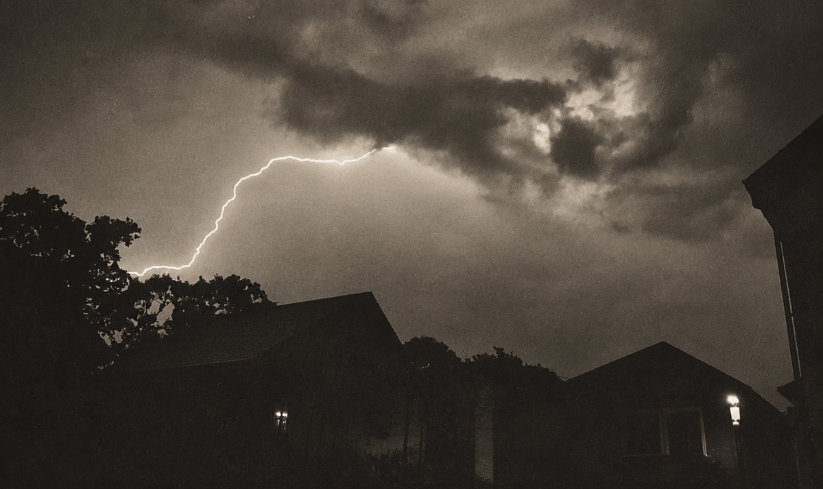












































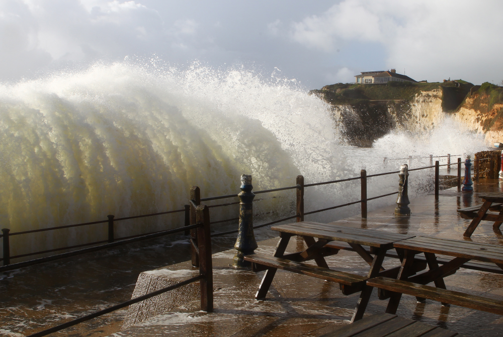

 Overtopping of sea defences is expected in Ryde, Sandown, Shanklin and Freshwater tomorrow (Sunday) as Storm Ciara is set to batter the Isle of Wight.
The Environment Agency has issued a flood alert for the Island’s coastline as Sunday morning’s tide at 10:51 will be affected by the Gale Force 8 South Westerly winds and large waves, which are expected to bring disruption and destruction to our shores.
An amber weather warning has already been issued by the IW Met Service. Island Echo will be providing live updates throughout tomorrow as the adverse weather hits.


According to the EA, the weather increases tide table values by 0.29m. The total forecast tide is 4.63 metres Chart Datum (2.04 mAOD) at Cowes.
Whilst tide levels are not overly high, for 1 to 2 hours either side of high water large waves will cause spray overtopping of sea defences across the exposed coast at Freshwater Bay, Sandown, Shanklin, Gurnard and Ryde. This may cause minor impact flooding to esplanades, sea front car parks and affect some roads.
As Cowes is sheltered from waves, impacts, if any, will be minimal in this location. Property flooding is not expected.
Islanders are being urged to avoid parking, walking or driving at exposed seafront locations around high tide.
On Monday‚ the tide at 11:37 will be much higher and further advice is to be issued.









And I bet there be some silly sods wanting to stand at the seafront with there kids to see the waves
Better not fly any police dromes then, but perhaps they could attach a few hooks and catch some fish..