


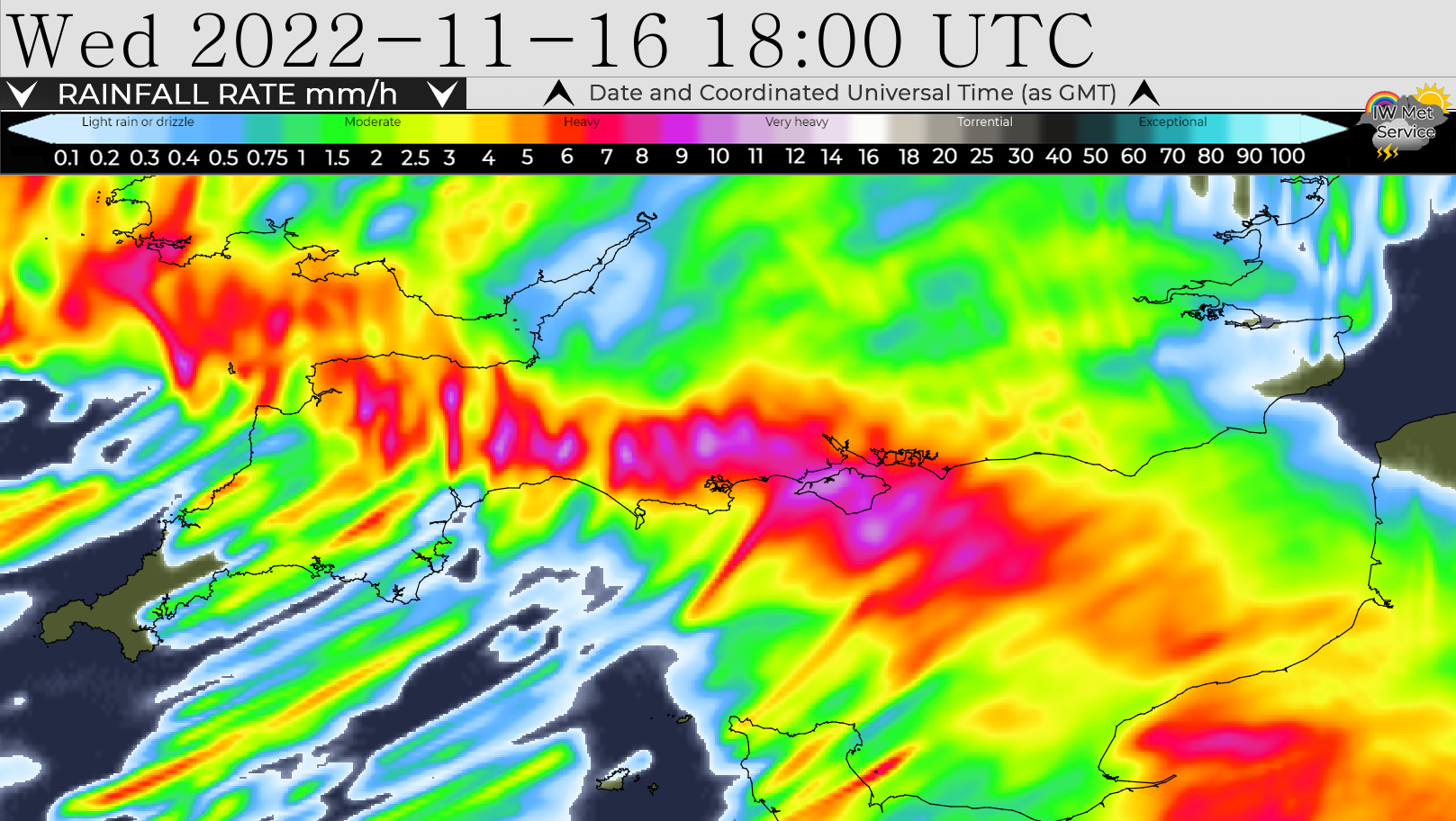
 Forecasters are warning of a weather system moving in that could bring 55mm of rainfall across the Isle of Wight throughout tomorrow (Wednesday), which has led to a new yellow weather warning being issued.
IW Met Service says that spells of persistent and heavy rain are expected across the Isle of Wight tomorrow afternoon. Rainfall totals of 20-25mm are likely fairly widely, with perhaps up to 35mm locally. Accompanying the rain will be some very strong and gusty winds of up to 60mph in places.
The main area of rain will clear away during the evening, only to be followed by further frequent and heavy showers, some of which will give some torrential downpours in places.


A further 10-15mm worth of rain may fall in some areas, perhaps even higher totals locally of up to 20mm, sometimes with large amounts of rain falling in a very short space of time. This means the Island could see 55mm of rainfall overall.
The showers will clear away during the early hours of Thursday morning but the wind will continue to be a problem as the week continues.
The yellow weather warning for heavy rain and flooding is in force from 16:00 tomorrow until 05:00 on Thursday.


Every year we get rainstorms in November so far we have had over 100mm less rain than last year… People seem to easily forget. they have 11 months to prepare.. but no… no one does squat… then they moan and moan… typical…
Look out everybody, Mr Perfect is back with his wise words of wisdom…or not!
Yeah,.. & every year, the Council & Island Roads have 11 months to sort out the drainage,.. but no…
are we still wrong to compain ?
It isn’t the amount of rain that has fallen long term, or even medium term. The issue is that this rain has been falling over fairly short periods of time, meaning that we get sudden “surges” of flooding after the rain events. The good news is that shorter spells of rain leads to more water running off the surface of the land and then having somewhat less impact on the water table, but the bad news is that it causes more frequent flash flooding, so even if rivers dont burst their banks, we end up with flooding elsewhere.
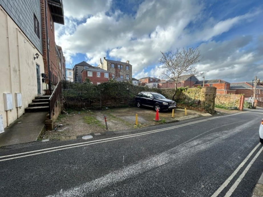
Trying to work out where this picture was taken? Useful to know so I can avoid!
Ayers Rock, Australia or (Uluru)…
They old pics! They use it multiple times on here
It is on ventnor road as you leave whitwell
I don’t need a weather man to tell me when it’s pissing down.
Which is great because the reason for the warnings wont impact you, and thats what we like to hear! The actual idea is to warn people whos homes, properties, animals etc are at risk. It warns that there will be more flooding likely which in turn will keep people alert to reports on flooded roads, which will then reduce delays when travelling, especially when its work related.
All warnings have their place, so just because it doesn’t affect youf life, doesn’t mean it wont affect other peoples.
Blimey. If it carries on like this, they might lift the hosepipe ban!
The hosepipe ban that was lifted on 4th November?