

















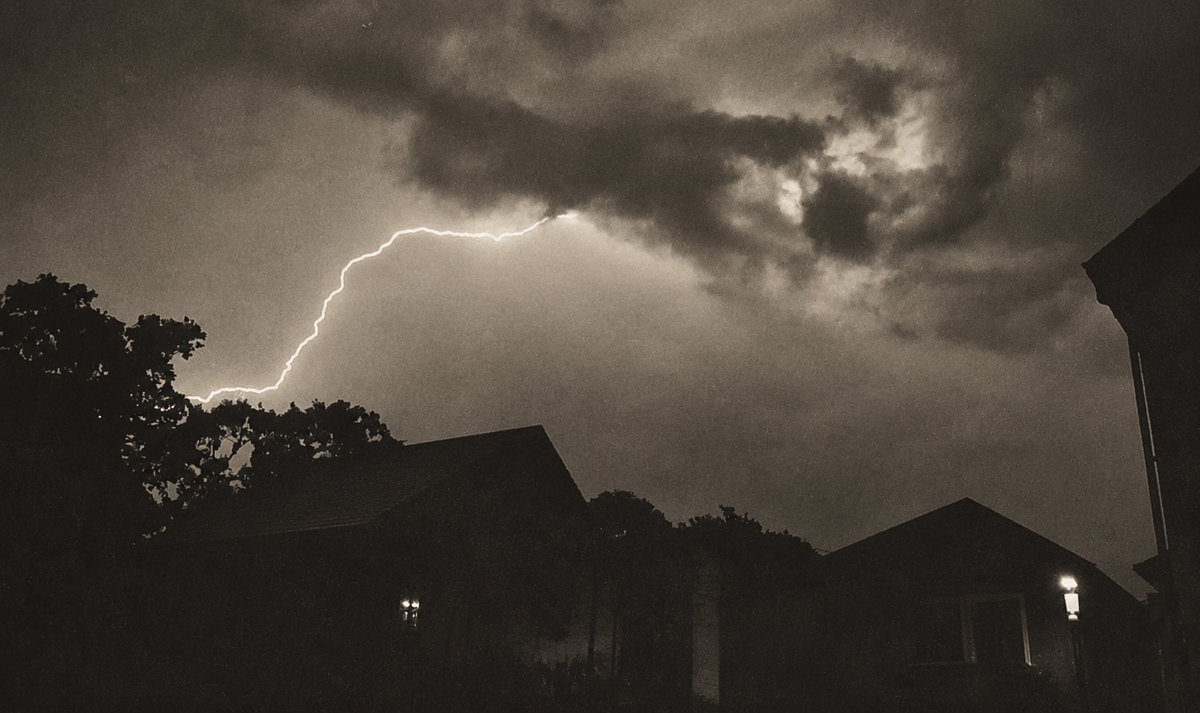



























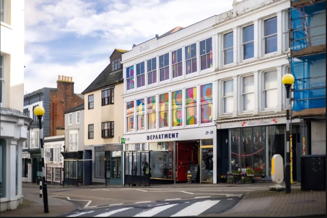




















 IW Met Service has issued another weather warning for the Isle of Wight, with torrential downpours expected between 17:00 and midnight today (Thursday).
According to forecasters, showers will develop late this afternoon and will become frequent and heavy during the evening, with the risk of hail and thunder mixed in.
Rainfall totals will be highly variable with some parts seeing up to 30mm or 40mm of rainfall, whereas other locations could see as little as 3mm to 5mm worth.


Overall there is a general flood risk as downpours combined with last night’s rainfall will elevate rivers even further. As previously reported, the Environment Agency has issued a flood alert for the Eastern Yar.
Although a Met Office warning suggests bad conditions until sunrise on Friday, IW Met Service predicts that the showers will clear to the South after midnight.
Islanders should be aware of the risk of localised flash flooding in the usual locations, as well as leaves and surface water creating slippery driving conditions. Soil, stones and other run-off debris will affect some areas, especially in more rural parts.









Hose pipe ban still
Beat me to that one lol….
And what about washing my car ?????
No, it’s not. The hosepipe ban has been lifted in Hampshire and the Isle of Wight. Even states it in an article on this site.