































































 Heavy rain showers are expected to drench the Isle of Wight throughout today (Monday), according to local forecasters IW Met Service.
By late morning or early afternoon, heavy showers are likely to develop with the potential of up to 25mm of rainfall possible locally, some of which may fall in the same locations that received over 20mm during the early hours of this morning. This could potentially lead to some bank breaching of small streams and brooks on a local scale.
The heaviest showers are likely in more Eastern and North-Eastern parts of the Island with locations further South and West less at risk from the heaviest downpours. Some locations may miss out altogether.


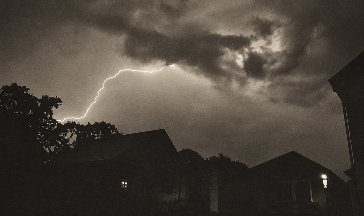
There is the additional risk of hail and perhaps the odd rumble of thunder too.
Forecasters have issued a yellow weather warning which is valid from 11:00 this morning until 16:00 this afternoon.
IW Met Service are the official weather forecasting partners of Island Echo. With exclusive briefings on upcoming weather, Island Echo is the best place to get all the latest, accurate Isle of Wight weather news as it breaks.











Doubt it! Normally straight past us then storms on the mainland. Yawn
Yep still waiting as usual
The only thing they can forecast is, it’s going to get later!!!!