






























































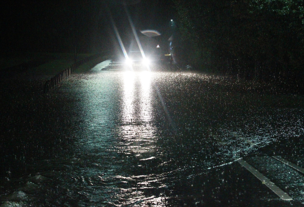

Another yellow weather warning for heavy rain has been issued for the Isle of Wight, with a further 30mm of rainfall possible on Wednesday evening.
Flooding could well return across the Island as IW Met Service warns that a large area of heavy and persistent rain is set to track across southern parts of the UK through tomorrow evening.
Rainfall totals of 15-20mm are expected, with localised amounts potentially a little higher. While this level of rain would not usually justify a warning, the already high water table means there is an increased risk of further flooding.


Forecasters say there is a continued risk of rivers and streams breaching their banks, which could once again lead to flooding in some of the usual prone locations.
Road users are being warned to expect widespread surface water, with large puddles forming on many roads and potentially hazardous driving conditions.
The warning will be in force from 17:00 until 23:00 on Wednesday.
In more rural parts of the Isle of Wight, soil, silt and shingle may be washed across roads and walkways as rainfall intensifies.
Polluted stormwater runoff may also affect beaches around the Isle of Wight during and after the period of heavy rain.

Residents are advised to remain vigilant, take care when travelling, and be prepared for possible disruption during the warning period.











Strange how the Met Office have not issued a yellow warning for rain on the Island???
Or the mysterious green flash in the skies tonight,
maybe aliens have landed, it does make one wonder
the way things are run thesedays!.
The roads are treacherous yet numpties are still
speeding.