




























































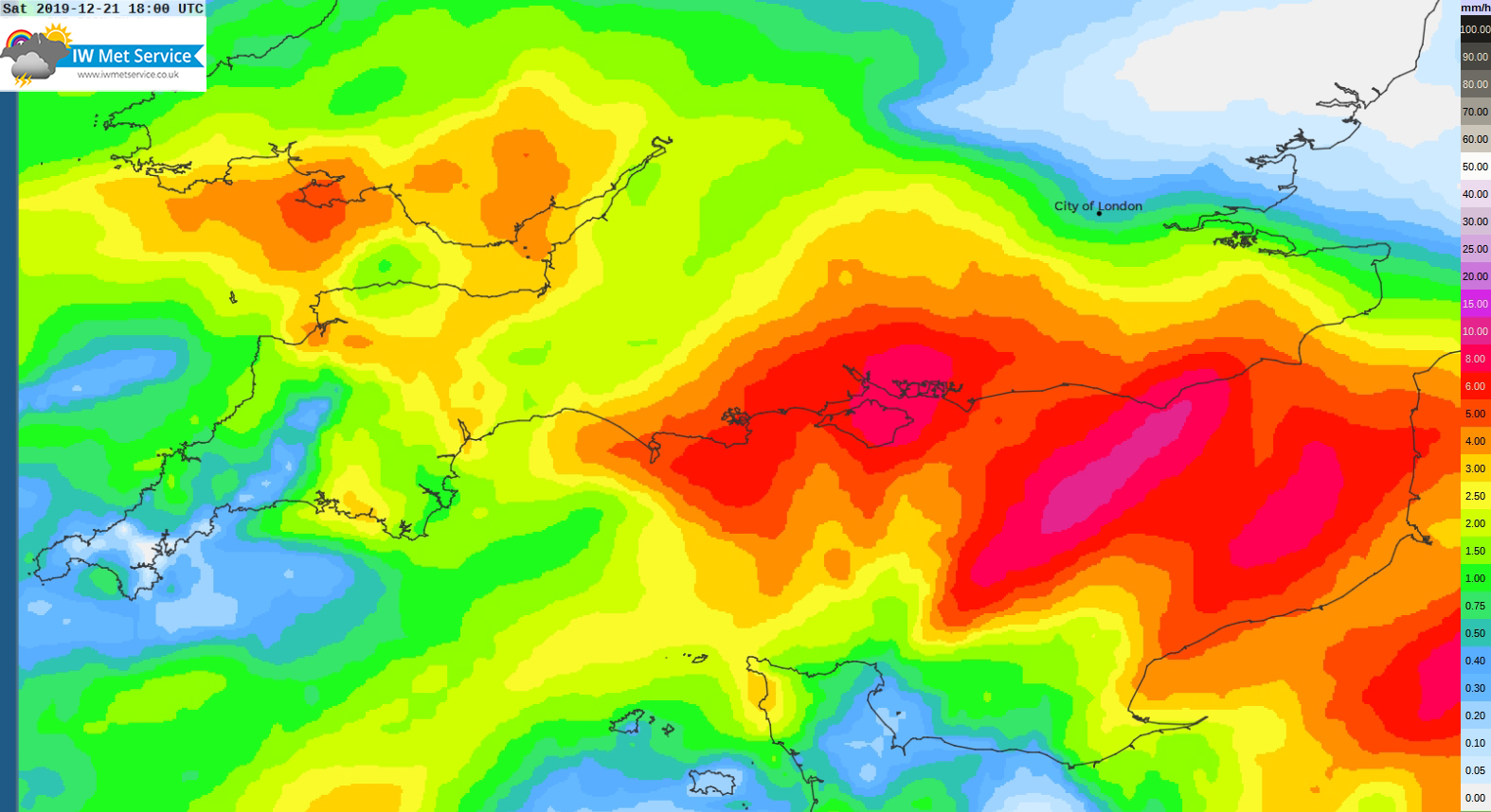
A yellow weather warning for heavy rain over the coming days has been issued by IW Met Service.
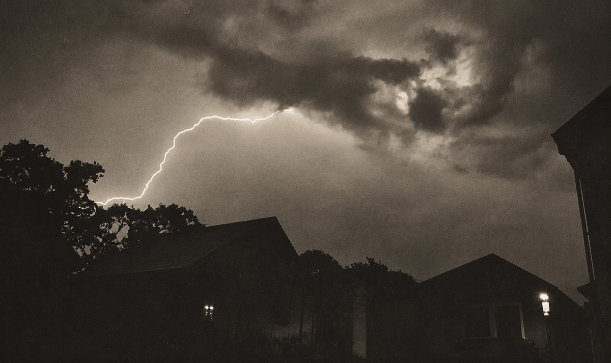
Multiple spells of heavy, persistent and sometimes thundery rain will push up from the south through tonight (Wednesday), Thursday and Friday – with another spell from the southwest on Saturday.
Tonight will see spells of rain across the Island but the heaviest rain looks likely to affect areas just to the west of the Island. 5-10mm of rainfall is possible.


The second significant spell of rain will arrive Thursday afternoon/evening with 10-15mm of rainfall possible, as well as some heavier downpours mixed in giving 20-25mm locally. This will lead to localised flash flooding as well as an increase in river levels leading to the potential breaching of some river banks.
The next spell arrives Thursday night and into Friday morning and although this third spell looks heaviest to the east of the Island, forecasters are still likely to see some heavy spells of rain with a further 8-12mm possible. If the rain pushes a little further west the Island could see 20-30mm of rainfall.
Throughout Friday and Friday night there looks set to be localised showers that could bring a further 5-10mm locally.
The 4th spell of rain moves through on Saturday evening/night and this is likely to bring a further 15-20mm worth of rainfall Saturday afternoon/evening, as well as the risk of localised flash flooding.
Due to the longevity and quantity of rainfall over the coming days, there is the potential of significant flooding in many of the susceptible rivers and valleys.

The warning is valid from 20:00 on Wednesday 18th December until 23:00 on Saturday 21st December.
UPDATE FRIDAY – Forecasters have extended the weather warning period until 02:00 on Sunday 22nd December.
The latest update states that heavy showers throughout this evening and overnight will exacerbate the already high water levels of some of the Island’s rivers, which will prevent the water levels from dropping substantially over the next 48 hours. This may even cause a slight increase in some parts, especially central and eastern parts of the Eastern Yar.
Some of the heavier downpours may well lead to temporarily flooded roads and walkways on a local scale.
During Saturday afternoon another spell of rain is likely and there is the risk of it being persistent and rather heavy at times leading to further flooding in places.











ALL THIS RAIN ,BUT INSTEAD OF PROCESSING THE WATER AND STOREING IT THE WATER BOARD WILL PUMP IT INTO THE SEA . YOU CAN BET WE WILL HAVE WATER SHORTAGES IN SUMMER 2020 .
Saves me washing my car until the new year, banging result!!!
if island roads cleaned the drains, ditches and quartered the highways properly the rain water might dissapper quicker.