




















































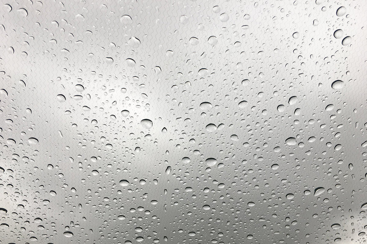

 A yellow weather warning for heavy rain has been issued for the Isle of Wight for Wednesday night and into early Thursday morning.
Forecasters at IW Met Service say that an area of heavy rain will reach the Island through Wednesday evening and continue until early Thursday morning.
15-20mm of rainfall is possible over the space of a few hours and this, combined with the already high water table, could lead to some localised flooding in the usual prone areas as well as some temporary road flooding during the heaviest spells of rain.


Jamie Russell, Chief Forecaster at IW Met Service, explains:
“The current model projections are pointing to the rain clearing during the early hours of Thursday morning and pivoting to the north of the Island. The uncertain part of the forecast is where this pivot point develops.
“If the pivot point is a little further south than the models suggest, the rain could continue throughout Thursday leading to rainfall totals of in excess of 30mm, but at the moment it looks like the pivot point will be to the north of the island, therefore keeping the more persistent heavy rain on the mainland for Thursday daytime”.
The warning will come into force at 18:00 tomorrow (Wednesday 13th November) and will remain active until 06:00 on Thursday.













Wow, that will be a change for this miserable climate. If it weren’t for the free rent, council tax and benefits, few would ever bother to come here.
You sir are rediculous
All these weather warnings are nothing more than scare mongering. Total rainfalls in excess of 30mm indeed! That’s an inch in old money. Snowflakes! They cause problems.
Ok boomer
Nothing compared to what coming in 10 days time.