



















































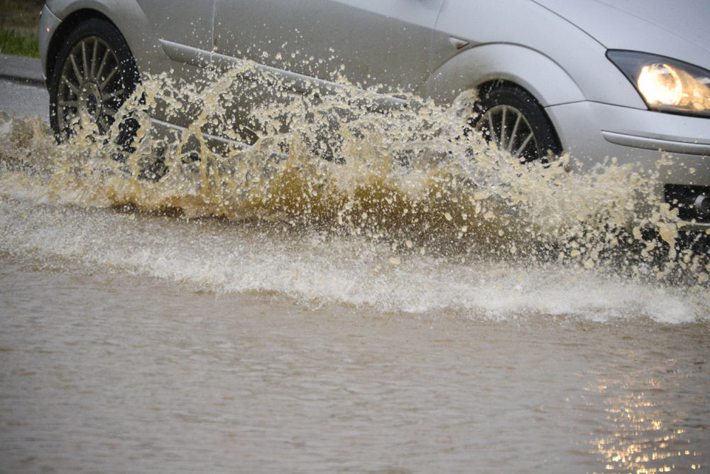

A flood alert has been issued for parts of the Isle of Wight, with the Environment Agency warning that flooding is possible along the Eastern Yar and its tributaries from Whitwell to Bembridge.
High river levels combined with further heavy rainfall forecast for tomorrow (Monday) could lead to flooding of low-lying land, roads, cycle tracks and footpaths close to the river.
Around 20mm of rain is forecast, with further rainfall expected to begin from around 15:00. River levels remain elevated following persistent rainfall over recent weeks, increasing the risk of impacts during Monday evening.


At Langbridge and Alverstone, the Eastern Yar is expected to be close to bank full. If river level thresholds are reached at Sandown, flooding of Golf Links Road and Morton Common Road could occur from around 20:00 on Monday.
The Environment Agency has also warned that ditches around Fort Holiday Park may struggle to drain while river levels remain high. Additional rainfall is forecast later in the week on Thursday, which could prolong or worsen conditions.
Officers are currently checking rivers for blockages and operating the Bembridge sluices to help manage water levels.
Residents in affected areas, including Alverstone, are being advised to consider activating any flood protection products they may have in place.













I am hoping that this will open the eyes of so called house builders, to see flood areas, especially where they want to build on. Also for the buyers to be wary of the flood plains…how about the council making a new map of where places are subject to flooding !!