











































 The official traffic plan for this year’s Isle of Wight Festival has been confirmed ahead of next week’s sell-out event.
The Isle of Wight Council, Island Roads and Hampshire Constabulary have once again been working closely with festival organisers to ensure traffic flows smoothly and disruption is kept to a minimum.
The main route for festival traffic from the Red Funnel terminal in East Cowes will be up York Avenue and along Whippingham Road, where it will turn right onto East Cowes Road and into the festival car park.

Festival-bound vehicles travelling from the Wightlink terminal at Fishbourne will be directed to the right onto Kite Hill, through Wootton, down Lushington Hill and right at the Racecourse roundabout and then left onto East Cowes Road and into the festival car park.
People requiring access to Newport Quay will be required to use the bridge and avoid going through Seaclose Park.
As usual, there will be a one-way system in place along Fairlee Road from lunchtime on Wednesday 14th June. All outbound traffic from Newport will be directed up Staplers Road.
If any of the entrances to the car parks are temporarily blocked, or an incident occurs on any of the roads being used by festival traffic, there are a number of diversion options where festival traffic can be temporarily ‘stacked’ away from the main roads and released into the network once the problem has been resolved.
The council asks that residents plan their routes carefully to avoid the designated festival traffic routes on the Wednesday, Thursday, Friday and Monday of the event — when traffic volumes will be their highest.

Floating Bridge Festival timetable
The following timetable will operate over the Festival Weekend from Thursday 15th June 2023 to Sunday 18th June 2022. Any current updates can be found at the Floating Bridge website Isle Of Wight (iwfloatingbridge.co.uk)
Cowes
- Thursday 15th June – First ferry 05:00 Last ferry 01:25
- Friday 16th June – First ferry 05:00 Last ferry 01:25
- Saturday 17th June – First ferry 05:00 Last ferry 01:25
- Sunday 18th June – First ferry 06:30 Last ferry 00:55
East Cowes
- Thursday 15th June – First Ferry 05:10 Last ferry 01:20
- Friday 16th June – First ferry 05:10 Last ferry 01:20
- Saturday 17th June – First ferry 05:10 Last ferry 01:20
- Sunday 18th June – First ferry 06:40 Last ferry 00:50






I be high as a kite driving through people
Smoke weed every day
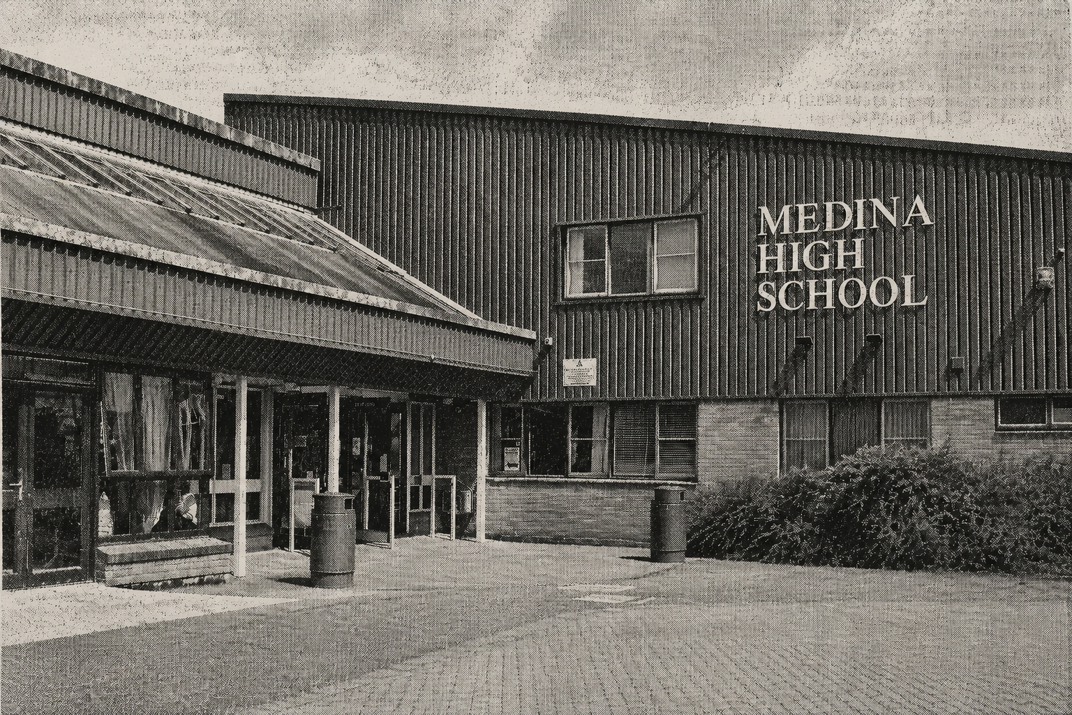
Two very vague locations on that ‘map’. Where exactly is the pedestrian entrance, it looks as though it might be at the High School, is it ? equally vague is the Bus Station.
Its not even started i will be glad when its over.
Let’s move on.
The floating bridge times are merely a suggestion until the inevitable breakdown/ grounding/ sick crew etc etc
“The council asks that residents plan their routes carefully to avoid the designated festival traffic routes on the Wednesday, Thursday, Friday and Monday of the event — when traffic volumes will be their highest.”
I’m very happy to take alternative modes of transportation to not clog the roads. Any cycling path or at least pavement from East Cowes to Staplers Road? Google Street View seem to show nothing but maybe it’s just old? I need to access business there.
Here we go- Gridlock because all cars coming off red funnel are being told by the council to turn right into East Cowes road. Why don’t they think about it and send all Festival traffic up to the racecourse roundabout all the way around and back down so you turn left into East cowes Road
it’s not rocket science
Looks like a new roundabout has been added to get to Yarmouth, Freshwater or the College.