






























































 A yellow weather warning is in force for the Isle of Wight today (Monday) with torrential downpours expected this afternoon, alongside the risk of thunder.
IW Met Service has issued the warning for heavy rain as up to 30mm is expected to fall throughout the day. The warning is in force until 23:00 tonight.
The rain is expected to keep at bay for a time this morning before further showers – like the ones seen overnight – develop. Local torrential downpours are expected as we move into the afternoon, with amounts varying from a few millimetres to over 30mm.


This afternoon’s showers come with the risk of the odd rumble of thunder, as well as the risk of funnel clouds or waterspouts developing. This is because the conditions are ‘conductive’.
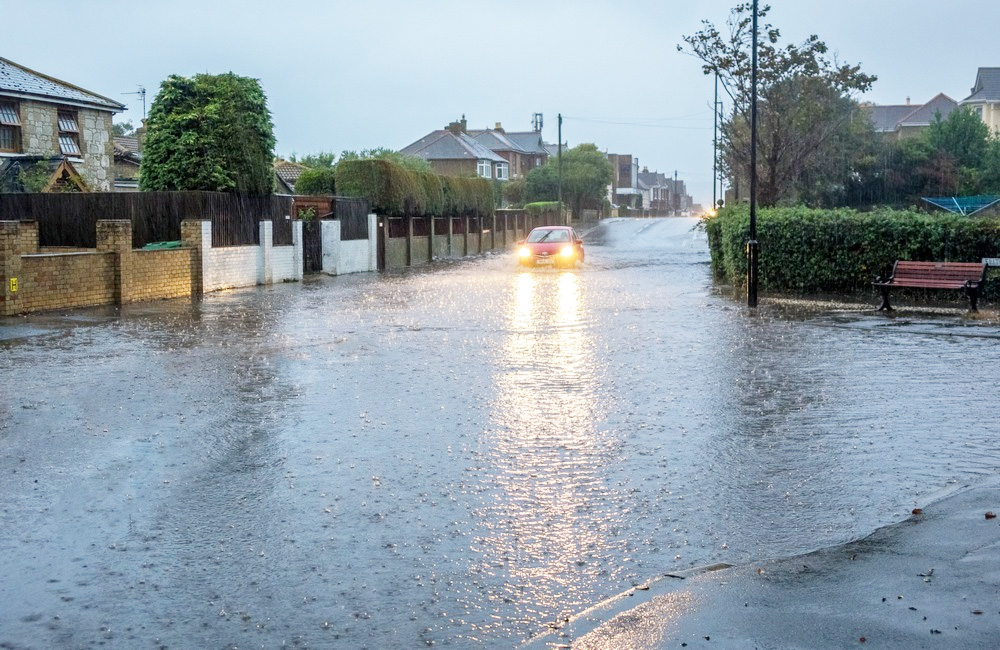
Flash flooding of roads and properties is a risk, with the roads expected to become debris-stricken by any run-off debris.
Forecasters say there is a risk of some breaching of river banks in some areas, as well as potential stormwater sewage outfall in Northern, Eastern and Southern parts of the Island.