





















































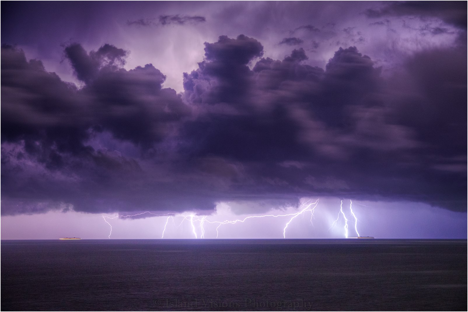

 VIDEO: Islanders are being warned about thunderstorms this evening and throughout Thursday, with the potential for torrential rain and frequent lightning.
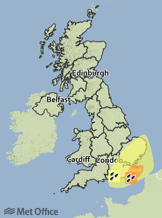
The Met Office have issued a yellow weather warning from 18:00 tonight until 06:00 on Friday morning and say that increasingly warm and humid air arriving from France is expected to bring with it a risk of thunderstorms. These thunderstorms are likely to occur in a couple of main waves until early Thursday and a second wave breaking out later on Thursday afternoon onwards into Thursday night.
Local forecaster Jamie Russell of Isle of Wight Weather says most of the thunderstorms will likely be to the East of the Island, but if the Western edge of the thunderstorm hits then hail is likely. The Met Office say 30mm or more of rain could fall in an hour and locally in excess of 50mm is possible in just 2 or 3 hours.

In Kent, an amber weather warning has been issued for heavy rain.
Featured photo: Jamie Russell/Island Visions Photography