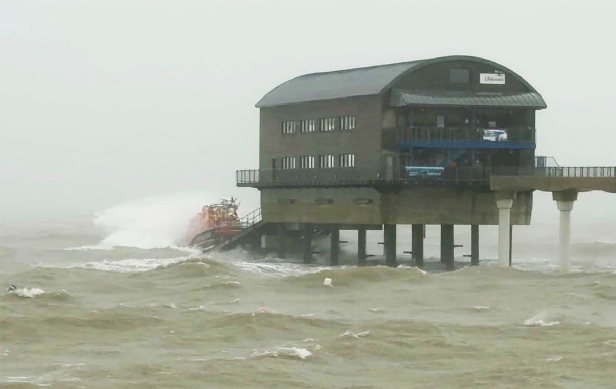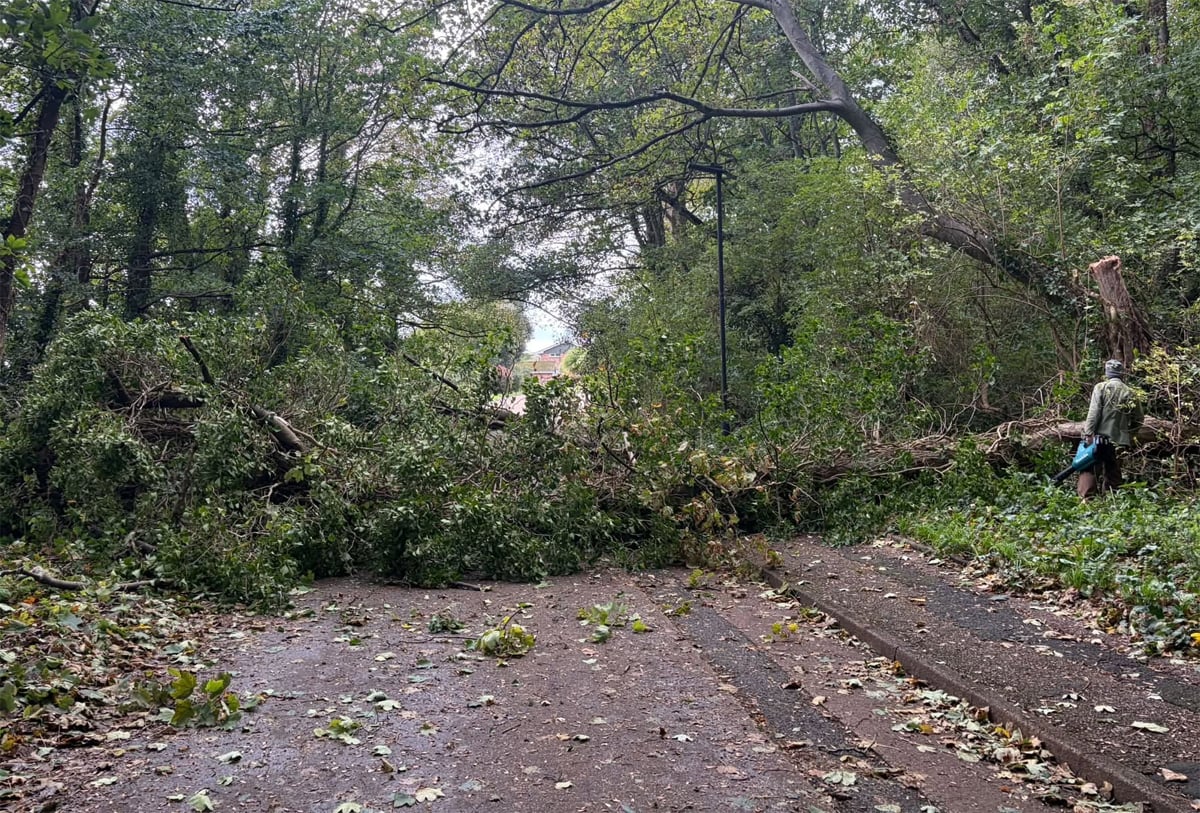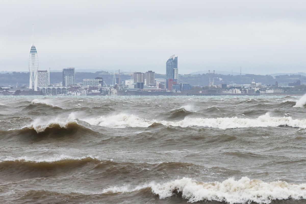




























































A flood alert has been issued for the entire Isle of Wight coastline, with seafront roads, car parks and esplanades at risk of flooding tonight (Saturday) as Storm Boelo continues to batter the Island.
The Environment Agency has warned that high tides, strong winds and large waves could combine to cause coastal flooding at several locations, including Yarmouth, Freshwater Bay, Sandown, Shanklin, Gurnard and Ryde.
The alert, issued at 15:00 this afternoon, warns that flooding is possible for an hour either side of tonight’s high tide at 22:35, meaning the greatest risk will be between approximately 21:35 and 23:35.


Storm Boelo is expected to increase predicted tide levels by around 45cm, with a total forecast tide height of 4.52 metres above Chart Datum at Cowes.
Strong Force 6 westerly winds will generate large waves, which are expected to overtop and wash over sea defences along exposed stretches of the Island’s coastline.
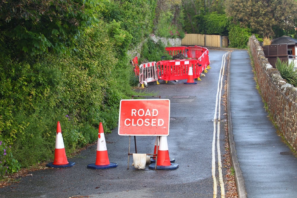
According to the Environment Agency, this could lead to flooding of esplanades, seafront car parks and coastal roads in the affected locations.
Importantly, the Environment Agency says it does not currently expect flooding of properties.
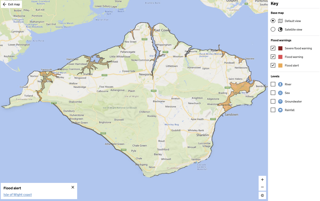

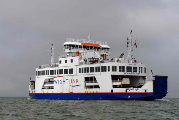
The flood alert comes as the Isle of Wight faces another battering from severe weather, with Storm Boelo arriving hot on the heels of Storm Austen, which caused widespread disruption to cross-Solent ferry services yesterday.
The Met Office has warned that Storm Boelo will bring strong and potentially damaging winds across the UK this weekend, with gusts of 50-60mph possible in some areas outside the most severe warning zones.
The latest coastal alert also comes after Island Echo reported yesterday that up to 40mm of rainfall could fall across the Island this weekend.
IW Met Service has warned that persistent and heavy rain is expected throughout Saturday afternoon and evening, continuing into the early hours of Sunday morning.
Rainfall totals of between 20mm and 25mm are possible across many parts of the Isle of Wight, with some areas potentially seeing between 30mm and 40mm.
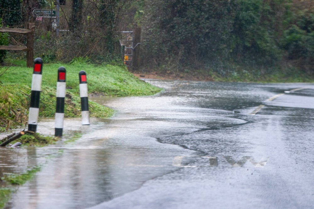
The heavy downpours could cause surface water flooding on roads, while rivers and streams may overtop their banks, adding to the risk of flooding across the Island.
The Environment Agency says it is closely monitoring the situation and is advising those in vulnerable coastal locations to consider activating any flood protection measures they may have.
Looking ahead, Sunday’s high tide at 10:00 is expected to be around 15cm lower than tonight’s peak, potentially reducing the coastal flooding risk.
The flood alert is due to be updated by 15:00 tomorrow, or sooner if conditions change.
Residents can keep up to date with the latest information via the Environment Agency’s flood alert service or by calling Floodline on 0345 988 1188.