






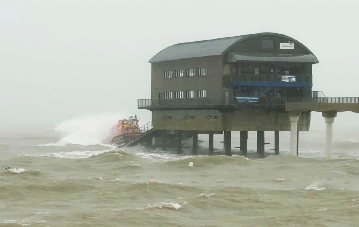
































































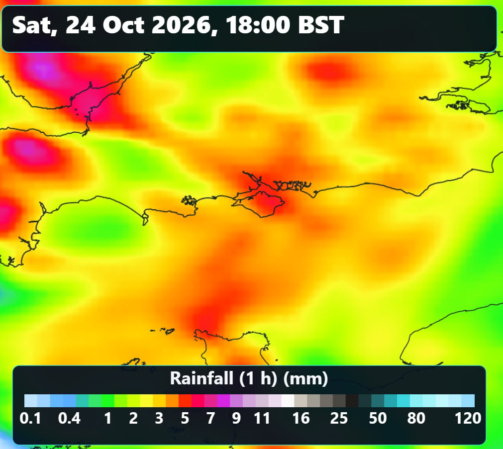
A new weather warning has been issued for the Isle of Wight, with up to 40mm of rainfall possible tomorrow (Saturday) as persistent and heavy downpours move across the Island.
The warning from IW Met Service explains that rain is expected to become persistent and heavy throughout tomorrow afternoon, continuing into the evening and early hours of Sunday morning.
Rainfall totals of between 20mm and 25mm are possible across many parts of the Isle of Wight, although some locations could see considerably more, with as much as 30-40mm forecast in places.


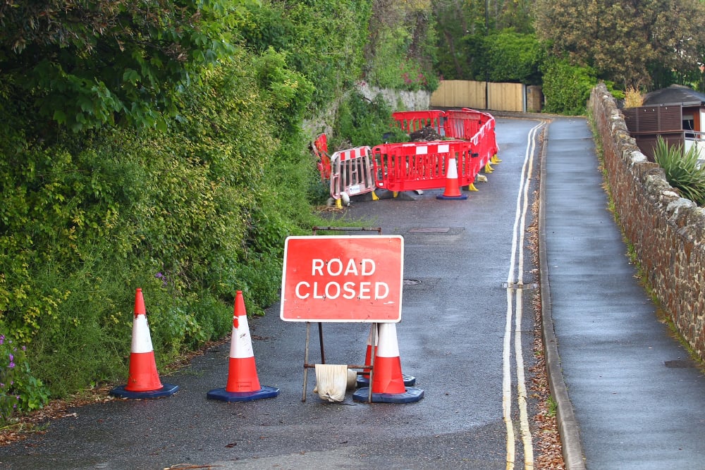
The heavy rainfall could lead to difficult driving conditions, with spray and surface water affecting roads. Exposed coastal routes may also experience challenging conditions. There is also a risk of rivers and streams overtopping their banks, potentially flooding nearby land.
Motorists are being urged to take extra care during the heaviest rainfall and allow additional time for journeys.
This fresh alert comes into force at midday on Saturday (24th October) and remains in place until 02:00 on Sunday.
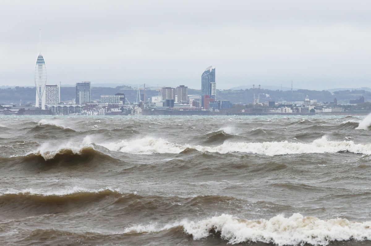
A yellow weather warning for strong winds remains in force until 20:00 tonight (Friday).