






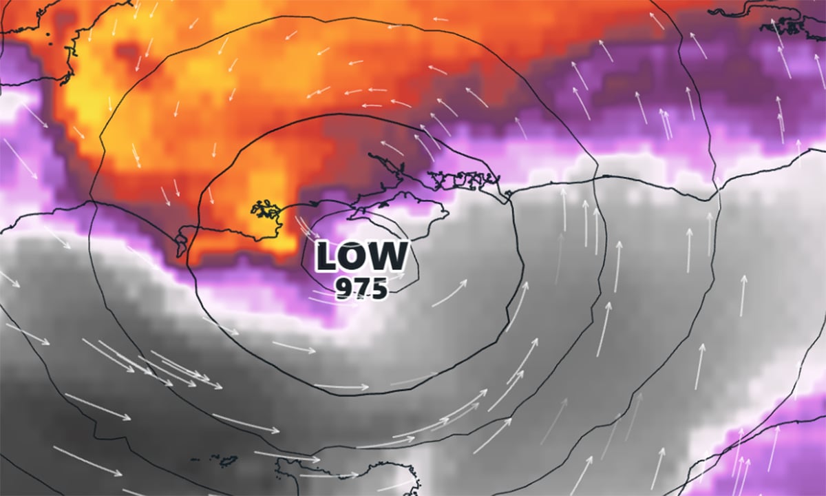




























































A yellow weather warning for heavy and potentially torrential rain has been issued for the Isle of Wight for tomorrow (Saturday). IW Met Service says that a small area of low pressure will run northeast from the Bay of Biscay and through the English Channel, bringing a spell of heavy and sometimes torrential rain. Rainfall amounts are varying between models, but something in the region of 30-40mm of rain is possible in the heaviest areas with 15-20mm elsewhere. The heaviest rain currently seems likely to be towards the East and South East of the Island, but this is by no means certain. Islanders are warned about the risk of localised flooding in the usual prone areas, with debris washing across carriageways too The warning is in force from 02:00 until 14:00 tomorrow (Saturday 24th August).



WEEKEND WASHOUT – 40MM RAINFALL POSSIBLE THIS SATURDAY WITH WEATHER WARNING ISSUED


Subscribe
Sign Up
Login
Login or Register
0 Comments
- Trending
- Comments
- Latest











TOP STORIES THIS WEEK
-

ELECTRIC BUS DAMAGED IN BEMBRIDGE CRASH – EMERGENCY SERVICES CALLED TO SCENE
-
‘DOWNED PLANE’ FEARS SPARK COASTGUARD SEARCH OFF ISLE OF WIGHT
-
MOTORCYCLE CRASH AT BUSY MORRISONS ROUNDABOUT CAUSES TRAFFIC DELAYS
-
27-YEAR-OLD ARRESTED AFTER POLICE VEHICLES TARGETED IN RYDE
-
END OF AN ERA AS THE GRIFFIN ANNOUNCES CLOSURE AND MANAGEMENT SHAKE-UP

Useful Links
External Links
