




































































A weather warning for the Isle of Wight has been updated ahead of tomorrow’s potentially stormy weather, with gusts of 70mph or more still possible and disruption to Cross-Solent travel among the concerns.
IW Met Service has extended its yellow weather warning for Friday (23rd October), which will now remain in force from 01:00 until 20:00 – 4 hours longer than originally forecast.
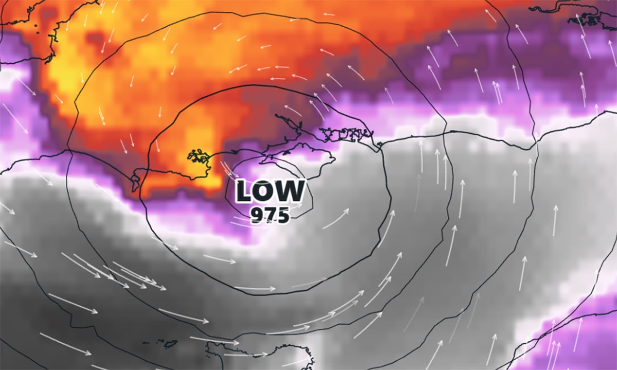
The latest warning suggests that gusts of up to 60mph remain possible, although winds could exceed 70mph if the approaching storm tracks slightly further north.


Forecasters say there is still considerable uncertainty over the exact path of ‘Storm Austen’, which could pass just south of the Isle of Wight – or directly across the area.

The current outlook favours a track through the English Channel or close to the south coast of England, which would see the strongest winds passing south of the Island. However, a shift further north could bring the Isle of Wight into the worst of the weather, while a more southerly track could mean the warning is no longer necessary.
Residents and those planning to travel tomorrow are being warned of potential disruption. Large waves and sea spray could affect exposed coastal routes, while cross-Solent ferry services may be disrupted by the strong winds.
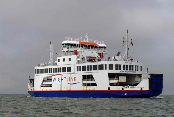
Wightlink has already warned of anticipated disruption to its Fastcat passenger service and its car ferry services from Fishbourne and Yarmouth.
Residents are being advised to secure loose outdoor items, allow extra time for journeys and take particular care near exposed coastlines.