






















































 The Office for National Statistics has revealed where local COVID-19 victims lived on the Isle of Wight.
Figures represent deaths that occurred between 1st March and 17th April 2020 that were registered by 18th April 2020.
Data is collated where coronavirus COVID-19 is listed as the underlying cause and/or is mentioned on the death certificate as a contributory factor.


On the 17th April, a total of 14 deaths had taken place at St Mary’s Hospital with 3 deaths in the community.
To date, 26 deaths have been announced on the Isle of Wight.
Isle of Wight Deaths – by Postcode
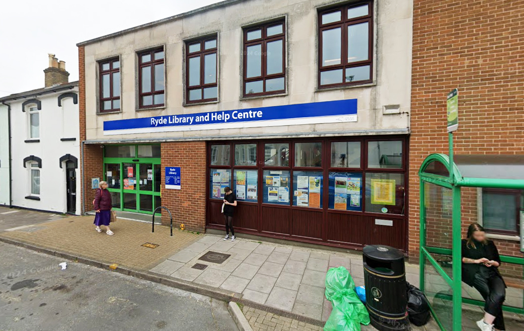
Ryde – 3
Yarmouth & Freshwater – 3
Cowes West – 2
Lake & Shanklin – 2
East Cowes – 1
Newport – 1
Bembridge – 1
Brading & Sandown – 1
Shanklin West & Newchurch – 1
Ventnor & Wroxall – 1
Some areas on the Island remain death-free including Brighstone, Shalfleet, Chale, Niton and Shorwell – all rural villages in the South and West Wight.









Might be because Ryde has the majority of people living here?
If it hasn’t now, will have when Pennyfeathers and Bullen, and Ashey road are concreted over and filled with inner city overspills finest. Think crime is bad now, your children will look back to these times as wonderful days.
One of the early deaths was of a taxi driver in Ryde. So that would probably account for at least two people.
Yes I knew that poor chap. A real Island Oakfield family, and a proper character. So sorry for his loved ones as one of the last people you would expect to be lost to this, a large as life character taken making it more shocking.
Well if you want a more detailed breakdown can I suggest you look to the Map of Death?
This is produced by the ONS and can narrow down the search a bit.
https://www.ons.gov.uk/peoplepopulationandcommunity/healthandsocialcare/conditionsanddiseases/articles/coronaviruscovid19roundup/2020-03-26
Very interesting map – it show that 90% of deaths on the island over the last two months were nothing to do with covid.
Quite reassuringly really since it shows we are doing the right thing over here.
No, it shows that most deaths on the island were not *attributed* to Covid. Due to appalling lack of testing though, who knows how many of those were, in reality, Covid deaths.
It looks like the large citys have been hit the most , the isle of wight per 100,000 is basic yellow compared to larger citys a few villages outside the big city’s have a few but most as I said ate in bigger citys if you cordon London, Birmingham, Manchester off you could contain covid thanks for the map
Hardly a hot spot when Yarmouth and freshwater have the same amount ♀️
There are 10 deaths missing from this list?
Check the relevant dates in the article for reason x
You are a silly man
It’s no worse per head of population than anywhere else in fact freshwater Yarmouth is the worst per head of population
old news this map needs updating
Perhaps you could do that for us ??
prat
Where they were contaminated is more important.
Hardly a hotspot
This information should have been given to us for each new case of the virus so we could try to avoid the area.
So it gets from China to England but you guys are more bothered about avoiding particular parts of the Isle of Wight?
It’s all over the island so this map is no use what so ever so just do what your supposed to do and assume everyone has it.
No deaths in Chale wow hardly surprising as it has a population of about 10 and 6 of those are dogs
Have you Ed, never heard of Spanners close?
Make Spring rabbits seem celibate.
An Ex Chale stores worker says fathers day is a sight to behold, with swarms running from door to door with cards, confused but hedging their bets.
More than six dogs too judging by the dogs dirt on Chale green.
Haha I have yes but every town on the Isle of Wight has its equivalent road
Keep em coming Frank. There’s nothing like a bit of light relief on these dark days.
Most sensible answer so far.
Love your comments furloughed frank people will vote you down because people don’t like the truth well done
It would be more useful if they told us how those who are infected caught the virus and their postcode area. I as most people want to know where we are most at risk. Are supermarkets a hotspot for catching the virus or not?
They were all on a coach trip to the mainland……maybe.
Great answer :-))
Where they live where the contracted it……. What else? The route they took home? Oh and the route they took everyday between contracting it and becoming symptomatic, everywhere they stopped for the preceding week or so, everyone who they came into contact with during that time. Everywhere that the people who had been in those corresponding places have been for the past two weeks ……….. I’m sure someone could draw up that simple map, perhaps you could use a different colour for each and draw a line on the map to show the precise movement of each person, and have the map live updated so we can work out a route to avoid where they have been. Or, possibly, we could just isolate and avoid contact as much as possible because if we are only going out when it’s absolutely essential, really essential, then who what where and how doesn’t matter as if our outings are essential then we will have to still do them regardless of any correlation between the poor victims ……… Victims that are human beings
If it was to do with ryde being the gateway…… Does everyone coming in via the gateway live in ryde? And what about east cowes?
Perhaps the virus stays in ryde after getting off the hovercraft because it can’t be bothered To climb up the hill to get out, it is steep after all and ryde is a nice place so it’s probably happy there
a map showing where the people with coronavirus are from be more useful could have 20 cases in bembridge for example with just 1 death just showing the deaths not necessarily showing any hotspot
Speculation and Conspiracy. Is that the best any of you able to come up with.
Pretty much, there’s not much else to do to pass the time
Hotspot!!!
By post code? LOL