























































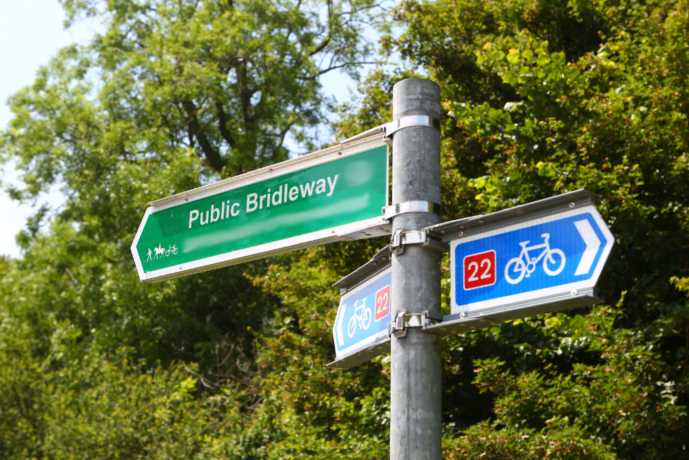

 The Country Land and Business Association (CLA) has slammed the Government for removing the cut-off date for adding historic unrecorded rights of way to the Definitive Map.
The map is intended to record all historic rights of way, and members of the public have long been able to apply to update it where they have evidence.
There have been more than 70 years to get the Definitive Map up-to-date and 22 years since a provision for a cut-off was set out in the Countryside and Rights of Way Act. The Act set out how all updates to the map should be completed by 2026, providing certainty to farmers and landowners who may have had lost rights of way on their land.


Yet the Government this week decided to remove this cut-off date without consultation, much to the confusion and anger of industry bodies.

CLA President Mark Tufnell said:
“We have engaged constructively and collaboratively on this issue since the turn of the century. For Government to rip up long established processes without warning, let alone consultation, is extraordinary – and deeply damaging.
“Those seeking to recover long-lost public rights of way have had decades to apply to modify the map, and we have supported their right to do so. But the cut-off date was there for good reason, not least to help provide certainty to farmers and landowners who may wish to buy or sell land, or those who simply need to know what their responsibilities are.
“I could perhaps understand the change if our countryside was already lacking in public access. But there are over 140,000 miles of public footbaths in England and Wales alone. That’s enough to go around the Earth six times.
Article continues below this advertisement “We strongly encourage Ministers to rethink this move, to re-engage with us and to restore trust in what we always thought was a worthwhile process.”










And for years many landowners have been getting Rights of Way closed, diverted and otherwise impeded in a quite deliberate policy of restricting public access to the countryside. This is good news not bad.
“much to the confusion and anger of industry bodies”
Because they have been hiding these rights of way for years and are waiting to then build all over them.
Well, they would say that wouldn’t they?
The IoW council choose to ignore the definitive map when it suits them. The “road” to the Old and New battery at Alum bay is designated as a footpath but when it was queried they say it is a “shared resource” and cyclists and cars are allowed at their (the IoW) discretion…..