
































































 A spell of strong and gusty Southwesterly winds will develop during the early hours of Friday morning, forecasters have warned.
IW Met Service says that gusts in excess of 50mph are likely fairly widely across the Island between 02:00 and 16:00 tomorrow.
There is a risk of gusts up to 60mph in exposed locations in more western and southern parts.


The wind will gradually ease through Friday afternoon.
The latest data suggests that the Island will also see a small risk of flooding on some Solent coasts, along with overtopping of sea defenses.
Solent coasts have a small risk of flooding although the impacts at this point look relatively minor. This includes Yarmouth, Newtown and Gurnard. In Cowes, the risk appears to be somewhat lower although an amount of sea water may potentially make its way onto the road adjacent to the sea in East Cowes.
The entire West coast of the island will see some very large waves with potentially hazardous conditions at Freshwater Bay, Castle haven, Steephill Cove and Ventnor through to Monks Bay.
Other areas such as Colwell Bay, Totland Bay, Shanklin through to Sandown and Whitecliff Bay will see some moderate to large waves with over-topping, and whilst it seems unlikely that any beachfront properties will be at risk, we are still expecting a lot of spray and shingle to be deposited on walkways and roads directly adjacent to the sea. This will be very hazardous at times, especially around high tide and for an hour either side.

Falling tree debris is likely in some areas along with delays to some public transport including cross Solent travel.










Summer is indeed over.
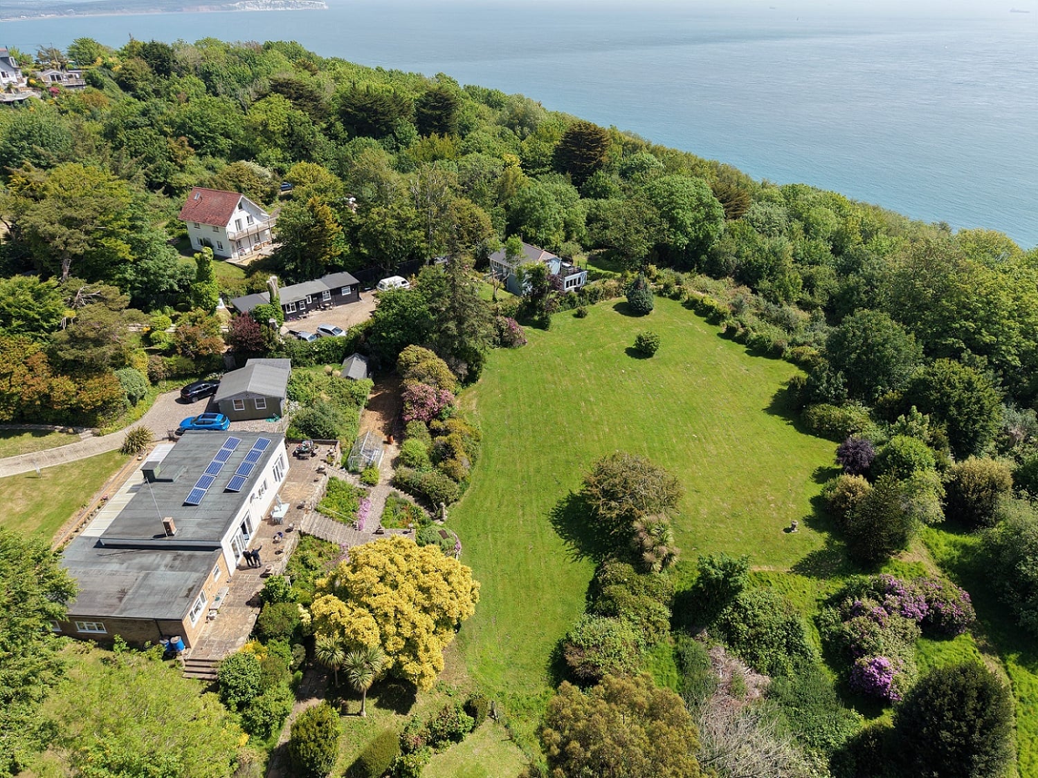
Please don’t play on the cliffs like the lady in the photo.