












































The Isle of Wight Council’s Rights of Way team have now closed the Island’s Byways to motor vehicles for the winter season.
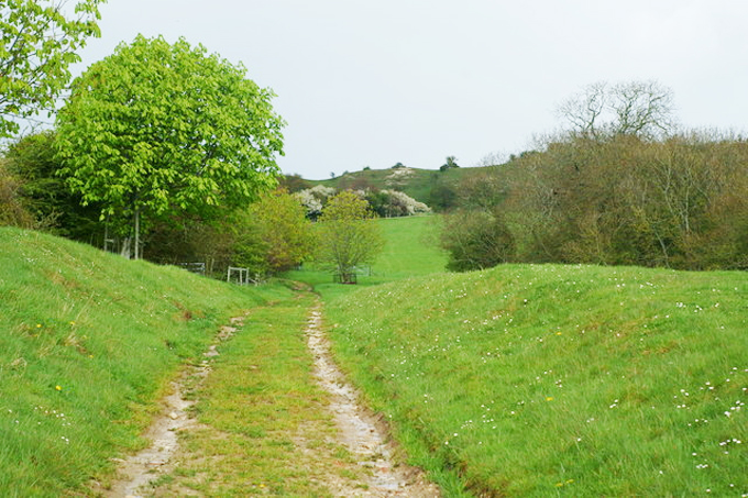
The closures, which began earlier than in 2016 on Monday 2nd October, are aimed at through traffic and leisure vehicle use, which is normally 4×4’s or off road motorcycles. The reason for closures is that during the winter and wet weather the unbound surfaces become soft and are easily damaged. Motor vehicle use causes deep ruts and the surfaces get churned up with the result of making them impassable and dangerous for all users. Furthermore, rectifying the damage is extremely costly and time consuming.
The Rights of Way team wait as long as possible before invoking the motor vehicle closure, although this is not always popular with those drivers who enjoy off roading. However, drivers are being asked to be considerate and to comply with the closures in order to protect the Rights of Way network for the benefit of everyone.


Closures will not affect carriage drivers, equestrians, cyclists, walkers or any residents or landowners who have lawful authority to access their land or property.
The Island’s Rights of Way network, including Byways (which are also referred to as BOAT’s – Byways Open to All Traffic) can be found by looking at the Isle of Wight Council’s Definitive Map at https://www.iwight.com/rightsofwaymaps/.
The Byways which will be affected are listed below:
• A25 (Great East Standen Lane) between its junctions with Burnt House Lane and Public Byway A28.
• A28 (St George’s Down) between its junctions with Arreton Cross and approximately the entrance into Newport Golf Club off St Georges Lane.
• B13 (Galleyhorn Lane) from its junction with Byway B14 to its junction with byway R63 (Attrills Lane).

• B14 (Galleyhorn Lane) from its junction with Byway B15 / B15A to its junction with Byway B13.
• B21 (Ricketts Hill) from its junction with West Lane to its junction with Rowborough Lane.
• B33 (Kern) from its junction with Kern Lane to its junction with Brading Down Road.
• B35 between its junctions with Kern Lane and Public Byway NC45A.
• BB37 (Peacock Hill) from its junction with B3395 Sandown/Bembridge Rd to a point approx. 400 metres south of Hillway Rd.
• BS76 (Hulverstone Lane) from its junction with Military Rd to a point approx 110 metres south of Brighstone Rd.
• BS86 from its junction with Byway BS89 to its junction with Dunsbury Farm Lane.
• BS89 from its junction with Byway F55 to its junction with Byway BS53.
• BS100 (Riget Lane) from its junction with Military Road to a point approx 140 metres south of Brighstone Road.
• BS101 (Blind Lane) from its junction with Hoxall Lane to its junction with Brook Road.
• BS104 (Pitt Place Lane) from its junction with Hoxall Lane to a point approx 260 metres south of Brook Road.
• BS106 (Sheep Lane) between its junctions with Brook Farm Close and the Military Road.
• C32A (Ashbridge Lane) between its junctions with Appleford Road and Public Byway SW41.
• GL30 (Bobbestone Farm) between its junctions with Lessland Lane and Public Byway NC33.
• GL48 (Part) from its junction with Byway V57 until its junction with Bridleway GL51 (at car parking area).
• F55 from a point approx 530 metres east of its junction with Military Road to its junction with Byway BS89.
• NC33 (Bobberstone Farm) between its junctions with Canteen Road and Public Byway GL30.
• NC45A (Lower Knighton Ln.) between its junctions with Public Byway B35 & its junction with Knighton Shute /Ln.
• R63 (Attrills Lane) from its junction with Byway B13 for a distance of approx 200 metres.
• SS17 (Lower Hyde Estate) from its junction with byway SS87 (Upper Hyde Lane) to its junction with Bridleways SS18A / SS89 at New Barn Lane.
• SS18 from its junction with Bridleways SS18A / SS89 at New Barn Ln. to its junction with A3056 Newport Rd, Lake.
• SS87 (Upper Hyde Ln.) from its junction with Cliff Bridge (A3020 Godshill Rd/Victoria Ave.to its junction with SS17.
• SW41 (Ashbridge Lane) between its junctions with Emmett Hill and Public Byway C32A.
• SW56 (Dungewood Lane) between its junctions with Kingston Road and its junction with Atherfield Road.
• V62 for its whole length from its junction with Byway V60 at Week Farm Lane to its junction with Byway V57.
• V57 for its whole length from its junction with Byway V62 to its junction with Byway GL48.